95 N Rolland Ridge Rd Apache Junction, AZ 85119
Estimated Value: $574,912 - $690,000
--
Bed
--
Bath
1,874
Sq Ft
$337/Sq Ft
Est. Value
About This Home
This home is located at 95 N Rolland Ridge Rd, Apache Junction, AZ 85119 and is currently estimated at $631,728, approximately $337 per square foot. 95 N Rolland Ridge Rd is a home located in Pinal County with nearby schools including Desert Vista Elementary School, Cactus Canyon Junior High School, and Apache Junction High School.
Ownership History
Date
Name
Owned For
Owner Type
Purchase Details
Closed on
Jun 11, 2003
Sold by
Rolland Dale M and Rolland Bette J
Bought by
Rolland Dale M and Rolland Bette J
Current Estimated Value
Purchase Details
Closed on
Dec 7, 2001
Sold by
Rolland Dale and Rolland Bette J
Bought by
Rolland Dale M and Rolland Bette J
Purchase Details
Closed on
Oct 5, 1996
Sold by
Potts Daniel W and Potts Kari A
Bought by
Rolland Dale and Rolland Bette J
Home Financials for this Owner
Home Financials are based on the most recent Mortgage that was taken out on this home.
Original Mortgage
$169,600
Outstanding Balance
$22,771
Interest Rate
8.37%
Mortgage Type
New Conventional
Estimated Equity
$608,957
Create a Home Valuation Report for This Property
The Home Valuation Report is an in-depth analysis detailing your home's value as well as a comparison with similar homes in the area
Home Values in the Area
Average Home Value in this Area
Purchase History
| Date | Buyer | Sale Price | Title Company |
|---|---|---|---|
| Rolland Dale M | -- | Chicago Title Insurance Co | |
| Rolland Dale M | -- | Chicago Title Insurance Co | |
| Rolland Dale M | -- | Capital Title Agency Inc | |
| Rolland Dale | $189,720 | Old Republic Title Agency |
Source: Public Records
Mortgage History
| Date | Status | Borrower | Loan Amount |
|---|---|---|---|
| Open | Rolland Dale | $169,600 |
Source: Public Records
Tax History Compared to Growth
Tax History
| Year | Tax Paid | Tax Assessment Tax Assessment Total Assessment is a certain percentage of the fair market value that is determined by local assessors to be the total taxable value of land and additions on the property. | Land | Improvement |
|---|---|---|---|---|
| 2025 | $2,810 | $48,043 | -- | -- |
| 2024 | $2,640 | $45,366 | -- | -- |
| 2023 | $2,764 | $41,027 | $11,663 | $29,364 |
| 2022 | $2,640 | $29,130 | $7,632 | $21,498 |
| 2021 | $2,724 | $26,801 | $0 | $0 |
| 2020 | $2,656 | $26,063 | $0 | $0 |
| 2019 | $2,542 | $24,649 | $0 | $0 |
| 2018 | $2,486 | $23,145 | $0 | $0 |
| 2017 | $2,423 | $22,170 | $0 | $0 |
| 2016 | $2,349 | $20,529 | $5,582 | $14,947 |
| 2014 | $2,256 | $14,784 | $4,010 | $10,775 |
Source: Public Records
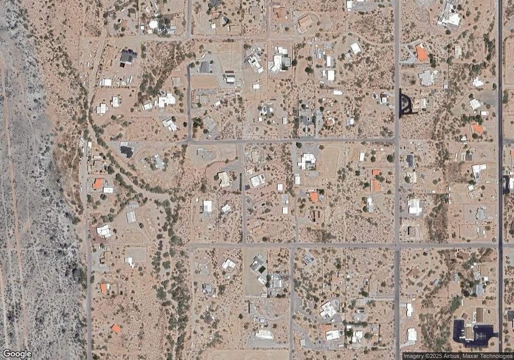
Map
Nearby Homes
- 0 S Roadrunner Rd Unit 3
- 0 S Roadrunner Rd Unit D
- 0 S Roadrunner Rd Unit 6850461
- 0 E Roosevelt St Unit 6801918
- Apache Jct Unit Arizona
- 4079 E Roosevelt St
- 442 N Mountain View Rd
- 4237 E 4th Ave
- 0 N Roadrunner Rd Unit 6877215
- 0 N Roadrunner Rd Unit 22519647
- 562 N Sun Rd
- 619 N Sun Rd
- 1025 N Boyd Rd
- 75 N Val Vista Rd
- 95 S Val Vista Rd
- 5354 E Cactus Wren St
- 4129 E Roundup St
- 5130 E Superstition Blvd
- 613 S Val Vista Rd
- E W Broadway Ave
- 4335 E Roosevelt St
- 51 N Rolland Ridge Rd
- 4291 E Roosevelt St
- 4290 E Junction St
- 19 N Rolland Ridge Rd
- 4400 E Roosevelt St
- 4225 E Roosevelt St
- 4224 E Junction Dr
- 4459 E Roosevelt St
- 77 N Roadrunner Rd
- 4424 E Roosevelt St
- 4424 N Roosevelt St
- 0 S Roadrunner Rd Unit A 5683349
- 0 S Roadrunner Rd Unit 2952294
- 0 S Roadrunner Rd Unit 15B 4671099
- 0 S Roadrunner Rd Unit 5212388
- 0 S Roadrunner Rd
- 0000 S Roadrunner Rd Unit 23B
- 0000 S Roadrunner Rd Unit A
- 0 S Roadrunner Rd Unit 6664220