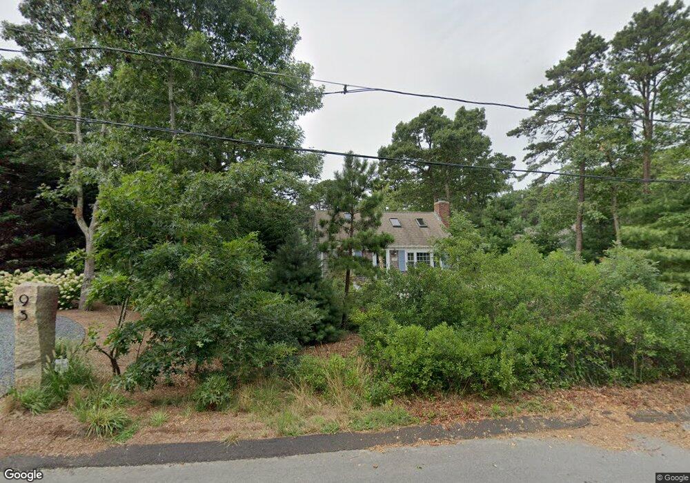
95 Northwest St Eastham, MA 02642
Estimated Value: $605,000 - $775,000
2
Beds
1
Bath
616
Sq Ft
$1,057/Sq Ft
Est. Value
About This Home
This home is located at 95 Northwest St, Eastham, MA 02642 and is currently estimated at $650,886, approximately $1,056 per square foot. 95 Northwest St is a home located in Barnstable County with nearby schools including Eastham Elementary School, Nauset Regional Middle School, and Nauset Regional High School.
Ownership History
Date
Name
Owned For
Owner Type
Purchase Details
Closed on
Sep 24, 2014
Sold by
Clock Patricia S
Bought by
Mccolgan Stephen and Mccolgan Yuko
Current Estimated Value
Home Financials for this Owner
Home Financials are based on the most recent Mortgage that was taken out on this home.
Original Mortgage
$262,500
Outstanding Balance
$200,812
Interest Rate
4.12%
Mortgage Type
New Conventional
Estimated Equity
$450,074
Purchase Details
Closed on
Nov 25, 1991
Sold by
Tappe Andrew and Tappe Dianne
Bought by
Clock A William and Clock Patricia S
Home Financials for this Owner
Home Financials are based on the most recent Mortgage that was taken out on this home.
Original Mortgage
$90,000
Interest Rate
8.7%
Mortgage Type
Purchase Money Mortgage
Purchase Details
Closed on
Aug 3, 1988
Sold by
Welch John L
Bought by
Tappe Andrew
Create a Home Valuation Report for This Property
The Home Valuation Report is an in-depth analysis detailing your home's value as well as a comparison with similar homes in the area
Home Values in the Area
Average Home Value in this Area
Purchase History
| Date | Buyer | Sale Price | Title Company |
|---|---|---|---|
| Mccolgan Stephen | $350,000 | -- | |
| Clock A William | $123,000 | -- | |
| Tappe Andrew | $128,000 | -- |
Source: Public Records
Mortgage History
| Date | Status | Borrower | Loan Amount |
|---|---|---|---|
| Open | Mccolgan Stephen | $262,500 | |
| Previous Owner | Tappe Andrew | $70,000 | |
| Previous Owner | Tappe Andrew | $85,000 | |
| Previous Owner | Tappe Andrew | $90,000 |
Source: Public Records
Tax History
| Year | Tax Paid | Tax Assessment Tax Assessment Total Assessment is a certain percentage of the fair market value that is determined by local assessors to be the total taxable value of land and additions on the property. | Land | Improvement |
|---|---|---|---|---|
| 2025 | $3,957 | $513,200 | $291,100 | $222,100 |
| 2024 | $3,499 | $499,200 | $282,600 | $216,600 |
| 2023 | $3,265 | $451,000 | $261,700 | $189,300 |
| 2022 | $3,187 | $371,400 | $233,700 | $137,700 |
| 2021 | $3,134 | $341,400 | $212,400 | $129,000 |
| 2020 | $2,965 | $340,000 | $216,800 | $123,200 |
| 2019 | $2,351 | $285,000 | $210,500 | $74,500 |
| 2018 | $2,310 | $276,700 | $204,300 | $72,400 |
| 2017 | $2,143 | $271,300 | $200,300 | $71,000 |
| 2016 | $2,010 | $270,100 | $200,300 | $69,800 |
| 2015 | $1,876 | $264,200 | $196,400 | $67,800 |
Source: Public Records
Map
Nearby Homes
- 55 Grandfathers Way
- 330 Hay Rd
- 1061 State Hwy Unit 4
- 1061 State Hwy Unit 1061
- 20 Kittiwake Ln
- 25 Twin Rocks Dr
- 320 State Hwy
- 60 Smith Heights Way
- 20 Stone Ct
- 10 Cartway N
- 40 Bayview Rd
- 46 Freeman Ln
- 339 Dyer Prince Rd
- 181 Rock Harbor Rd
- 480 Dyer Prince Rd
- 2 Reilly Run
- 343 Tonset Rd
- 32 Locust Rd
- 6 Penny Ln
- 13 S Orleans Rd Unit 42
- 85 Northwest St
- 440 Foxwood Dr
- 5 Bayland Way
- 81 Northwest St
- 60 East St
- 405 Foxwood Dr
- 420 Foxwood Dr
- 80 Northwest St
- 375 Foxwood Dr
- 75 Northwest St
- 50 East St
- 15 Bayland Way
- 345 Foxwood Dr
- 400 Foxwood Dr
- 35 Bayland Way
- 55 Northwest St
- 55 Northwest St Unit 1
- 18 White Pines Dr
- 380 Foxwood Dr
- 60 Northwest St
Your Personal Tour Guide
Ask me questions while you tour the home.