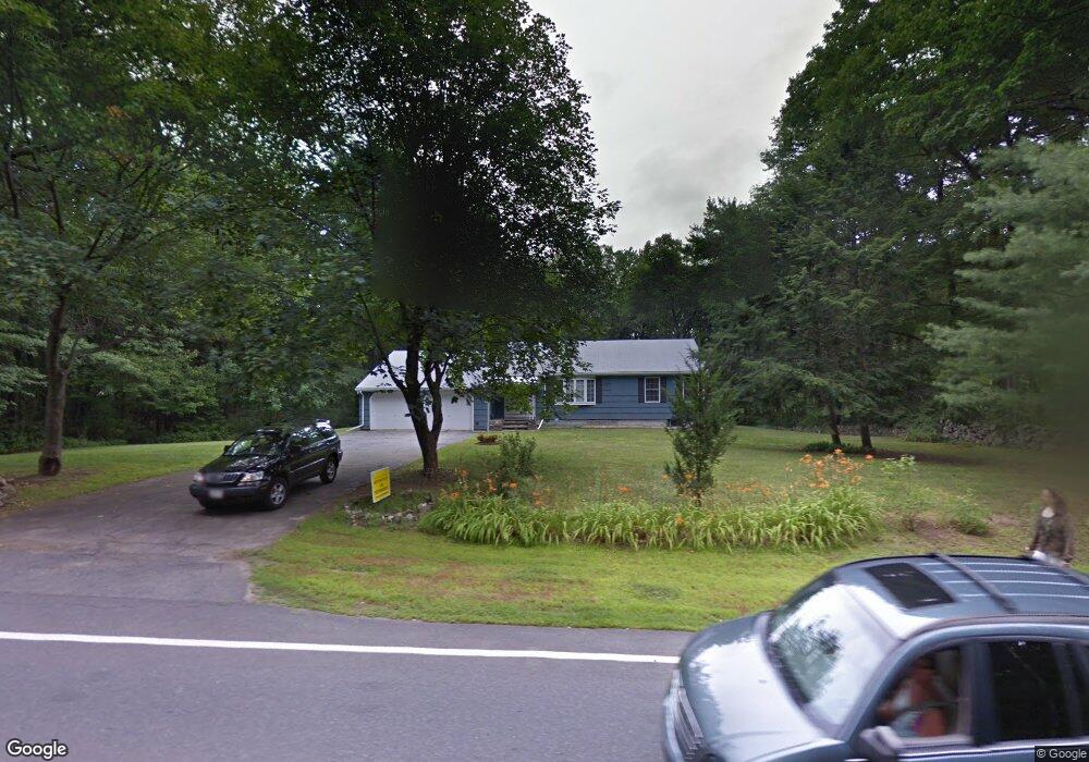
95 Nourse St Westborough, MA 01581
Estimated Value: $656,000 - $703,000
2
Beds
3
Baths
1,344
Sq Ft
$499/Sq Ft
Est. Value
About This Home
This home is located at 95 Nourse St, Westborough, MA 01581 and is currently estimated at $671,167, approximately $499 per square foot. 95 Nourse St is a home located in Worcester County with nearby schools including Westborough High School, Al-Hamra Academy, and Ebridge Montessori School.
Ownership History
Date
Name
Owned For
Owner Type
Purchase Details
Closed on
Jul 28, 2004
Sold by
Laplante Mary A
Bought by
Bonney Suzanne M
Current Estimated Value
Home Financials for this Owner
Home Financials are based on the most recent Mortgage that was taken out on this home.
Original Mortgage
$288,000
Outstanding Balance
$145,933
Interest Rate
6.33%
Mortgage Type
Purchase Money Mortgage
Estimated Equity
$525,234
Create a Home Valuation Report for This Property
The Home Valuation Report is an in-depth analysis detailing your home's value as well as a comparison with similar homes in the area
Home Values in the Area
Average Home Value in this Area
Purchase History
| Date | Buyer | Sale Price | Title Company |
|---|---|---|---|
| Bonney Suzanne M | $320,000 | -- |
Source: Public Records
Mortgage History
| Date | Status | Borrower | Loan Amount |
|---|---|---|---|
| Open | Bonney Suzanne M | $288,000 |
Source: Public Records
Tax History Compared to Growth
Tax History
| Year | Tax Paid | Tax Assessment Tax Assessment Total Assessment is a certain percentage of the fair market value that is determined by local assessors to be the total taxable value of land and additions on the property. | Land | Improvement |
|---|---|---|---|---|
| 2025 | $9,264 | $568,700 | $342,700 | $226,000 |
| 2024 | $8,891 | $541,800 | $318,800 | $223,000 |
| 2023 | $8,337 | $495,100 | $302,200 | $192,900 |
| 2022 | $7,623 | $412,300 | $240,400 | $171,900 |
| 2021 | $911 | $386,100 | $214,200 | $171,900 |
| 2020 | $7,323 | $399,700 | $223,000 | $176,700 |
| 2019 | $782 | $394,600 | $223,000 | $171,600 |
| 2018 | $6,441 | $348,900 | $207,700 | $141,200 |
| 2017 | $896 | $314,900 | $207,700 | $107,200 |
| 2016 | $5,400 | $303,900 | $196,800 | $107,100 |
| 2015 | $5,648 | $303,800 | $196,800 | $107,000 |
Source: Public Records
Map
Nearby Homes
- 8 Arch St
- 10 Linda St
- 30 Arch St
- 71 Nourse St
- 49 Arch St Unit 2
- 201 Old Westboro Rd
- Lot 1 Beeton Path
- 1 Benjamin Dr
- 8 Arch St
- 61 Wesson St
- 17 Olde Hickory Path
- 165 Green St
- 603 South St
- 30 Old Nourse St
- 457 Walnut St
- 22 Capt Samuel Forbush Rd
- 16 Daania Dr Unit 16
- 562 South St
- 19 Magnolia Ln
- 14 Nourse St