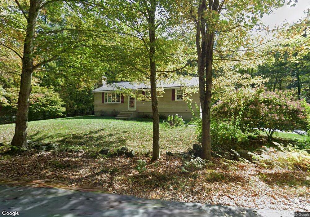
95 Paddock Rd Rutland, MA 01543
Estimated Value: $418,000 - $496,000
3
Beds
2
Baths
1,056
Sq Ft
$425/Sq Ft
Est. Value
About This Home
This home is located at 95 Paddock Rd, Rutland, MA 01543 and is currently estimated at $448,601, approximately $424 per square foot. 95 Paddock Rd is a home located in Worcester County with nearby schools including Wachusett Regional High School.
Ownership History
Date
Name
Owned For
Owner Type
Purchase Details
Closed on
Apr 29, 2024
Sold by
Vigeant Wayne F and Vigeant Martha G
Bought by
Vigeant Ft and Vigeant
Current Estimated Value
Purchase Details
Closed on
Jan 23, 1980
Bought by
Vigeant Wayne F
Create a Home Valuation Report for This Property
The Home Valuation Report is an in-depth analysis detailing your home's value as well as a comparison with similar homes in the area
Home Values in the Area
Average Home Value in this Area
Purchase History
| Date | Buyer | Sale Price | Title Company |
|---|---|---|---|
| Vigeant Ft | -- | None Available | |
| Vigeant Ft | -- | None Available | |
| Vigeant Wayne F | -- | -- |
Source: Public Records
Mortgage History
| Date | Status | Borrower | Loan Amount |
|---|---|---|---|
| Previous Owner | Vigeant Wayne F | $38,000 |
Source: Public Records
Tax History Compared to Growth
Tax History
| Year | Tax Paid | Tax Assessment Tax Assessment Total Assessment is a certain percentage of the fair market value that is determined by local assessors to be the total taxable value of land and additions on the property. | Land | Improvement |
|---|---|---|---|---|
| 2025 | $5,623 | $394,900 | $97,700 | $297,200 |
| 2024 | $5,244 | $353,600 | $93,800 | $259,800 |
| 2023 | $4,823 | $351,500 | $88,500 | $263,000 |
| 2022 | $4,705 | $298,000 | $74,800 | $223,200 |
| 2021 | $4,469 | $267,600 | $74,800 | $192,800 |
| 2020 | $9,577 | $255,300 | $71,000 | $184,300 |
| 2019 | $9,468 | $246,100 | $67,600 | $178,500 |
| 2018 | $4,262 | $235,100 | $67,600 | $167,500 |
| 2017 | $8,815 | $229,000 | $67,600 | $161,400 |
| 2016 | $3,870 | $222,800 | $64,300 | $158,500 |
| 2015 | $3,639 | $206,200 | $64,300 | $141,900 |
| 2014 | $3,528 | $206,200 | $64,300 | $141,900 |
Source: Public Records
Map
Nearby Homes
- 569 E County Rd
- 35 Brintnal Dr
- 140 Ridge Rd
- 45 Old Colony Rd
- 56 Hubbardston Rd
- 16 Richards Ave
- 147 E County Rd Unit 149
- 139 E County Rd Unit 139
- 25 Watson Ln
- 5 Miles Rd
- 75 Barre Rd
- 9 Old Princeton Road Cut-Off
- 47 Woodside Ave
- 90 Woodside Ave
- 30 Woodside Ave
- 22 Village Way
- 17 Village Way
- 13 Woodside Ave
- 28 Forest Hill Dr
- 11 Lewis St
- 89 Paddock Rd
- 98 Paddock Rd
- 31 Bushy Ln
- 79 Paddock Rd
- 30 Bushy Ln
- 34 Bushy Ln
- 38 Bushy Ln
- 73 Paddock Rd
- 376 Pommogussett Rd
- 42 Bushy Ln
- 42 Bushy Ln Unit 1
- 378 Pommogussett Rd
- 430 E County Rd
- 46 Bushy Ln
- 427 E County Rd
- 0 Pommogussett Rd
- 0 Pommogussett Rd Unit 71121521
- 1 Abbott Rd
- 66 Paddock Rd
- 426 E County Rd