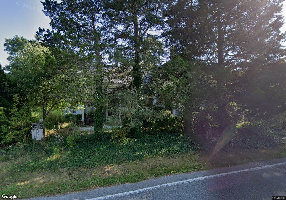
95 Parallel St Harwich, MA 02645
Harwich Port NeighborhoodEstimated Value: $621,000 - $657,000
3
Beds
2
Baths
1,266
Sq Ft
$507/Sq Ft
Est. Value
About This Home
This home is located at 95 Parallel St, Harwich, MA 02645 and is currently estimated at $642,074, approximately $507 per square foot. 95 Parallel St is a home located in Barnstable County with nearby schools including Harwich Elementary School, Chatham Elementary School, and Monomoy Regional Middle School.
Ownership History
Date
Name
Owned For
Owner Type
Purchase Details
Closed on
Aug 25, 1972
Bought by
Nilson Jeffrey K and Nilson Marietta D
Current Estimated Value
Create a Home Valuation Report for This Property
The Home Valuation Report is an in-depth analysis detailing your home's value as well as a comparison with similar homes in the area
Home Values in the Area
Average Home Value in this Area
Purchase History
| Date | Buyer | Sale Price | Title Company |
|---|---|---|---|
| Nilson Jeffrey K | -- | -- |
Source: Public Records
Mortgage History
| Date | Status | Borrower | Loan Amount |
|---|---|---|---|
| Open | Nilson Jeffrey K | $172,000 | |
| Closed | Nilson Jeffrey K | $51,000 | |
| Closed | Nilson Jeffrey K | $40,000 |
Source: Public Records
Tax History
| Year | Tax Paid | Tax Assessment Tax Assessment Total Assessment is a certain percentage of the fair market value that is determined by local assessors to be the total taxable value of land and additions on the property. | Land | Improvement |
|---|---|---|---|---|
| 2025 | $3,387 | $573,100 | $200,900 | $372,200 |
| 2024 | $3,289 | $545,500 | $189,500 | $356,000 |
| 2023 | $3,179 | $478,700 | $172,300 | $306,400 |
| 2022 | $3,134 | $386,400 | $149,900 | $236,500 |
| 2021 | $2,976 | $346,100 | $136,200 | $209,900 |
| 2020 | $2,931 | $335,700 | $133,400 | $202,300 |
| 2019 | $2,891 | $333,500 | $128,200 | $205,300 |
| 2018 | $2,797 | $308,600 | $116,500 | $192,100 |
| 2017 | $2,646 | $295,000 | $106,200 | $188,800 |
| 2016 | $2,583 | $284,800 | $106,200 | $178,600 |
| 2015 | $2,578 | $287,400 | $104,100 | $183,300 |
| 2014 | $2,444 | $278,700 | $101,000 | $177,700 |
Source: Public Records
Map
Nearby Homes
- 26 Pleasant Lake Ave Unit 16
- 44 Beriah Brooks Rd
- 19 Larkin Ln
- 13 Allen St
- 135 Sisson Rd
- 5 Rocky Way
- 4 Berry Ln
- 2 Bassett Woods Rd
- 7 Howard Rd
- 18 Old Campground
- 35 Wendys Way
- 10 Notre Dame Ave
- 9 Jason Ln
- 14 Harold St Unit 13A
- 14 Harold St Unit 14A
- 14 Harold St Unit 6F
- 14 Harold St Unit 13A
- 14 Harold St Unit 14A
- 359 Great Western Rd
- 515 Route 28
- 91 Parallel St
- 94 Parallel St
- 97 Parallel St
- 475 Sisson Rd
- 98 Parallel St
- 98 Parallel St Unit 1 & 2
- 98 Parallel St Unit 2
- 98 Parallel St Unit 1
- 265 Sisson Rd
- 701 Main St
- 100 Parallel St
- 697 Main St
- 711 Main St
- 80 Parallel St
- 0 Main St
- 76 Parallel St
- 703 Main St
- 705 Main St
- 102 Parallel St
- 707 Main St
Your Personal Tour Guide
Ask me questions while you tour the home.