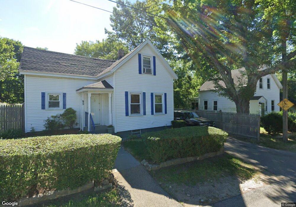
95 River St Brockton, MA 02302
Estimated Value: $375,000 - $430,000
2
Beds
1
Bath
746
Sq Ft
$536/Sq Ft
Est. Value
About This Home
This home is located at 95 River St, Brockton, MA 02302 and is currently estimated at $399,839, approximately $535 per square foot. 95 River St is a home located in Plymouth County with nearby schools including Brookfield Elementary School, Downey Elementary School, and Ashfield Middle School.
Ownership History
Date
Name
Owned For
Owner Type
Purchase Details
Closed on
Oct 3, 2011
Sold by
Mcconnico Terrence and Mcconnico Neena
Bought by
Vasquez Celso R
Current Estimated Value
Purchase Details
Closed on
Feb 1, 2006
Sold by
Johnson Jeremiah A and Johnson Alicia R
Bought by
Mcconnico Terrrance and Mcconnico Neena
Purchase Details
Closed on
Jul 1, 2004
Sold by
Broome William J
Bought by
Johnson Jeremiah A and Johnson Alicia R
Purchase Details
Closed on
Apr 30, 1999
Sold by
Croce Nickalos A and Croce Jacqueline A
Bought by
Broome William J
Create a Home Valuation Report for This Property
The Home Valuation Report is an in-depth analysis detailing your home's value as well as a comparison with similar homes in the area
Home Values in the Area
Average Home Value in this Area
Purchase History
| Date | Buyer | Sale Price | Title Company |
|---|---|---|---|
| Vasquez Celso R | $60,000 | -- | |
| Mcconnico Terrrance | $217,000 | -- | |
| Johnson Jeremiah A | $200,000 | -- | |
| Broome William J | $39,950 | -- | |
| Broome William J | $39,950 | -- |
Source: Public Records
Mortgage History
| Date | Status | Borrower | Loan Amount |
|---|---|---|---|
| Previous Owner | Broome William J | $188,800 | |
| Previous Owner | Broome William J | $47,200 |
Source: Public Records
Tax History Compared to Growth
Tax History
| Year | Tax Paid | Tax Assessment Tax Assessment Total Assessment is a certain percentage of the fair market value that is determined by local assessors to be the total taxable value of land and additions on the property. | Land | Improvement |
|---|---|---|---|---|
| 2025 | $3,909 | $322,800 | $134,200 | $188,600 |
| 2024 | $3,878 | $322,600 | $134,200 | $188,400 |
| 2023 | $3,798 | $292,600 | $100,900 | $191,700 |
| 2022 | $3,224 | $230,800 | $91,400 | $139,400 |
| 2021 | $3,022 | $208,400 | $75,400 | $133,000 |
| 2020 | $2,786 | $183,900 | $71,300 | $112,600 |
| 2019 | $2,695 | $173,400 | $68,600 | $104,800 |
| 2018 | $2,722 | $169,500 | $68,600 | $100,900 |
| 2017 | $2,330 | $144,700 | $68,600 | $76,100 |
| 2016 | $2,236 | $128,800 | $66,400 | $62,400 |
| 2015 | $2,073 | $114,200 | $66,400 | $47,800 |
| 2014 | $1,983 | $109,400 | $66,400 | $43,000 |
Source: Public Records
Map
Nearby Homes
- 89 River St
- 149 E Ashland St
- 000 E Ashland (1) and River (2)
- 139 E Ashland St
- 150 E Ashland St
- 148 E Ashland St
- 133 E Ashland St
- 133 E Ashland St Unit 1
- 136 E Ashland St
- 142 E Ashland St
- 127 E Ashland St
- 57 River St
- 130 E Ashland St
- 60 River St
- 121 E Ashland St
- 124 E Ashland St
- 52 River St
- 55c River St Unit A
- 53 River St
- 115 E Ashland St