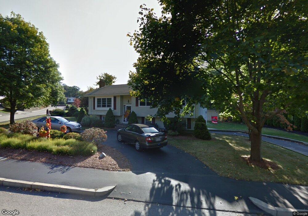
95 Robbie Rd Braintree, MA 02184
East Braintree NeighborhoodEstimated Value: $742,311 - $835,000
3
Beds
2
Baths
1,812
Sq Ft
$443/Sq Ft
Est. Value
About This Home
This home is located at 95 Robbie Rd, Braintree, MA 02184 and is currently estimated at $802,328, approximately $442 per square foot. 95 Robbie Rd is a home located in Norfolk County with nearby schools including Braintree High School, Sacred Heart Elementary School, and South Shore Christian Academy.
Create a Home Valuation Report for This Property
The Home Valuation Report is an in-depth analysis detailing your home's value as well as a comparison with similar homes in the area
Home Values in the Area
Average Home Value in this Area
Tax History
| Year | Tax Paid | Tax Assessment Tax Assessment Total Assessment is a certain percentage of the fair market value that is determined by local assessors to be the total taxable value of land and additions on the property. | Land | Improvement |
|---|---|---|---|---|
| 2025 | $6,749 | $676,300 | $382,700 | $293,600 |
| 2024 | $6,007 | $633,600 | $352,500 | $281,100 |
| 2023 | $5,727 | $586,800 | $322,300 | $264,500 |
| 2022 | $5,438 | $546,500 | $282,000 | $264,500 |
| 2021 | $5,084 | $511,000 | $254,800 | $256,200 |
| 2020 | $4,811 | $487,900 | $231,700 | $256,200 |
| 2019 | $4,721 | $467,900 | $231,700 | $236,200 |
| 2018 | $4,505 | $427,400 | $201,400 | $226,000 |
| 2017 | $4,354 | $405,400 | $191,400 | $214,000 |
| 2016 | $4,266 | $388,500 | $181,300 | $207,200 |
| 2015 | $4,238 | $382,800 | $177,300 | $205,500 |
| 2014 | $3,849 | $337,000 | $154,100 | $182,900 |
Source: Public Records
Map
Nearby Homes
- 298 Lisle St
- 583 Union St
- 31 Doris Rd
- 51 Faxon St
- 37 Lantern Ln
- 41 Lantern Ln
- 36 Chestnut Ave
- 50 Cleveland Ave
- 15 Summer St
- 255 River St
- 125 Allen St Unit A
- 26 Tingley Rd
- 107 Summer St
- 82 Lester Ln
- 122 Washington St Unit Twenty-two
- 11 Richmond St
- 25 Richmond St
- 114 Broad St Unit D
- 33 Congress St
- 312 Shaw St
Your Personal Tour Guide
Ask me questions while you tour the home.