Estimated Value: $179,000 - $221,836
3
Beds
2
Baths
1,656
Sq Ft
$121/Sq Ft
Est. Value
About This Home
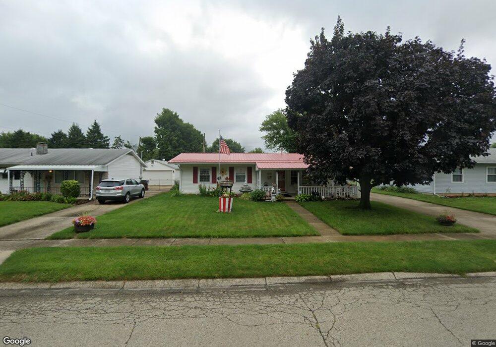
This home is located at 95 Robert Ln, Xenia, OH 45385 and is currently estimated at $200,209, approximately $120 per square foot. 95 Robert Ln is a home located in Greene County with nearby schools including Xenia High School, Summit Academy Community School for Alternative Learners - Xenia, and Legacy Christian Academy.
Ownership History
Date
Name
Owned For
Owner Type
Purchase Details
Closed on
Sep 8, 2009
Sold by
Brown Viola Nmi and Keeton Viola Nmi
Bought by
Brown Viola Nmi and Brown Courtney
Current Estimated Value
Purchase Details
Closed on
Mar 28, 1990
Bought by
Brown Viola and Brown Brown
Create a Home Valuation Report for This Property
The Home Valuation Report is an in-depth analysis detailing your home's value as well as a comparison with similar homes in the area
Home Values in the Area
Average Home Value in this Area
Purchase History
| Date | Buyer | Sale Price | Title Company |
|---|---|---|---|
| Brown Viola Nmi | -- | Attorney | |
| Brown Viola | $49,900 | -- |
Source: Public Records
Tax History
| Year | Tax Paid | Tax Assessment Tax Assessment Total Assessment is a certain percentage of the fair market value that is determined by local assessors to be the total taxable value of land and additions on the property. | Land | Improvement |
|---|---|---|---|---|
| 2025 | $2,052 | $58,390 | $10,250 | $48,140 |
| 2024 | $2,052 | $58,390 | $10,250 | $48,140 |
| 2023 | $2,026 | $58,390 | $10,250 | $48,140 |
| 2022 | $1,614 | $41,750 | $7,320 | $34,430 |
| 2021 | $1,636 | $41,750 | $7,320 | $34,430 |
| 2020 | $1,565 | $41,750 | $7,320 | $34,430 |
| 2019 | $1,123 | $31,030 | $5,100 | $25,930 |
| 2018 | $1,127 | $31,030 | $5,100 | $25,930 |
| 2017 | $1,023 | $31,030 | $5,100 | $25,930 |
| 2016 | $1,023 | $28,610 | $5,100 | $23,510 |
| 2015 | $1,026 | $28,610 | $5,100 | $23,510 |
| 2014 | $491 | $28,610 | $5,100 | $23,510 |
Source: Public Records
Map
Nearby Homes
- 212 Robert Ln
- 1351 Omard Dr
- 1529 Bowman Dr
- 1173 Stewart Ave
- 1330 Kylemore Dr
- 1408 W 2nd St
- 1030 Stewart Ave
- 1577 W 2nd St
- 984 Emmett Dr
- 883 Omard Dr
- 779 Buckskin Trail
- 1540 Crockett Ct
- 1182 Bellbrook Ave
- 1715 Sioux Dr
- 425 Elm St
- 401 Walnut St
- 453 Walnut St
- 511 Center St
- 412 N King St
- 2015 Pennsylvania Dr
Your Personal Tour Guide
Ask me questions while you tour the home.