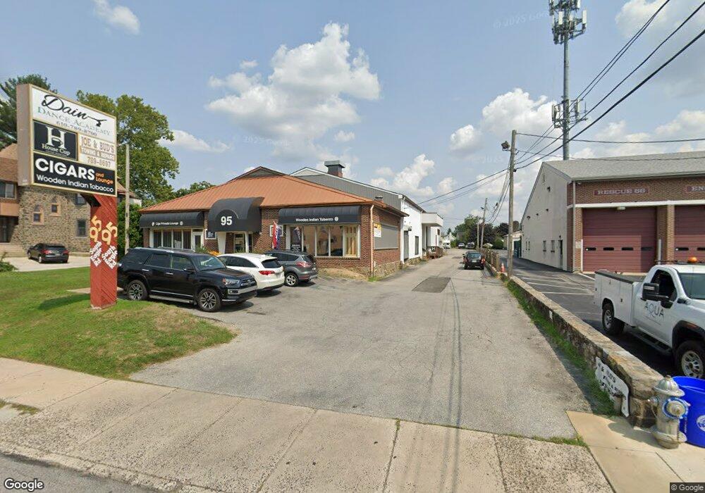
95 S Eagle Rd Havertown, PA 19083
Estimated Value: $2,883,072
--
Bed
--
Bath
10,300
Sq Ft
$280/Sq Ft
Est. Value
About This Home
This home is located at 95 S Eagle Rd, Havertown, PA 19083 and is currently estimated at $2,883,072, approximately $279 per square foot. 95 S Eagle Rd is a home located in Delaware County with nearby schools including Manoa Elementary School, Haverford Middle School, and Haverford Senior High School.
Ownership History
Date
Name
Owned For
Owner Type
Purchase Details
Closed on
Jun 16, 2019
Sold by
Cohen Sander H
Bought by
South Eagle Realty Llc
Current Estimated Value
Home Financials for this Owner
Home Financials are based on the most recent Mortgage that was taken out on this home.
Original Mortgage
$1,341,250
Interest Rate
4%
Mortgage Type
Future Advance Clause Open End Mortgage
Purchase Details
Closed on
Jun 22, 1987
Sold by
Cohen
Bought by
Cohen Sander H Trustee
Create a Home Valuation Report for This Property
The Home Valuation Report is an in-depth analysis detailing your home's value as well as a comparison with similar homes in the area
Home Values in the Area
Average Home Value in this Area
Purchase History
| Date | Buyer | Sale Price | Title Company |
|---|---|---|---|
| South Eagle Realty Llc | $1,775,000 | Commonwealth Land Ttl Ins Co | |
| Cohen Sander H Trustee | -- | -- |
Source: Public Records
Mortgage History
| Date | Status | Borrower | Loan Amount |
|---|---|---|---|
| Closed | South Eagle Realty Llc | $1,341,250 |
Source: Public Records
Tax History Compared to Growth
Tax History
| Year | Tax Paid | Tax Assessment Tax Assessment Total Assessment is a certain percentage of the fair market value that is determined by local assessors to be the total taxable value of land and additions on the property. | Land | Improvement |
|---|---|---|---|---|
| 2025 | $19,541 | $760,000 | $146,210 | $613,790 |
| 2024 | $19,541 | $760,000 | $146,210 | $613,790 |
| 2023 | $18,986 | $760,000 | $146,210 | $613,790 |
| 2022 | $18,543 | $760,000 | $146,210 | $613,790 |
| 2021 | $30,208 | $760,000 | $146,210 | $613,790 |
| 2020 | $19,892 | $427,980 | $219,480 | $208,500 |
| 2019 | $19,525 | $427,980 | $219,480 | $208,500 |
| 2018 | $19,190 | $427,980 | $0 | $0 |
| 2017 | $18,784 | $427,980 | $0 | $0 |
| 2016 | $2,349 | $427,980 | $0 | $0 |
| 2015 | $2,397 | $427,980 | $0 | $0 |
| 2014 | $2,349 | $427,980 | $0 | $0 |
Source: Public Records
Map
Nearby Homes
- 39 Columbus Ave
- 162 S Eagle Rd
- 12 Claremont Blvd
- 14 Claremont Blvd
- 1950 W Chester Pike
- 10 Claremont Blvd
- 601 S Eagle Rd
- 112 Walnut Hill Ln
- 1013 Bon Air Rd
- 635 Grand Ave
- 220 Glendale Rd
- 42 Colonial Dr
- 119 Wilson Ave
- 103 Shelbourne Rd
- 213 N Ormond Ave
- 168 Upland Rd
- 52 Woodbine Rd
- 504 N Manoa Rd
- 334 Francis Dr
- 11 Woodbine Rd
- 123 S Eagle Rd
- 83 S Eagle Rd
- 100 S Eagle Rd
- 125 S Eagle Rd
- 226 Stanley Ave
- 127 S Eagle Rd
- 228 Stanley Ave
- 224 Stanley Ave
- 104 S Eagle Rd
- 222 Stanley Ave
- 220 Stanley Ave
- 129 S Eagle Rd
- 218 Stanley Ave
- 57 S Eagle Rd
- 216 Stanley Ave
- 131 S Eagle Rd
- 126 S Eagle Rd
- 214 Stanley Ave
- 212 Stanley Ave
- 133 S Eagle Rd