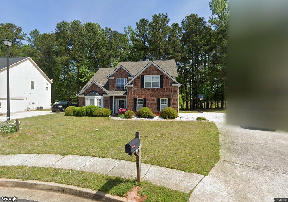
95 S Links Dr Covington, GA 30014
Estimated Value: $335,000 - $430,000
Studio
2
Baths
2,533
Sq Ft
$150/Sq Ft
Est. Value
About This Home
This home is located at 95 S Links Dr, Covington, GA 30014 and is currently estimated at $379,874, approximately $149 per square foot. 95 S Links Dr is a home located in Newton County with nearby schools including East Newton Elementary School, Cousins Middle School, and Eastside High School.
Ownership History
Date
Name
Owned For
Owner Type
Purchase Details
Closed on
Aug 16, 2022
Sold by
Laundry Linden
Bought by
Gordon Pauline Esther and Gordon Rudolph Antonio
Current Estimated Value
Purchase Details
Closed on
Aug 30, 2019
Sold by
Mitchell William L
Bought by
Laundry Linden
Home Financials for this Owner
Home Financials are based on the most recent Mortgage that was taken out on this home.
Original Mortgage
$202,350
Interest Rate
3.7%
Purchase Details
Closed on
Dec 23, 2002
Sold by
Mitchell William L
Bought by
Mitchell William L and Mitchell Brenda J
Home Financials for this Owner
Home Financials are based on the most recent Mortgage that was taken out on this home.
Original Mortgage
$159,800
Interest Rate
5.99%
Mortgage Type
New Conventional
Create a Home Valuation Report for This Property
The Home Valuation Report is an in-depth analysis detailing your home's value as well as a comparison with similar homes in the area
Home Values in the Area
Average Home Value in this Area
Purchase History
| Date | Buyer | Sale Price | Title Company |
|---|---|---|---|
| Gordon Pauline Esther | -- | -- | |
| Laundry Linden | $213,000 | -- | |
| Mitchell William L | -- | -- | |
| Mitchell William L | $214,800 | -- |
Source: Public Records
Mortgage History
| Date | Status | Borrower | Loan Amount |
|---|---|---|---|
| Previous Owner | Laundry Linden | $202,350 | |
| Previous Owner | Mitchell William L | $159,800 |
Source: Public Records
Tax History
| Year | Tax Paid | Tax Assessment Tax Assessment Total Assessment is a certain percentage of the fair market value that is determined by local assessors to be the total taxable value of land and additions on the property. | Land | Improvement |
|---|---|---|---|---|
| 2025 | $3,788 | $159,480 | $22,400 | $137,080 |
| 2024 | $3,546 | $141,280 | $22,400 | $118,880 |
| 2023 | $3,905 | $145,360 | $13,200 | $132,160 |
| 2022 | $3,176 | $118,520 | $13,200 | $105,320 |
| 2021 | $3,296 | $106,520 | $13,200 | $93,320 |
| 2020 | $3,262 | $96,040 | $13,200 | $82,840 |
| 2019 | $3,111 | $94,080 | $13,200 | $80,880 |
| 2018 | $2,984 | $89,800 | $13,200 | $76,600 |
| 2017 | $2,409 | $73,040 | $13,200 | $59,840 |
| 2016 | $2,025 | $61,840 | $10,000 | $51,840 |
| 2015 | $2,004 | $60,440 | $10,000 | $50,440 |
| 2014 | $1,826 | $55,360 | $0 | $0 |
Source: Public Records
Map
Nearby Homes
- 130 S Links Dr
- 85 Bellerive Ln SE
- 7713 Fawn Cir Unit 51
- 7703 Fawn Cir
- 10155 Malcolm Dr
- 10184 Malcolm Dr
- 10110 Malcolm Ct
- 7762 Fawn Cir
- 8 Jackson Rd
- 8193 Monticello St
- 13268 Tolstoy Ln
- 399 River Walk Farm Unit LOT 12
- 399 River Walk Farm
- 330 River Walk Farm Unit LOT 75
- 323 River Walk Farm
- 338 River Walk Farm
- 344 River Walk Farm
- 344 River Walk Farm Unit LOT 73
- 370 Granary Walk
- 9187 Plantation Cir
- 85 S Links Dr Unit 7
- 85 S Links Dr
- 105 S Links Dr
- 115 S Links Dr
- 75 S Links Dr
- 65 S Links Dr
- 125 S Links Dr
- S S Links Dr
- 135 S Links Dr
- 55 S Links Dr
- 100 S Links Dr
- 90 S Links Dr
- 25 S Links Dr
- 45 S Links Dr
- 110 S Links Dr
- 80 S Links Dr
- 50 Bellerive Ln SE
- 50 Bellerive Ln Unit 5
- 50 Bellerive Ln
- 60 Bellerive Ln
Your Personal Tour Guide
Ask me questions while you tour the home.