95 Saint Andrews Dr Sapphire, NC 28774
Sapphire NeighborhoodEstimated Value: $854,254 - $1,137,000
3
Beds
3
Baths
2,434
Sq Ft
$393/Sq Ft
Est. Value
About This Home
This home is located at 95 Saint Andrews Dr, Sapphire, NC 28774 and is currently estimated at $956,314, approximately $392 per square foot. 95 Saint Andrews Dr is a home located in Jackson County with nearby schools including Blue Ridge School and Smoky Mountain High School.
Ownership History
Date
Name
Owned For
Owner Type
Purchase Details
Closed on
May 24, 2018
Sold by
Vonthron James C and Dalbora-Vonthron Ann
Bought by
Ann D Vonthron Ret
Current Estimated Value
Purchase Details
Closed on
Jan 30, 2017
Sold by
Albora Noretta Cuesta D
Bought by
Vonthron James Carl and Von Thron Ann D Albora
Purchase Details
Closed on
Oct 10, 2006
Sold by
Albora John V D and Albora Noretta C D
Bought by
Albora Noretta Cuesta D and Noretta Cuesta D Albora Trust
Purchase Details
Closed on
Jun 27, 2005
Sold by
Dalbora John V and Dalbora Noretta C
Bought by
Dalbora John and John V Dalbora Jr Revocable Trust
Create a Home Valuation Report for This Property
The Home Valuation Report is an in-depth analysis detailing your home's value as well as a comparison with similar homes in the area
Home Values in the Area
Average Home Value in this Area
Purchase History
| Date | Buyer | Sale Price | Title Company |
|---|---|---|---|
| Ann D Vonthron Ret | -- | -- | |
| Vonthron James Carl | -- | None Available | |
| Albora Noretta Cuesta D | -- | -- | |
| Dalbora John | -- | -- |
Source: Public Records
Tax History Compared to Growth
Tax History
| Year | Tax Paid | Tax Assessment Tax Assessment Total Assessment is a certain percentage of the fair market value that is determined by local assessors to be the total taxable value of land and additions on the property. | Land | Improvement |
|---|---|---|---|---|
| 2025 | $3,473 | $913,842 | $75,000 | $838,842 |
| 2024 | $1,938 | $510,030 | $75,000 | $435,030 |
| 2023 | $2,213 | $510,030 | $75,000 | $435,030 |
| 2022 | $2,213 | $510,030 | $75,000 | $435,030 |
| 2021 | $1,938 | $510,030 | $75,000 | $435,030 |
| 2020 | $1,866 | $441,760 | $75,000 | $366,760 |
| 2019 | $1,866 | $441,760 | $75,000 | $366,760 |
| 2018 | $1,866 | $441,760 | $75,000 | $366,760 |
| 2017 | $1,821 | $441,760 | $75,000 | $366,760 |
| 2015 | $1,994 | $441,760 | $75,000 | $366,760 |
| 2011 | -- | $640,820 | $80,000 | $560,820 |
Source: Public Records
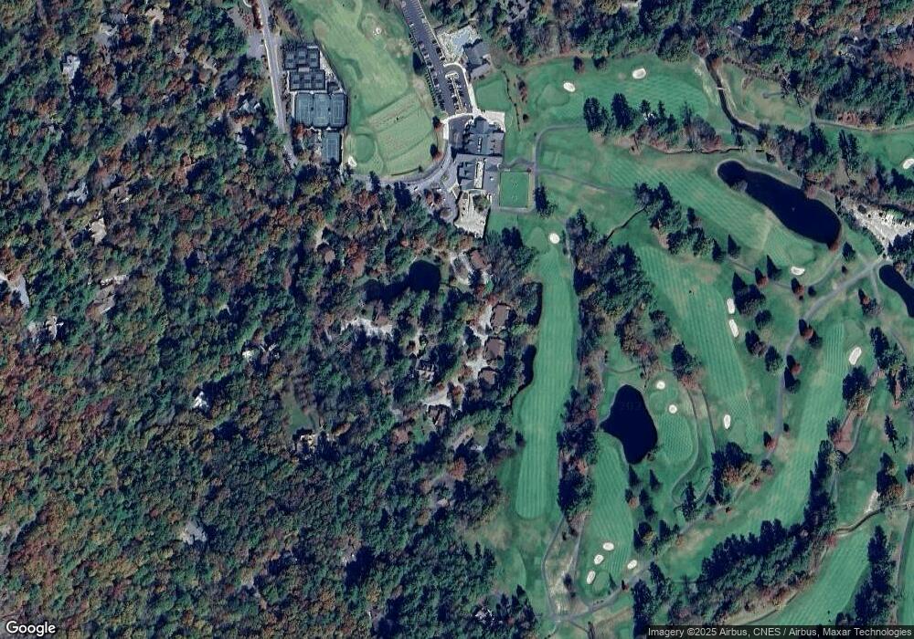
Map
Nearby Homes
- 9 Old Prestwick Dr
- 61 Carnoustie Dr
- 18 Country Club Estates Dr
- 325 Country Club Estates Dr
- 3 Big Granite Trail
- Lot 23 Rock Mountain Rd
- Lot 25 Rock Mountain Rd
- 1 Judgement Way
- 557 Country Club Estate
- 557 Country Club Estates Dr
- 63 Indian Summer Ln Unit A
- 158 River Run Unit 1852
- 1331 Cherokee Trail
- 343 Ledgeview Rd
- 176 Dry Creek Trail
- 327 Golf View Rd
- 212 Ivorybill Way
- 435 Overlook Rd Unit 4-1C
- 407 Overlook Rd Unit 3C
- 323-12 Overlook Rd Unit 12
- 69 Old Prestwick Dr
- 108 Saint Andrews Dr
- 108 Saint Andrews Dr Unit 2
- 110 Carnoustie Dr
- 118 Saint Andrews Dr
- 41 Saint Andrews Dr
- 80 Saint Andrews Dr
- 0 Saint Andrews Dr
- 43 Old Prestwick Dr
- 64 Saint Andrews Dr
- 64 Saint Andrews Dr Unit 5
- 5 Golf View Rd Unit 5A
- 46 Old Prestwick Dr
- 68 Carnoustie Dr
- 64 St Andrews Dr Unit 5
- 64 St Andrews Dr
- 52 St Andrews
- 56 Carnoustie Dr
- 52 Saint Andrews Dr Unit 7
- 52 Saint Andrews Dr