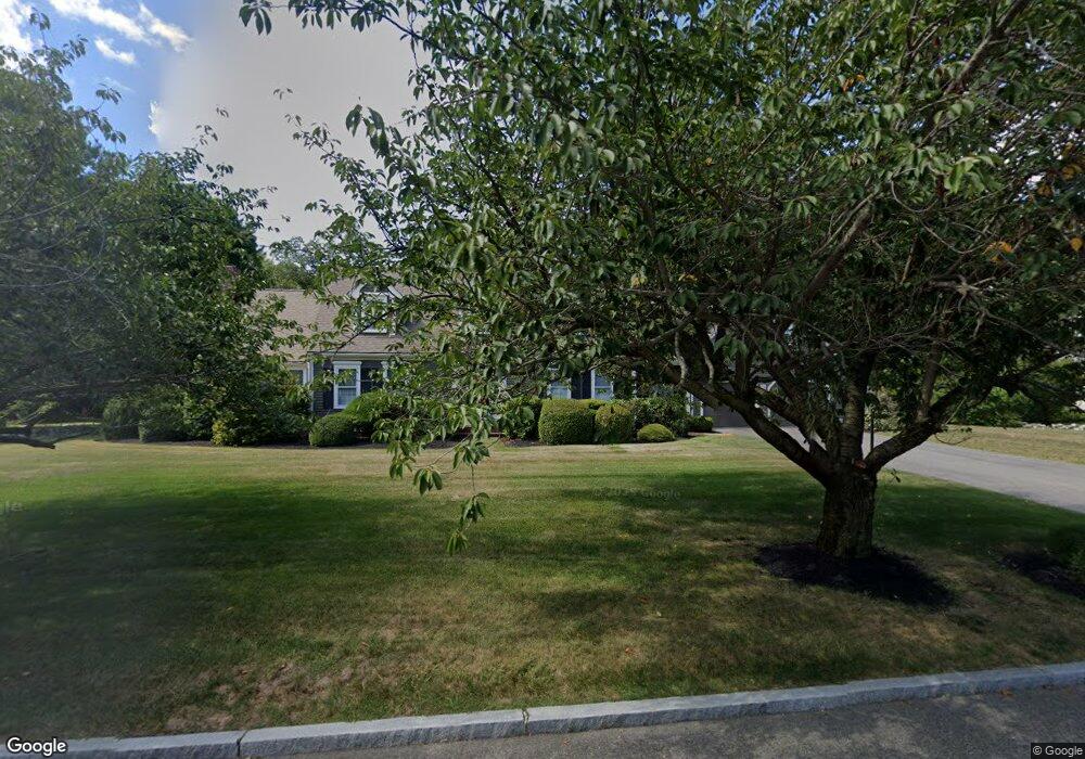
95 Setterland Farm Rd Hanover, MA 02339
Estimated Value: $1,039,000 - $1,384,000
3
Beds
4
Baths
3,632
Sq Ft
$344/Sq Ft
Est. Value
About This Home
This home is located at 95 Setterland Farm Rd, Hanover, MA 02339 and is currently estimated at $1,248,016, approximately $343 per square foot. 95 Setterland Farm Rd is a home located in Plymouth County with nearby schools including Hanover High School, South Shore Charter Public School, and Norwell KinderCare.
Ownership History
Date
Name
Owned For
Owner Type
Purchase Details
Closed on
Nov 17, 2004
Sold by
Valair Michael J and Sheffer-Valair Carole A
Bought by
Sheffer-Valair Carole A
Current Estimated Value
Home Financials for this Owner
Home Financials are based on the most recent Mortgage that was taken out on this home.
Original Mortgage
$288,000
Interest Rate
5.8%
Mortgage Type
Purchase Money Mortgage
Purchase Details
Closed on
Dec 28, 1992
Sold by
Sunrise Rt and Bennett Patricia A
Bought by
Valair Michael J and Valair Carole S
Create a Home Valuation Report for This Property
The Home Valuation Report is an in-depth analysis detailing your home's value as well as a comparison with similar homes in the area
Home Values in the Area
Average Home Value in this Area
Purchase History
| Date | Buyer | Sale Price | Title Company |
|---|---|---|---|
| Sheffer-Valair Carole A | -- | -- | |
| Valair Michael J | $265,000 | -- |
Source: Public Records
Mortgage History
| Date | Status | Borrower | Loan Amount |
|---|---|---|---|
| Open | Valair Michael J | $200,000 | |
| Closed | Valair Michael J | $25,000 | |
| Closed | Valair Michael J | $288,000 |
Source: Public Records
Tax History Compared to Growth
Tax History
| Year | Tax Paid | Tax Assessment Tax Assessment Total Assessment is a certain percentage of the fair market value that is determined by local assessors to be the total taxable value of land and additions on the property. | Land | Improvement |
|---|---|---|---|---|
| 2025 | $12,507 | $1,012,700 | $337,100 | $675,600 |
| 2024 | $12,041 | $937,800 | $337,100 | $600,700 |
| 2023 | $12,276 | $910,000 | $306,800 | $603,200 |
| 2022 | $12,383 | $812,000 | $268,600 | $543,400 |
| 2021 | $12,553 | $768,700 | $244,400 | $524,300 |
| 2020 | $12,387 | $759,500 | $244,400 | $515,100 |
| 2019 | $11,520 | $702,000 | $255,900 | $446,100 |
| 2018 | $11,469 | $704,500 | $267,500 | $437,000 |
| 2017 | $10,555 | $638,900 | $259,700 | $379,200 |
| 2016 | $10,527 | $624,400 | $236,200 | $388,200 |
| 2015 | $9,793 | $606,400 | $236,200 | $370,200 |
Source: Public Records
Map
Nearby Homes
- 118 Bates Way
- 70 Dillingham Way
- 375 Webster St
- 1239 Main St
- 216 Whiting St
- 276 Woodland Dr
- 53 Chestnut St
- 80 Coolidge Rd
- 62 Larchmont Ln
- 120 Deerfield Ln
- 141 Deerfield Ln
- 8 Old Farm Rd
- 7 Assinippi Ave Unit 216
- 7 Assinippi Ave Unit 306
- 116 Spring Meadow Ln
- 436 E Water St
- 214 Washington St Unit 24
- 214 Washington St Unit 28
- 354 Webster St
- 265 Silver St
- 83 Setterland Farm Rd
- 113 Setterland Farm Rd
- 94 Setterland Farm Rd
- 104 Setterland Farm Rd
- 80 Setterland Farm Rd
- 69 Setterland Farm Rd
- 77 Paul Rd
- 130 Setterland Farm Rd
- 121 Setterland Farm Rd
- 65 Paul Rd
- 132 Setterland Farm Rd
- 49 Paul Rd
- 49 Paul Rd Unit 1
- 68 Setterland Farm Rd
- 57 Setterland Farm Rd
- 35 Paul Rd
- 56 Setterland Farm Rd
- 131 Setterland Farm Rd
- 34 Country Rd
- 76 Paul Rd