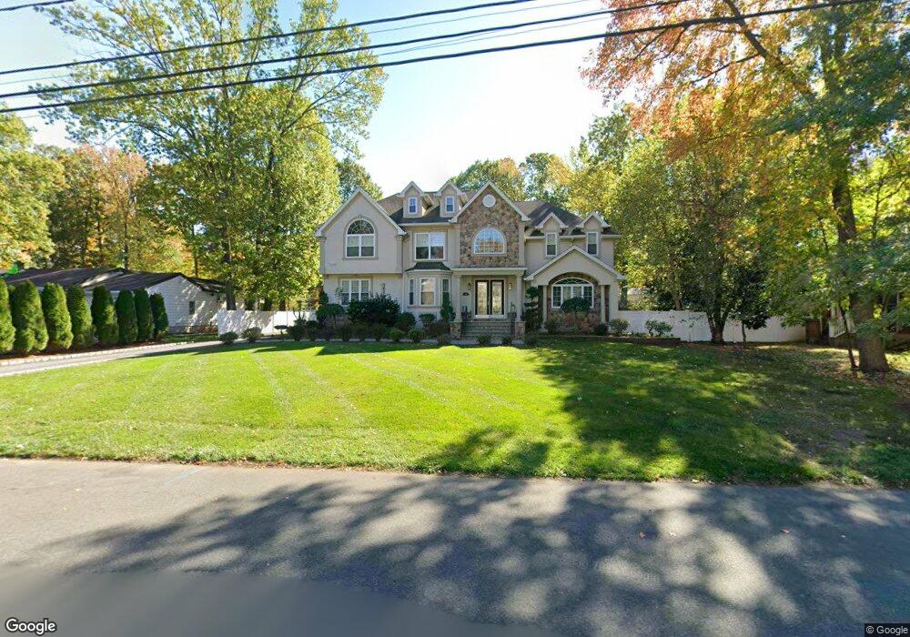
95 Sherman Blvd Edison, NJ 08820
Estimated Value: $893,000 - $1,400,000
--
Bed
--
Bath
4,272
Sq Ft
$277/Sq Ft
Est. Value
About This Home
This home is located at 95 Sherman Blvd, Edison, NJ 08820 and is currently estimated at $1,183,410, approximately $277 per square foot. 95 Sherman Blvd is a home located in Middlesex County with nearby schools including James Madison Primary School, James Madison Intermediate School, and John Adams Middle School.
Ownership History
Date
Name
Owned For
Owner Type
Purchase Details
Closed on
Mar 14, 2007
Sold by
Rac Mgmt Corp
Bought by
Ruparel Bharat and Ruparel Uma
Current Estimated Value
Home Financials for this Owner
Home Financials are based on the most recent Mortgage that was taken out on this home.
Original Mortgage
$600,000
Outstanding Balance
$364,561
Interest Rate
6.33%
Mortgage Type
New Conventional
Estimated Equity
$818,849
Purchase Details
Closed on
Oct 28, 2004
Sold by
Muscarella Jaynie
Bought by
Theofanides Richard
Home Financials for this Owner
Home Financials are based on the most recent Mortgage that was taken out on this home.
Original Mortgage
$463,100
Interest Rate
5.75%
Create a Home Valuation Report for This Property
The Home Valuation Report is an in-depth analysis detailing your home's value as well as a comparison with similar homes in the area
Home Values in the Area
Average Home Value in this Area
Purchase History
| Date | Buyer | Sale Price | Title Company |
|---|---|---|---|
| Ruparel Bharat | $1,300,000 | -- | |
| Theofanides Richard | $578,900 | -- |
Source: Public Records
Mortgage History
| Date | Status | Borrower | Loan Amount |
|---|---|---|---|
| Open | Ruparel Bharat | $600,000 | |
| Previous Owner | Theofanides Richard | $463,100 |
Source: Public Records
Tax History Compared to Growth
Tax History
| Year | Tax Paid | Tax Assessment Tax Assessment Total Assessment is a certain percentage of the fair market value that is determined by local assessors to be the total taxable value of land and additions on the property. | Land | Improvement |
|---|---|---|---|---|
| 2025 | $24,360 | $409,200 | $110,000 | $299,200 |
| 2024 | $24,229 | $409,200 | $110,000 | $299,200 |
| 2023 | $24,229 | $409,200 | $110,000 | $299,200 |
| 2022 | $24,237 | $409,200 | $110,000 | $299,200 |
| 2021 | $24,155 | $409,200 | $110,000 | $299,200 |
| 2020 | $23,934 | $409,200 | $110,000 | $299,200 |
| 2019 | $23,030 | $409,200 | $110,000 | $299,200 |
| 2018 | $22,473 | $409,200 | $110,000 | $299,200 |
| 2017 | $21,999 | $409,200 | $110,000 | $299,200 |
| 2016 | $21,589 | $409,200 | $110,000 | $299,200 |
| 2015 | $20,763 | $409,200 | $110,000 | $299,200 |
| 2014 | $20,157 | $409,200 | $110,000 | $299,200 |
Source: Public Records
Map
Nearby Homes
- 93 Sherman Blvd
- 97 Sherman Blvd
- 45 Livingston Ave
- 49 Livingston Ave
- 91 Sherman Blvd
- 99 Sherman Blvd
- 43 Livingston Ave
- 51 Livingston Ave
- 94 Sherman Blvd
- 92 Sherman Blvd
- 96 Sherman Blvd
- 89 Sherman Blvd
- 101 Sherman Blvd
- 98 Sherman Blvd
- 41 Livingston Ave
- 90 Sherman Blvd
- 53 Livingston Ave
- 44 Livingston Ave
- 100 Sherman Blvd
- 87 Sherman Blvd