95 Spruce Rd Middleton, NH 03887
Estimated Value: $367,071 - $391,000
About This Home
This home is located at 95 Spruce Rd, Middleton, NH 03887 and is currently estimated at $377,018, approximately $261 per square foot. 95 Spruce Rd is a home located in Strafford County with nearby schools including Valley View Community School, Henry Wilson Memorial School, and Farmington Senior High School.
Ownership History
We collect this data history from publicly available records. To have your information removed, we recommend requesting removal directly through your county’s website.
Purchase Details
Home Financials for this Owner
Home Financials are based on the most recent Mortgage that was taken out on this home.Home Values in the Area
Average Home Value in this Area
Purchase History
We collect this data history from publicly available records. To have your information removed, we recommend requesting removal directly through your county’s website.
| Date | Buyer | Sale Price | Title Company |
|---|---|---|---|
| $200,000 | -- |
Mortgage History
We collect this data history from publicly available records. To have your information removed, we recommend requesting removal directly through your county’s website.
| Date | Status | Borrower | Loan Amount |
|---|---|---|---|
| Open | $200,000 |
Tax History
We collect this data history from publicly available records. To have your information removed, we recommend requesting removal directly through your county’s website.
| Year | Tax Paid | Tax Assessment Tax Assessment Total Assessment is a certain percentage of the fair market value that is determined by local assessors to be the total taxable value of land and additions on the property. | Land | Improvement |
|---|---|---|---|---|
| 2025 | $4,988 | $315,900 | $159,500 | $156,400 |
| 2024 | $4,909 | $315,900 | $159,500 | $156,400 |
| 2023 | $4,751 | $315,900 | $159,500 | $156,400 |
| 2022 | $4,566 | $175,000 | $59,700 | $115,300 |
| 2021 | $4,806 | $175,000 | $59,700 | $115,300 |
| 2020 | $4,947 | $175,000 | $59,700 | $115,300 |
| 2019 | $4,599 | $175,000 | $59,700 | $115,300 |
| 2018 | $4,898 | $175,000 | $59,700 | $115,300 |
| 2017 | $4,304 | $159,700 | $58,000 | $101,700 |
| 2016 | $5,775 | $159,700 | $58,000 | $101,700 |
| 2015 | $4,575 | $159,700 | $58,000 | $101,700 |
| 2014 | $4,024 | $159,800 | $58,000 | $101,800 |
| 2013 | $3,771 | $159,800 | $58,000 | $101,800 |
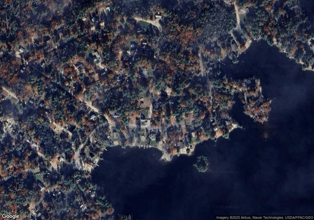
Map
- 11 Spruce Rd
- 288 Pinkham Rd
- Lot 330 Nicola Rd
- 179 Nicola Rd
- 130 Nicola Rd
- 44 Shore Dr Unit 100
- 0 Pinkham Rd Unit Map 8 Lot 6-4
- 770 Route 153
- 57 Pinkham Rd
- 63 Partridge Dr
- 378 Silver St
- 10 New Durham Rd
- 277 Kings Hwy
- 5 Maggie Ln
- 164 Lot 18-3 Mason Rd
- 164 Lot 18-1 Mason Rd
- 164 Lot 18-2 Mason Rd
- TBD Mason Rd
- 374 Hare Rd
- 15 Adams Way
- 113 Lake Shore Dr
- 32 Birch Rd
- 105 Lakeshore Dr
- 38 Birch Rd
- 101 Lakeshore Dr
- 110 Lakeshore Dr
- 227 Sunrise Dr
- 112 Lakeshore Dr
- 102 Lakeshore Dr
- 129 Lakeshore Dr
- 18 Birch Rd
- 100 Lakeshore Dr
- 118 Lakeshore Dr
- 41 Birch Rd
- 120 Lakeshore Dr
- 93 Lakeshore Dr
- 133 Lakeshore Dr
- 80 Spruce Rd
- 122 Lakeshore Dr
- 128 Lake Shore Dr
Ask me questions while you tour the home.