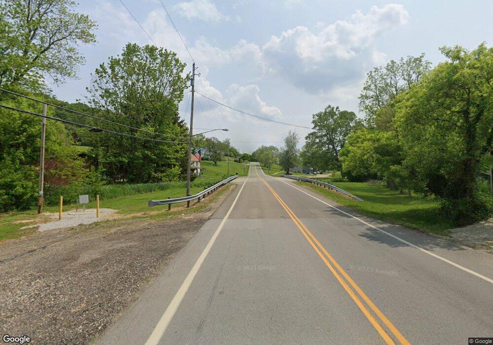
95 Sr Butler, OH 44822
Estimated Value: $83,000 - $234,000
1
Bed
1
Bath
1,800
Sq Ft
$87/Sq Ft
Est. Value
About This Home
This home is located at 95 Sr, Butler, OH 44822 and is currently estimated at $157,333, approximately $87 per square foot. 95 Sr is a home with nearby schools including Clear Fork High School.
Ownership History
Date
Name
Owned For
Owner Type
Purchase Details
Closed on
May 19, 2017
Sold by
Titlow Tylor T and Titlow Brandon M
Bought by
Carr Chad E
Current Estimated Value
Home Financials for this Owner
Home Financials are based on the most recent Mortgage that was taken out on this home.
Original Mortgage
$31,200
Outstanding Balance
$16,228
Interest Rate
4.08%
Mortgage Type
New Conventional
Estimated Equity
$141,105
Purchase Details
Closed on
Nov 22, 2016
Sold by
Estate Of Timothy D Titlow
Bought by
Titlow Tyler T and Titlow Brandon M
Purchase Details
Closed on
Jun 3, 1991
Sold by
Titlow Timothy D
Bought by
Titlow Timothy D
Purchase Details
Closed on
Jul 1, 1987
Create a Home Valuation Report for This Property
The Home Valuation Report is an in-depth analysis detailing your home's value as well as a comparison with similar homes in the area
Home Values in the Area
Average Home Value in this Area
Purchase History
| Date | Buyer | Sale Price | Title Company |
|---|---|---|---|
| Carr Chad E | $40,000 | Chicago Title | |
| Titlow Tyler T | -- | Attorney | |
| Titlow Timothy D | -- | -- | |
| -- | $15,800 | -- |
Source: Public Records
Mortgage History
| Date | Status | Borrower | Loan Amount |
|---|---|---|---|
| Open | Carr Chad E | $31,200 |
Source: Public Records
Tax History Compared to Growth
Tax History
| Year | Tax Paid | Tax Assessment Tax Assessment Total Assessment is a certain percentage of the fair market value that is determined by local assessors to be the total taxable value of land and additions on the property. | Land | Improvement |
|---|---|---|---|---|
| 2024 | $978 | $26,110 | $10,720 | $15,390 |
| 2023 | $978 | $26,110 | $10,720 | $15,390 |
| 2022 | $467 | $11,380 | $10,170 | $1,210 |
| 2021 | $506 | $11,380 | $10,170 | $1,210 |
| 2020 | $67 | $11,380 | $10,170 | $1,210 |
| 2019 | $70 | $9,830 | $8,620 | $1,210 |
| 2018 | $70 | $9,830 | $8,620 | $1,210 |
| 2017 | $69 | $9,830 | $8,620 | $1,210 |
| 2016 | $76 | $9,690 | $8,310 | $1,380 |
| 2015 | $76 | $9,690 | $8,310 | $1,380 |
| 2014 | $75 | $9,690 | $8,310 | $1,380 |
| 2012 | $36 | $9,690 | $8,310 | $1,380 |
Source: Public Records
Map
Nearby Homes
- 3898 Ohio 97
- 128 College St
- 224 Blue Bird Dr
- 1260 Ohio 97 Unit 115
- 1259 State Route 97 E
- 5449 Hagerman Rd
- 1169 State Route 97 E
- 0 Mishey Rd
- 21625 N Liberty Rd
- 2070 Riggle Rd
- 6533 Durbin Rd
- 361 Honey Creek Rd E
- 5042 Possum Run Rd
- 4978 Bott Rd
- 6509 Ankneytown Rd
- 6902 Ankneytown Rd
- 76 Smith Rd
- 5800 Ankneytown Rd
- 70 Betty Dr
- 4169 State Route 97
- 6586 State Route 95
- 6575 State Route 95
- 6586 Ohio 95
- 6568 State Route 95
- 6761 Armstrong Rd
- 6551 State Route 95
- 6550 State Route 95
- 6596 State Route 95
- 1904 Wagner Rd
- 1874 Wagner Rd
- 1854 Wagner Rd
- 6500 State Route 95
- 6480 State Route 95
- 1834 Wagner Rd
- 1889 Wagner Rd
- 6521 State Route 95
- 1853 Wagner Rd
- 1853 Wagner Rd
- 6460 State Route 95
- 1820 Wagner Rd
