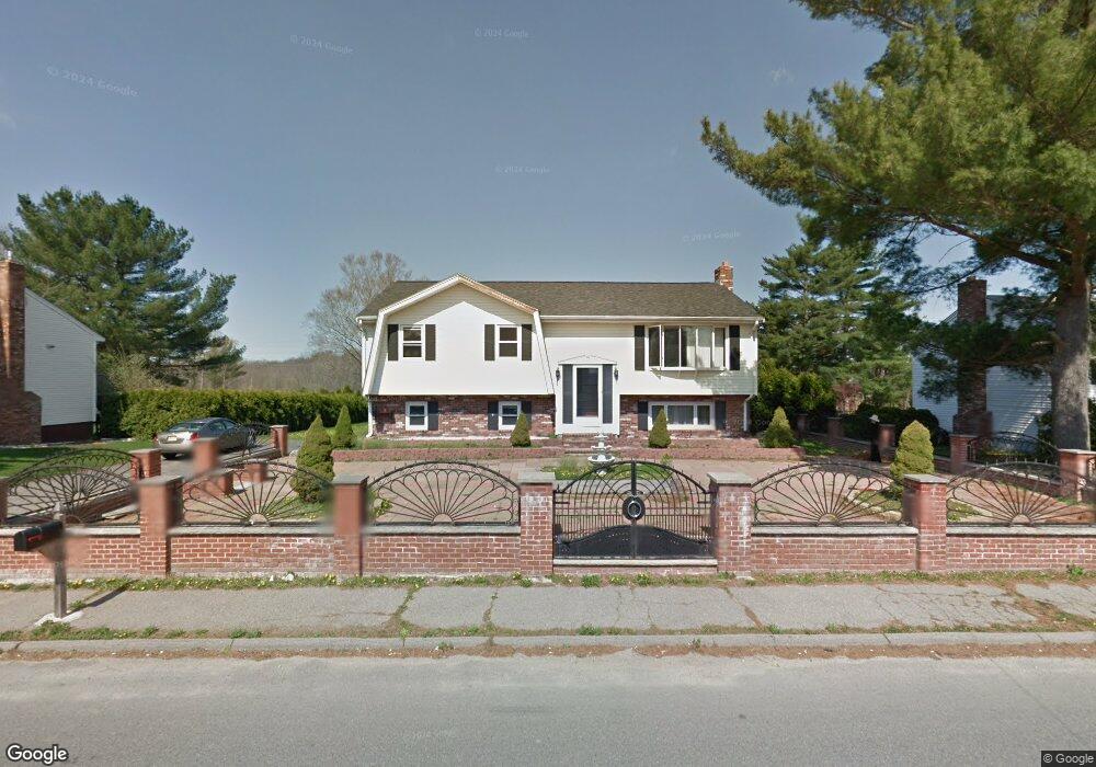
95 Steve Dr Taunton, MA 02780
Weir Village NeighborhoodEstimated Value: $599,057 - $649,000
3
Beds
2
Baths
2,081
Sq Ft
$300/Sq Ft
Est. Value
About This Home
This home is located at 95 Steve Dr, Taunton, MA 02780 and is currently estimated at $623,764, approximately $299 per square foot. 95 Steve Dr is a home located in Bristol County with nearby schools including Elizabeth Pole School, Taunton High School, and John F. Parker Middle School.
Ownership History
Date
Name
Owned For
Owner Type
Purchase Details
Closed on
Mar 15, 2002
Sold by
Amorim Jose and Amorim Alcina
Bought by
Le Chanh and Duong Nga
Current Estimated Value
Home Financials for this Owner
Home Financials are based on the most recent Mortgage that was taken out on this home.
Original Mortgage
$216,000
Outstanding Balance
$83,588
Interest Rate
7.04%
Mortgage Type
Purchase Money Mortgage
Estimated Equity
$540,176
Create a Home Valuation Report for This Property
The Home Valuation Report is an in-depth analysis detailing your home's value as well as a comparison with similar homes in the area
Home Values in the Area
Average Home Value in this Area
Purchase History
| Date | Buyer | Sale Price | Title Company |
|---|---|---|---|
| Le Chanh | $270,000 | -- |
Source: Public Records
Mortgage History
| Date | Status | Borrower | Loan Amount |
|---|---|---|---|
| Open | Le Chanh | $216,000 | |
| Previous Owner | Le Chanh | $50,000 |
Source: Public Records
Tax History
| Year | Tax Paid | Tax Assessment Tax Assessment Total Assessment is a certain percentage of the fair market value that is determined by local assessors to be the total taxable value of land and additions on the property. | Land | Improvement |
|---|---|---|---|---|
| 2025 | $5,948 | $543,700 | $126,600 | $417,100 |
| 2024 | $5,391 | $481,800 | $126,600 | $355,200 |
| 2023 | $5,413 | $449,200 | $132,400 | $316,800 |
| 2022 | $5,142 | $390,100 | $102,600 | $287,500 |
| 2021 | $3,722 | $340,100 | $93,300 | $246,800 |
| 2020 | $4,685 | $315,300 | $93,300 | $222,000 |
| 2019 | $0 | $301,800 | $93,300 | $208,500 |
| 2018 | $4,584 | $291,600 | $94,200 | $197,400 |
| 2017 | $2,767 | $273,000 | $89,300 | $183,700 |
| 2016 | $4,133 | $263,600 | $86,700 | $176,900 |
| 2015 | $4,005 | $266,800 | $88,800 | $178,000 |
| 2014 | $3,888 | $266,100 | $88,800 | $177,300 |
Source: Public Records
Map
Nearby Homes
- 11 Duffy Dr
- 29 Johnson St Unit B
- 600 County St
- 168 Hart St Unit 57
- 87 Baylies Rd
- 35 Sir Joseph Ct
- 577 County St
- 38 Alicia Dr
- 0 Hart St Unit 73515622
- 19 Poole St Unit B
- 5 Parcels Cape Highway Route 44
- 212 Carriage Ln Unit 212
- 1606 Carriage Ln Unit 1606
- 0 S Main St Unit 73443212
- 172 Dean St Unit 15
- 800 County St Unit 23
- 3 Karena Dr Unit 4-21
- 22 Ingell St
- 110 Dean St Unit 104
- 115 Forge River Pkwy
Your Personal Tour Guide
Ask me questions while you tour the home.