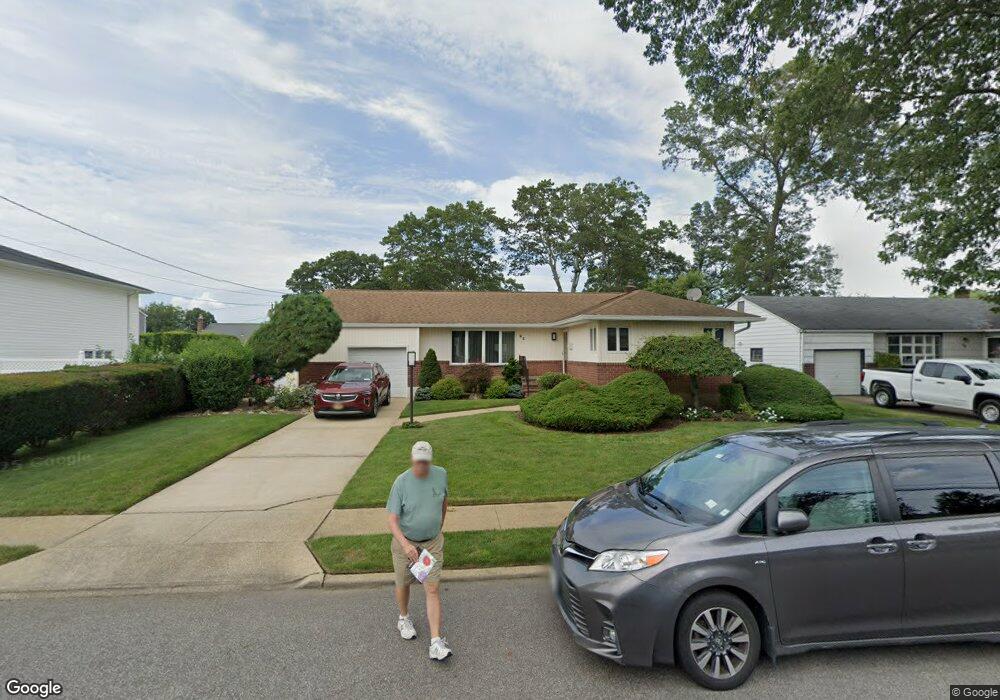
95 Toronto Ave Massapequa, NY 11758
Estimated Value: $719,000 - $734,444
3
Beds
2
Baths
1,300
Sq Ft
$559/Sq Ft
Est. Value
About This Home
This home is located at 95 Toronto Ave, Massapequa, NY 11758 and is currently estimated at $726,722, approximately $559 per square foot. 95 Toronto Ave is a home located in Nassau County with nearby schools including Charles E. Schwarting School, Plainedge Middle School, and Plainedge Senior High School.
Ownership History
Date
Name
Owned For
Owner Type
Purchase Details
Closed on
Dec 15, 2015
Sold by
Brennan Thomas J and Brennan Thomas J
Bought by
Borgeson Bruce and Borgeson Elizabeth
Current Estimated Value
Purchase Details
Closed on
Dec 11, 2015
Sold by
Brennan Thomas J and Brennan Joyce
Bought by
Brennan Thomas J and Brennan Thomas J
Purchase Details
Closed on
Jan 11, 2001
Purchase Details
Closed on
Sep 5, 1997
Purchase Details
Closed on
Jul 14, 1997
Sold by
Impellizeri John M and Impellizeri Elizabeth
Bought by
Brenna Thomas J and Brenna Joyce
Create a Home Valuation Report for This Property
The Home Valuation Report is an in-depth analysis detailing your home's value as well as a comparison with similar homes in the area
Home Values in the Area
Average Home Value in this Area
Purchase History
| Date | Buyer | Sale Price | Title Company |
|---|---|---|---|
| Borgeson Bruce | $435,000 | Ultimate Abstract Of Ny Inc | |
| Brennan Thomas J | -- | Ultimate Abstract | |
| -- | -- | -- | |
| -- | -- | -- | |
| Brenna Thomas J | $207,000 | -- |
Source: Public Records
Tax History Compared to Growth
Tax History
| Year | Tax Paid | Tax Assessment Tax Assessment Total Assessment is a certain percentage of the fair market value that is determined by local assessors to be the total taxable value of land and additions on the property. | Land | Improvement |
|---|---|---|---|---|
| 2025 | $13,613 | $438 | $228 | $210 |
| 2024 | $3,782 | $453 | $236 | $217 |
| 2023 | $13,606 | $481 | $250 | $231 |
| 2022 | $13,606 | $477 | $248 | $229 |
| 2021 | $13,118 | $478 | $249 | $229 |
| 2020 | $13,307 | $641 | $503 | $138 |
| 2019 | $13,363 | $632 | $477 | $155 |
| 2018 | $12,559 | $708 | $0 | $0 |
| 2017 | $7,610 | $708 | $534 | $174 |
| 2016 | $11,054 | $708 | $525 | $183 |
| 2015 | $3,091 | $708 | $525 | $183 |
| 2014 | $3,091 | $708 | $525 | $183 |
| 2013 | $2,859 | $720 | $534 | $186 |
Source: Public Records
Map
Nearby Homes
- 101 Toronto Ave
- 76 Hamilton Ave
- 121 Ontario Ave
- 73 Massachusetts Ave
- 598 N Suffolk Ave
- 102 Boston Ave
- 254 N Richmond Ave
- 20 Boston Ave
- 22 Commonwealth Ave
- 86 Cleveland Ave
- 558 N Hawthorne St
- 163 Massachusetts Ave
- 530 N Hawthorne St
- 530 N Oak St
- 70 Pittsburgh Ave
- 4030 Jerusalem Ave Unit 1B
- 282 N Oak St
- 203 N Manhattan Ave
- 11 Pittsburgh Ave
- 7 Crocus Dr
- 99 Toronto Ave
- 93 Toronto Ave
- 100 Hamilton Ave
- 96 Hamilton Ave
- 104 Hamilton Ave
- 91 Toronto Ave
- 96 Toronto Ave
- 102 Toronto Ave
- 94 Hamilton Ave
- 92 Toronto Ave
- 92 Toronto Ave
- 106 Toronto Ave
- 106 Toronto Ave
- 106 Toronto Ave
- 103 Toronto Ave
- 110 Hamilton Ave
- 88 Hamilton Ave
- 88 Hamilton Ave
- 90 Toronto Ave
- 103 Hamilton Ave