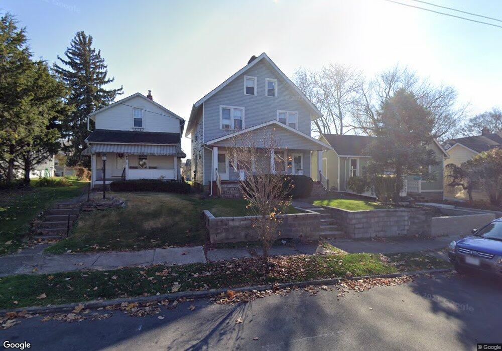
95 W Tompkins St Unit 97 Columbus, OH 43202
Old North Columbus NeighborhoodEstimated Value: $360,000 - $506,000
4
Beds
2
Baths
2,775
Sq Ft
$149/Sq Ft
Est. Value
About This Home
This home is located at 95 W Tompkins St Unit 97, Columbus, OH 43202 and is currently estimated at $414,323, approximately $149 per square foot. 95 W Tompkins St Unit 97 is a home located in Franklin County with nearby schools including Hubbard Elementary School, Dominion Middle School, and Whetstone High School.
Ownership History
Date
Name
Owned For
Owner Type
Purchase Details
Closed on
May 28, 2009
Sold by
Central Holding Corporation
Bought by
Mitchell Charles H and Mitchell Doris S
Current Estimated Value
Purchase Details
Closed on
May 27, 2009
Sold by
Mitchell Charles and Mitchell Doris
Bought by
Central Holding Corporation
Purchase Details
Closed on
May 8, 1969
Bought by
Mitchell Charles H
Create a Home Valuation Report for This Property
The Home Valuation Report is an in-depth analysis detailing your home's value as well as a comparison with similar homes in the area
Home Values in the Area
Average Home Value in this Area
Purchase History
| Date | Buyer | Sale Price | Title Company |
|---|---|---|---|
| Mitchell Charles H | -- | Attorney | |
| Central Holding Corporation | -- | Attorney | |
| Mitchell Charles H | -- | -- |
Source: Public Records
Tax History
| Year | Tax Paid | Tax Assessment Tax Assessment Total Assessment is a certain percentage of the fair market value that is determined by local assessors to be the total taxable value of land and additions on the property. | Land | Improvement |
|---|---|---|---|---|
| 2025 | $5,493 | $119,850 | $34,690 | $85,160 |
| 2024 | $5,493 | $119,850 | $34,690 | $85,160 |
| 2023 | $5,424 | $119,850 | $34,690 | $85,160 |
| 2022 | $4,185 | $78,750 | $20,090 | $58,660 |
| 2021 | $4,192 | $78,750 | $20,090 | $58,660 |
| 2020 | $4,199 | $78,750 | $20,090 | $58,660 |
| 2019 | $3,918 | $63,010 | $16,070 | $46,940 |
| 2018 | $3,801 | $63,010 | $16,070 | $46,940 |
| 2017 | $3,917 | $63,010 | $16,070 | $46,940 |
| 2016 | $4,055 | $59,680 | $14,600 | $45,080 |
| 2015 | $3,691 | $59,680 | $14,600 | $45,080 |
| 2014 | $3,700 | $59,680 | $14,600 | $45,080 |
| 2013 | $1,659 | $54,250 | $13,265 | $40,985 |
Source: Public Records
Map
Nearby Homes
- 102 W Tompkins St
- 2540 Neil Ave
- 2394 Neil Ave
- 6 E Blake Ave
- 23 E Maynard Ave
- 2683 Neil Ave Unit 685
- 109 E Arcadia Ave
- 9 E Norwich Ave Unit 15
- 53 Olentangy St
- 2458- 2458 1 2 Deming Ave
- 2478-2480 Deming Ave
- 2362 Indiana Ave
- 363 E Hudson St Unit 365
- 2395 Summit St Unit 397
- 366 Parkview Dr Unit 366
- 415 Glen Echo Cir
- 3021 N High St
- 2295 N 4th St
- 94 W Tulane Rd
- 2539 N 4th St Unit 539
- 93 W Tompkins St
- 103 W Tompkins St
- 103 W Tomkins Ave
- 105 W Tompkins St
- 87 W Tompkins St
- 109 W Tompkins St
- 109 E Tompkins St Unit 11912
- 2491 Neil Ave
- 2479 Neil Ave
- 115 W Tompkins St
- 115 E Tompkins St
- 114 W Blake Ave Unit 116
- 110 W Blake Ave
- 2465 Neil Ave
- 120 W Blake Ave
- 130 W Blake Ave
- 102 W Blake Ave
- 134 W Blake Ave Unit 136
- 2490 Neil Ave
- 90 W Tompkins St
Your Personal Tour Guide
Ask me questions while you tour the home.