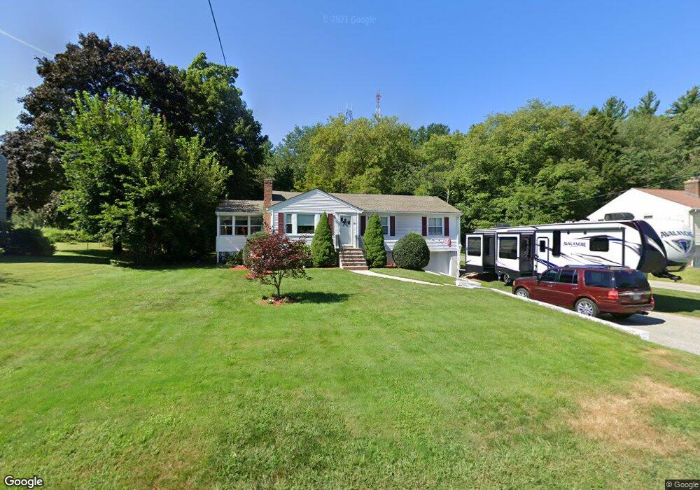
95 Waltham St Unit A Woburn, MA 01801
Shakerhill NeighborhoodEstimated Value: $721,160 - $806,000
4
Beds
1
Bath
1,158
Sq Ft
$646/Sq Ft
Est. Value
About This Home
This home is located at 95 Waltham St Unit A, Woburn, MA 01801 and is currently estimated at $748,290, approximately $646 per square foot. 95 Waltham St Unit A is a home located in Middlesex County with nearby schools including Reeves Elementary School, Daniel L. Joyce Middle School, and Woburn High School.
Create a Home Valuation Report for This Property
The Home Valuation Report is an in-depth analysis detailing your home's value as well as a comparison with similar homes in the area
Home Values in the Area
Average Home Value in this Area
Tax History Compared to Growth
Tax History
| Year | Tax Paid | Tax Assessment Tax Assessment Total Assessment is a certain percentage of the fair market value that is determined by local assessors to be the total taxable value of land and additions on the property. | Land | Improvement |
|---|---|---|---|---|
| 2025 | $5,756 | $674,000 | $373,300 | $300,700 |
| 2024 | $5,291 | $656,500 | $355,800 | $300,700 |
| 2023 | $5,144 | $591,300 | $323,400 | $267,900 |
| 2022 | $4,930 | $527,800 | $281,900 | $245,900 |
| 2021 | $4,704 | $504,200 | $268,700 | $235,500 |
| 2020 | $4,549 | $488,100 | $268,700 | $219,400 |
| 2019 | $4,295 | $452,100 | $256,100 | $196,000 |
| 2018 | $4,231 | $427,800 | $235,400 | $192,400 |
| 2017 | $4,067 | $409,200 | $224,400 | $184,800 |
| 2016 | $3,876 | $385,700 | $210,100 | $175,600 |
| 2015 | $3,724 | $366,200 | $196,600 | $169,600 |
| 2014 | $3,584 | $343,300 | $196,600 | $146,700 |
Source: Public Records
Map
Nearby Homes
- 20 Amberwood Dr
- 7 Grace Rd
- 7 Thornberry Rd
- 41 Squire Rd
- 273 Cambridge Rd Unit 202
- 269 Cambridge Rd Unit 203
- 7 Wainwright Rd Unit 118
- 9 Pond Terrace
- 19 Gershon Way Unit 1
- 19 Gershon Way
- 26 Berkshire Dr
- 21 Derby Dr Unit 21
- 14 Nassau Dr
- 212 Cambridge Rd
- 5 Azalea Rd
- 19 Cox Rd
- 500 Lexington St Unit 6
- 257 High St
- 189 High St
- 276 High St