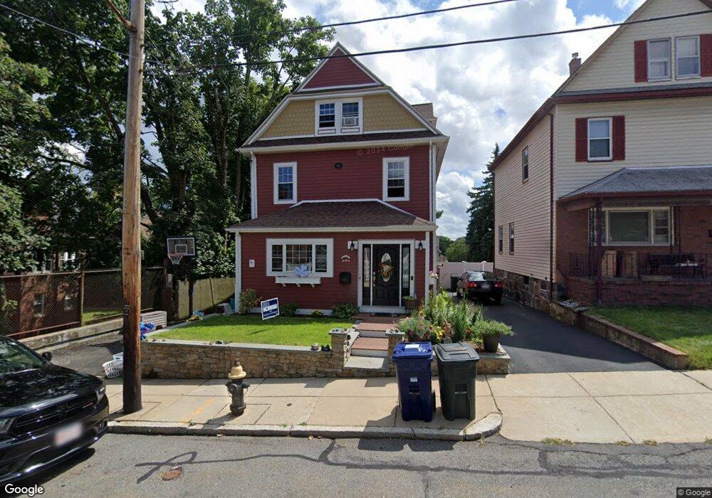
95 Westglow St Dorchester, MA 02122
Neponset-Port Norfolk NeighborhoodEstimated Value: $784,000 - $939,000
4
Beds
2
Baths
1,696
Sq Ft
$492/Sq Ft
Est. Value
About This Home
This home is located at 95 Westglow St, Dorchester, MA 02122 and is currently estimated at $835,190, approximately $492 per square foot. 95 Westglow St is a home located in Suffolk County with nearby schools including Neighborhood House Charter School and St Brendan School.
Ownership History
Date
Name
Owned For
Owner Type
Purchase Details
Closed on
Apr 18, 2008
Sold by
Kelly Edward A
Bought by
Kelly Edward A and Kelly Kathryn
Current Estimated Value
Purchase Details
Closed on
Dec 11, 2003
Sold by
Swike Philip J
Bought by
Kelly Edward A and Kelly Edward
Create a Home Valuation Report for This Property
The Home Valuation Report is an in-depth analysis detailing your home's value as well as a comparison with similar homes in the area
Home Values in the Area
Average Home Value in this Area
Purchase History
| Date | Buyer | Sale Price | Title Company |
|---|---|---|---|
| Kelly Edward A | -- | -- | |
| Kelly Edward A | $327,500 | -- |
Source: Public Records
Mortgage History
| Date | Status | Borrower | Loan Amount |
|---|---|---|---|
| Open | Kelly Edward A | $320,000 |
Source: Public Records
Tax History Compared to Growth
Tax History
| Year | Tax Paid | Tax Assessment Tax Assessment Total Assessment is a certain percentage of the fair market value that is determined by local assessors to be the total taxable value of land and additions on the property. | Land | Improvement |
|---|---|---|---|---|
| 2025 | $7,588 | $655,300 | $192,900 | $462,400 |
| 2024 | $6,705 | $615,100 | $180,000 | $435,100 |
| 2023 | $6,171 | $574,600 | $168,100 | $406,500 |
| 2022 | $5,952 | $547,100 | $160,100 | $387,000 |
| 2021 | $5,608 | $525,600 | $155,400 | $370,200 |
| 2020 | $5,397 | $511,100 | $155,600 | $355,500 |
| 2019 | $4,989 | $473,300 | $119,800 | $353,500 |
| 2018 | $4,635 | $442,300 | $119,800 | $322,500 |
| 2017 | $4,458 | $421,000 | $119,800 | $301,200 |
| 2016 | $4,329 | $393,500 | $119,800 | $273,700 |
| 2015 | $4,230 | $349,300 | $111,100 | $238,200 |
| 2014 | $4,144 | $329,400 | $111,100 | $218,300 |
Source: Public Records
Map
Nearby Homes
- 223 Neponset Ave Unit 2
- 217 Neponset Ave Unit 33
- 36 Mckone St Unit 2
- 36 Mckone St
- 36 Mckone St Unit 1
- 8 Mckone St
- 51 Coffey St Unit 51C
- 3 N Munroe Terrace
- 45 Chickatawbut St Unit 1
- 43 Chickatawbut St
- 60 Houghton St Unit 62
- 4 Payne St Unit 5
- 108 King St Unit 3
- 104 King St Unit 2
- 96 King St Unit 1
- 22 Chickatawbut St Unit 2
- 34 Houghton St
- 378 Neponset Ave
- 6 Agawam St
- 543 Adams St Unit 24
- 93 Westglow St
- 91 Westglow St
- 586 Ashmont St
- 590 Ashmont St
- 588 Ashmont St
- 584 Ashmont St
- 30 Frost Ave
- 87 Westglow St
- 94 Westglow St
- 592 Ashmont St
- 26 Frost Ave
- 580 Ashmont St
- 580 Ashmont St Unit 1
- 580 Ashmont St Unit 2
- 247 Neponset Ave
- 25 Frost Ave
- 24 Frost Ave
- 241 Neponset Ave
- 85 Westglow St
- 574 Ashmont St