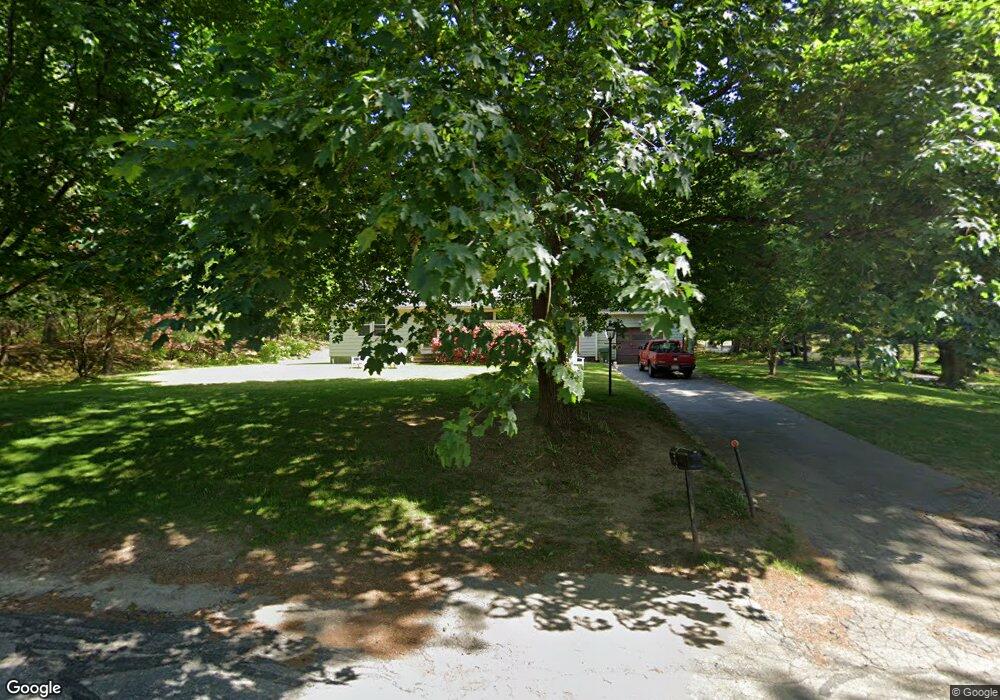
95 William Ward St Uxbridge, MA 01569
Estimated Value: $437,579 - $488,000
2
Beds
1
Bath
1,572
Sq Ft
$294/Sq Ft
Est. Value
About This Home
This home is located at 95 William Ward St, Uxbridge, MA 01569 and is currently estimated at $461,645, approximately $293 per square foot. 95 William Ward St is a home located in Worcester County with nearby schools including Uxbridge High School, Our Lady of the Valley Regional School, and Whitinsville Christian School.
Ownership History
Date
Name
Owned For
Owner Type
Purchase Details
Closed on
Aug 21, 1991
Sold by
Spratt Katherine M
Bought by
Coyne Timothy R and Dana M Seagrave
Current Estimated Value
Home Financials for this Owner
Home Financials are based on the most recent Mortgage that was taken out on this home.
Original Mortgage
$96,000
Interest Rate
9.55%
Mortgage Type
Purchase Money Mortgage
Create a Home Valuation Report for This Property
The Home Valuation Report is an in-depth analysis detailing your home's value as well as a comparison with similar homes in the area
Home Values in the Area
Average Home Value in this Area
Purchase History
| Date | Buyer | Sale Price | Title Company |
|---|---|---|---|
| Coyne Timothy R | $120,000 | -- |
Source: Public Records
Mortgage History
| Date | Status | Borrower | Loan Amount |
|---|---|---|---|
| Open | Coyne Timothy R | $108,000 | |
| Closed | Coyne Timothy R | $25,000 | |
| Closed | Coyne Timothy R | $96,000 |
Source: Public Records
Tax History
| Year | Tax Paid | Tax Assessment Tax Assessment Total Assessment is a certain percentage of the fair market value that is determined by local assessors to be the total taxable value of land and additions on the property. | Land | Improvement |
|---|---|---|---|---|
| 2025 | $45 | $342,200 | $136,300 | $205,900 |
| 2024 | $4,196 | $324,800 | $124,900 | $199,900 |
| 2023 | $3,923 | $281,200 | $113,600 | $167,600 |
| 2022 | $3,787 | $249,800 | $103,000 | $146,800 |
| 2021 | $3,879 | $245,200 | $98,400 | $146,800 |
| 2020 | $3,869 | $231,100 | $100,400 | $130,700 |
| 2019 | $3,834 | $221,000 | $93,000 | $128,000 |
| 2018 | $3,542 | $206,300 | $93,000 | $113,300 |
| 2017 | $3,402 | $200,600 | $86,900 | $113,700 |
| 2016 | $3,714 | $211,400 | $85,300 | $126,100 |
| 2015 | $3,645 | $209,500 | $85,300 | $124,200 |
Source: Public Records
Map
Nearby Homes
- 218 E Hartford Ave Unit 218
- 3 Strathmore Shire Unit A
- 288-290 Providence Rd
- 12 Hartford Ave E
- 24 Olde Canal Way Unit 24
- 125 Heritage Dr
- 164 Heritage Dr Unit 164
- 138 Elm St
- 26 Rivulet St
- 71 Rivulet St Unit B
- 237 Heritage Dr Unit 237
- 240 Heritage Dr
- 0 Homestead Ave
- 35 Pouts Ln
- 44 Pouts Ln
- 235 Rivulet St
- 223 Mendon St
- 76 Pouts Ln
- 25 Dunny Cove Ln
- 831 Providence Rd Unit 837
- 98 William Ward St
- 87 William Ward St
- 90 William Ward St
- 86 William Ward St
- 238 E Hartford Ave
- 82 William Ward St
- 79 William Ward St
- 230 Hartford Ave E
- 73 William Ward St
- 74 William Ward St
- 258 E Hartford Ave
- 225 E Hartford Ave
- 67 William Ward St
- 220 E Hartford Ave
- 231 E Hartford Ave
- 216 Hartford Ave E
- 214 E Hartford Ave
- 216 Hartford Ave E Unit 3
- 216 Hartford Ave E Unit 216
- 212 Hartford Ave E
Your Personal Tour Guide
Ask me questions while you tour the home.