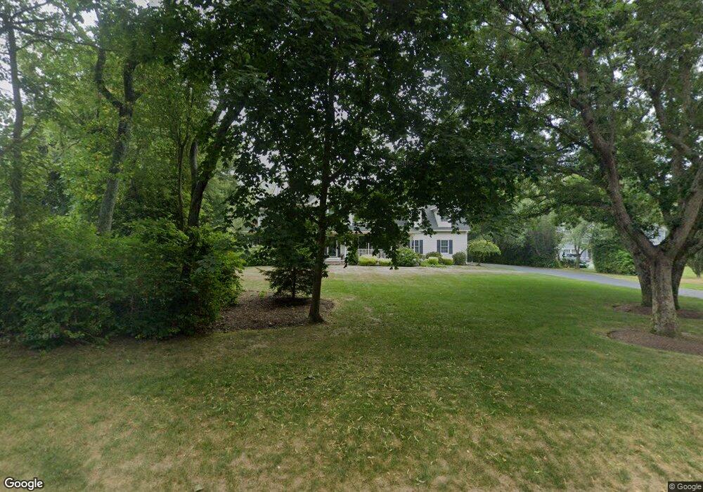
95 Woodward Ave Narragansett, RI 02882
Estimated Value: $1,427,000 - $2,342,000
4
Beds
3
Baths
2,831
Sq Ft
$627/Sq Ft
Est. Value
About This Home
This home is located at 95 Woodward Ave, Narragansett, RI 02882 and is currently estimated at $1,775,201, approximately $627 per square foot. 95 Woodward Ave is a home located in Washington County with nearby schools including Narragansett Elementary School, Narragansett Pier Middle School, and Narragansett High School.
Ownership History
Date
Name
Owned For
Owner Type
Purchase Details
Closed on
Nov 21, 2011
Sold by
Martin Denis J and Haviland-Martin Anne M
Bought by
Dennis J Martin Ret and Ann M Haviland Martin
Current Estimated Value
Purchase Details
Closed on
Dec 22, 1998
Sold by
Harow Llc
Bought by
Martin Denis J and Martin Anne M H
Home Financials for this Owner
Home Financials are based on the most recent Mortgage that was taken out on this home.
Original Mortgage
$200,000
Interest Rate
6.85%
Create a Home Valuation Report for This Property
The Home Valuation Report is an in-depth analysis detailing your home's value as well as a comparison with similar homes in the area
Home Values in the Area
Average Home Value in this Area
Purchase History
| Date | Buyer | Sale Price | Title Company |
|---|---|---|---|
| Dennis J Martin Ret | -- | -- | |
| Martin Denis J | $405,000 | -- |
Source: Public Records
Mortgage History
| Date | Status | Borrower | Loan Amount |
|---|---|---|---|
| Previous Owner | Martin Denis J | $200,000 |
Source: Public Records
Tax History Compared to Growth
Tax History
| Year | Tax Paid | Tax Assessment Tax Assessment Total Assessment is a certain percentage of the fair market value that is determined by local assessors to be the total taxable value of land and additions on the property. | Land | Improvement |
|---|---|---|---|---|
| 2024 | $8,255 | $1,260,300 | $466,100 | $794,200 |
| 2023 | $8,364 | $898,400 | $333,000 | $565,400 |
| 2022 | $8,086 | $898,400 | $333,000 | $565,400 |
| 2021 | $7,960 | $898,400 | $333,000 | $565,400 |
| 2020 | $7,466 | $712,400 | $300,300 | $412,100 |
| 2019 | $7,288 | $712,400 | $300,300 | $412,100 |
| 2018 | $7,088 | $712,400 | $300,300 | $412,100 |
| 2017 | $7,594 | $719,100 | $298,500 | $420,600 |
| 2016 | $7,249 | $719,100 | $298,500 | $420,600 |
| 2015 | $7,148 | $719,100 | $298,500 | $420,600 |
| 2014 | $7,016 | $698,800 | $298,500 | $400,300 |
Source: Public Records
Map
Nearby Homes
- 26 Westmoreland St
- 27 Westmoreland St
- 115 Kenyon Farm Rd
- 35 Anna Olivo Ct
- 126 Boon St
- 20 5th Ave
- 0 Hazard Ave
- 6 Pendleton Place
- 14 Robinson St
- 137 Kingstown Rd
- 137A Kingstown Rd
- 56 Wanda St
- 31 Avice St
- 285 Kingstown Rd
- 30 Sweet Meadows Ct Unit 26
- 0 Daytona Ave
- 147 Foddering Farm Rd
- 576 Point Judith Rd
- 125 Woodruff Ave
- 238 Wood Hill Rd
- 87 Woodward Ave
- 101 Woodward Ave
- 111 Woodward Ave
- 100 Woodward Ave
- 90 Woodward Ave
- 96 Westmoreland St
- 61 Woodward Ave
- 116 Westmoreland St
- 5 Lawrence Dr
- 200 Westmoreland St
- 90 Westmoreland St
- 115 Woodward Ave
- 112 Woodward Ave
- 9 Lawrence Dr
- 25 Kinney Ave
- 63 Gibson Ave
- 41 Kinney Ave
- 124 Westmoreland St
- 185 Westmoreland St
- 84 Westmoreland St