95 Woodway Dr Unit 95 West Deptford, NJ 08066
West Deptford Township NeighborhoodEstimated Value: $175,000 - $203,000
--
Bed
--
Bath
1,008
Sq Ft
$189/Sq Ft
Est. Value
About This Home
This home is located at 95 Woodway Dr Unit 95, West Deptford, NJ 08066 and is currently estimated at $190,869, approximately $189 per square foot. 95 Woodway Dr Unit 95 is a home located in Gloucester County with nearby schools including Green-Fields Elementary School, Oakview Elementary School, and Red Bank Elementary School.
Ownership History
Date
Name
Owned For
Owner Type
Purchase Details
Closed on
May 27, 2005
Sold by
Brodie Marcie and Brodie Daniel
Bought by
Bishop Derrell
Current Estimated Value
Home Financials for this Owner
Home Financials are based on the most recent Mortgage that was taken out on this home.
Original Mortgage
$116,400
Outstanding Balance
$61,002
Interest Rate
5.82%
Mortgage Type
Fannie Mae Freddie Mac
Estimated Equity
$129,867
Purchase Details
Closed on
Jun 28, 1999
Sold by
Cresse Wadsworth
Bought by
Brodie Marcie
Home Financials for this Owner
Home Financials are based on the most recent Mortgage that was taken out on this home.
Original Mortgage
$57,150
Interest Rate
7.09%
Mortgage Type
FHA
Create a Home Valuation Report for This Property
The Home Valuation Report is an in-depth analysis detailing your home's value as well as a comparison with similar homes in the area
Home Values in the Area
Average Home Value in this Area
Purchase History
| Date | Buyer | Sale Price | Title Company |
|---|---|---|---|
| Bishop Derrell | $120,000 | Group 21 Title Agency | |
| Brodie Marcie | $58,500 | Congress Title Corp |
Source: Public Records
Mortgage History
| Date | Status | Borrower | Loan Amount |
|---|---|---|---|
| Open | Bishop Derrell | $116,400 | |
| Previous Owner | Brodie Marcie | $57,150 |
Source: Public Records
Tax History Compared to Growth
Tax History
| Year | Tax Paid | Tax Assessment Tax Assessment Total Assessment is a certain percentage of the fair market value that is determined by local assessors to be the total taxable value of land and additions on the property. | Land | Improvement |
|---|---|---|---|---|
| 2025 | $3,115 | $89,200 | $40,000 | $49,200 |
| 2024 | $3,075 | $89,200 | $40,000 | $49,200 |
| 2023 | $3,075 | $89,200 | $40,000 | $49,200 |
| 2022 | $3,060 | $89,200 | $40,000 | $49,200 |
| 2021 | $3,050 | $89,200 | $40,000 | $49,200 |
| 2020 | $3,043 | $89,200 | $40,000 | $49,200 |
| 2019 | $2,958 | $89,200 | $40,000 | $49,200 |
| 2018 | $2,878 | $89,200 | $40,000 | $49,200 |
| 2017 | $2,811 | $89,200 | $40,000 | $49,200 |
| 2016 | $2,732 | $89,200 | $40,000 | $49,200 |
| 2015 | $3,335 | $114,300 | $45,000 | $69,300 |
| 2014 | $3,170 | $114,300 | $45,000 | $69,300 |
Source: Public Records
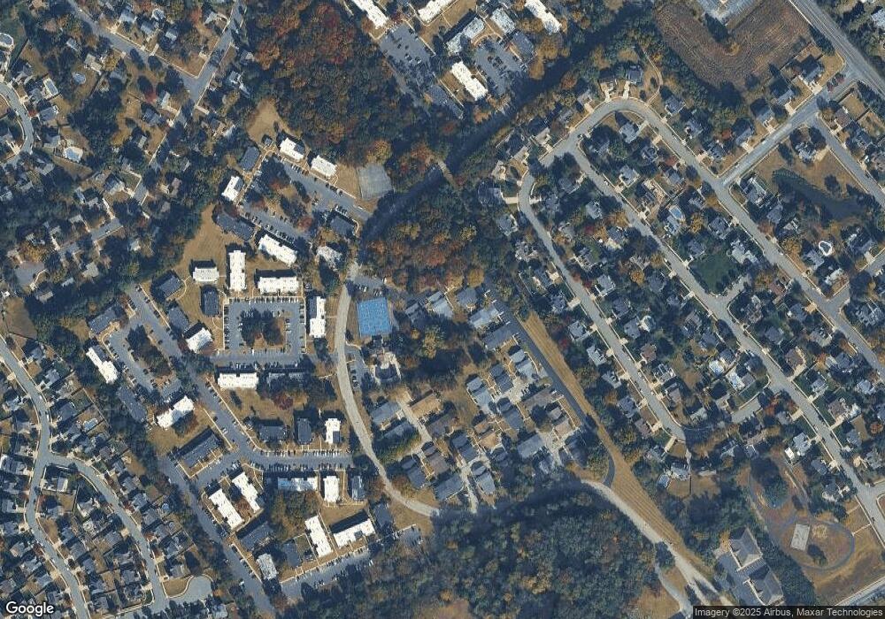
Map
Nearby Homes
- 87 Woodway Dr Unit 87
- 1220 Royal Ln
- 863 Doncaster Dr
- 1102 Barnesdale Rd
- 12 Highbridge Ln Unit I2
- 125 Lionheart Ln Unit C125
- 640 Worcester Dr
- 1012 Moore Rd Unit 6
- 1066 Buckingham Dr
- 1091 Buckingham Dr Unit 45
- 740 Carter Hill Dr
- 1311 Barnesdale Rd
- 4 Saint Emilion Ct
- 1810 Fernwood Dr
- 51 Holly Dr
- 10 Meadow Ln
- 94 Aviary Rd
- 14 Aviary Rd
- 90 Ginger Dr
- 558 Prince St
- 98 Woodway Dr
- 92 Woodway Dr Unit 92
- 97 Woodway Dr Unit 97
- 90 Woodway Dr Unit 90
- 89 Woodway Dr Unit 89
- 88 Woodway Dr
- 86 Woodway Dr
- 85 Woodway Dr Unit 85
- 61 Woodway Dr Unit 61
- 64 Woodway Dr Unit 64
- 63 Woodway Dr
- 84 Woodway Dr
- 83 Woodway Dr
- 82 Woodway Dr Unit 82
- 81 Woodway Dr
- 72 Cedarwood Ct Unit 72
- 71 Cedarwood Ct
- 75 Cedarwood Ct
- 74 Cedarwood Ct
- 70 Cedarwood Ct