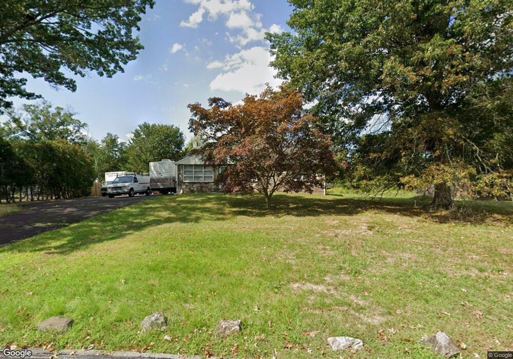
950 Bent Rd Hatfield, PA 19440
Estimated Value: $338,000 - $471,000
3
Beds
1
Bath
1,268
Sq Ft
$305/Sq Ft
Est. Value
About This Home
This home is located at 950 Bent Rd, Hatfield, PA 19440 and is currently estimated at $387,169, approximately $305 per square foot. 950 Bent Rd is a home located in Montgomery County with nearby schools including A. M. Kulp Elementary School, Pennfield Middle School, and North Penn Senior High School.
Ownership History
Date
Name
Owned For
Owner Type
Purchase Details
Closed on
Oct 2, 2022
Sold by
Uccelletti Alfred P
Bought by
Uccelletti Alfred P
Current Estimated Value
Purchase Details
Closed on
Jun 25, 2004
Sold by
Recco Anthony
Bought by
Uccelletti Alfred P and Uccelletti Monique R
Purchase Details
Closed on
Apr 22, 2003
Sold by
Recco Anthony and Recco Beverly
Bought by
Recco Anthony
Create a Home Valuation Report for This Property
The Home Valuation Report is an in-depth analysis detailing your home's value as well as a comparison with similar homes in the area
Home Values in the Area
Average Home Value in this Area
Purchase History
| Date | Buyer | Sale Price | Title Company |
|---|---|---|---|
| Uccelletti Alfred P | $8,675 | -- | |
| Uccelletti Alfred P | $160,000 | -- | |
| Recco Anthony | -- | -- |
Source: Public Records
Mortgage History
| Date | Status | Borrower | Loan Amount |
|---|---|---|---|
| Closed | Uccelletti Alfred P | $0 |
Source: Public Records
Tax History
| Year | Tax Paid | Tax Assessment Tax Assessment Total Assessment is a certain percentage of the fair market value that is determined by local assessors to be the total taxable value of land and additions on the property. | Land | Improvement |
|---|---|---|---|---|
| 2025 | $4,595 | $114,770 | $52,390 | $62,380 |
| 2024 | $4,595 | $114,770 | $52,390 | $62,380 |
| 2023 | $4,398 | $114,770 | $52,390 | $62,380 |
| 2022 | $4,255 | $114,770 | $52,390 | $62,380 |
| 2021 | $4,134 | $114,770 | $52,390 | $62,380 |
| 2020 | $4,036 | $114,770 | $52,390 | $62,380 |
| 2019 | $3,969 | $114,770 | $52,390 | $62,380 |
Source: Public Records
Map
Nearby Homes
- 1148 Independence Way
- 1173 Independence Way
- 2732 Valley Woods Rd
- 15 Maple Ave
- 2296 Bramble Gate Dr
- 4595 County Line Rd
- 21 New Galena Rd
- 1943 Linden Ln
- 1695 Latch String Ln
- 0 Fairmount St
- 2092 Hawthorne Ln
- 2943 E Walnut St Unit 59
- 52 Arbor Cir
- 83 Bethlehem Pike Unit 1306- HAMILTON PLAN
- 83 Bethlehem Pike Unit 1405
- 83 Bethlehem Pike Unit 1111
- 83 Bethlehem Pike Unit 1213 FIRESTONE
- 83 Bethlehem Pike Unit 1106- MADISON PLAN
- 83 Bethlehem Pike Unit 1102- IVY FLOORPLAN
- 83 Bethlehem Pike Unit 1104
Your Personal Tour Guide
Ask me questions while you tour the home.