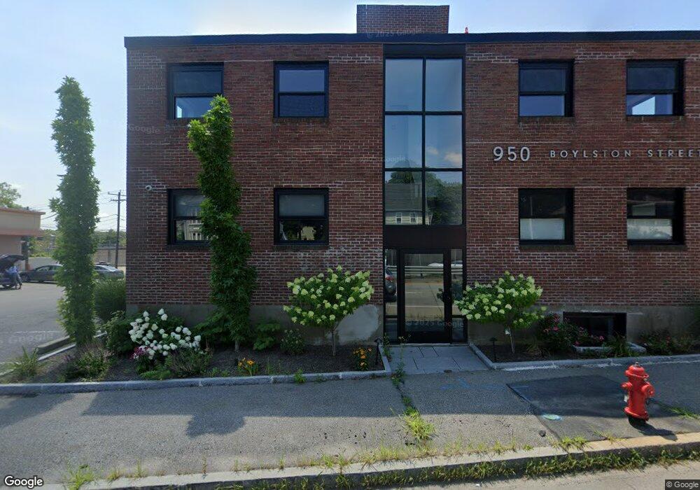
950 Boylston St Newton, MA 02461
Newton Highlands NeighborhoodEstimated Value: $2,042,146
--
Bed
6
Baths
4,752
Sq Ft
$430/Sq Ft
Est. Value
About This Home
This home is located at 950 Boylston St, Newton, MA 02461 and is currently estimated at $2,042,146, approximately $429 per square foot. 950 Boylston St is a home located in Middlesex County with nearby schools including Countryside Elementary School, Charles E Brown Middle School, and Newton South High School.
Ownership History
Date
Name
Owned For
Owner Type
Purchase Details
Closed on
Sep 21, 2019
Sold by
Vrb Nt
Bought by
38 Ramsdell Street Llc
Current Estimated Value
Home Financials for this Owner
Home Financials are based on the most recent Mortgage that was taken out on this home.
Original Mortgage
$845,000
Interest Rate
3.7%
Mortgage Type
Purchase Money Mortgage
Purchase Details
Closed on
Oct 11, 2012
Sold by
Bram Vivian R
Bought by
Vrb Nt and Bram Vivian R
Purchase Details
Closed on
Mar 3, 2004
Sold by
Brenner Alan J and Brenner Carol M
Bought by
Alex Dev Llc
Purchase Details
Closed on
Dec 8, 1983
Bought by
Vrb Nt
Create a Home Valuation Report for This Property
The Home Valuation Report is an in-depth analysis detailing your home's value as well as a comparison with similar homes in the area
Home Values in the Area
Average Home Value in this Area
Purchase History
| Date | Buyer | Sale Price | Title Company |
|---|---|---|---|
| 38 Ramsdell Street Llc | $1,300,000 | None Available | |
| Vrb Nt | -- | -- | |
| Alex Dev Llc | -- | -- | |
| Vrb Nt | -- | -- |
Source: Public Records
Mortgage History
| Date | Status | Borrower | Loan Amount |
|---|---|---|---|
| Previous Owner | 38 Ramsdell Street Llc | $845,000 |
Source: Public Records
Tax History Compared to Growth
Tax History
| Year | Tax Paid | Tax Assessment Tax Assessment Total Assessment is a certain percentage of the fair market value that is determined by local assessors to be the total taxable value of land and additions on the property. | Land | Improvement |
|---|---|---|---|---|
| 2025 | $20,812 | $1,134,800 | $400,400 | $734,400 |
| 2024 | $20,337 | $1,109,500 | $373,700 | $735,800 |
| 2023 | $21,961 | $1,151,600 | $355,900 | $795,700 |
| 2022 | $17,748 | $889,600 | $279,700 | $609,900 |
| 2021 | $19,754 | $981,800 | $279,700 | $702,100 |
| 2020 | $19,557 | $981,800 | $279,700 | $702,100 |
| 2019 | $18,961 | $950,900 | $279,700 | $671,200 |
| 2018 | $18,051 | $875,400 | $261,400 | $614,000 |
| 2017 | $17,697 | $832,000 | $237,600 | $594,400 |
| 2016 | $18,254 | $832,000 | $237,600 | $594,400 |
| 2015 | $18,620 | $832,000 | $237,600 | $594,400 |
Source: Public Records
Map
Nearby Homes
- 3 Glenmore Terrace Unit 2
- 200 Lincoln St
- 1151 Walnut St Unit 205
- 1151 Walnut St Unit 405
- 1151 Walnut St Unit 207
- 1629 Centre St
- 1077 Boylston St
- 1623-1625 Centre St
- 17 Circuit Ave Unit 2
- 1597 Centre St Unit 1597
- 1597 Centre St
- 1292 Walnut St
- 2 Raeburn Terrace
- 35 Kingston Rd
- 125 Oakdale Rd
- 103 Thurston Rd
- 102 Thurston Rd Unit 100
- 120 Stanley Rd
- 250 Woodcliff Rd
- 66 Rockland Place
- 964 Boylston St
- 947 Boylston St
- 943 Boylston St
- 943 Boylston St Unit 1
- 943 Boylston St Unit 2
- 955 Boylston St Unit 957
- 961 Boylston St
- 56 Ramsdell St
- 963 Boylston St
- 963 Boylston St Unit 1
- 9 Delmore Rd
- 9 Delmore Rd Unit 1-9
- 11 Delmore Rd
- 11 Delmore Rd Unit 11-11
- 77 Hartford St Unit 1
- 77 Hartford St
- 77 Hartford St Unit 77 Hartford St
- 77 Hartford St
- 77 Hartford St
- 77 Hartford St Unit Rear