950 Castledale Dr Houston, TX 77037
Estimated Value: $215,000 - $277,000
3
Beds
2
Baths
1,868
Sq Ft
$125/Sq Ft
Est. Value
About This Home
This home is located at 950 Castledale Dr, Houston, TX 77037 and is currently estimated at $233,002, approximately $124 per square foot. 950 Castledale Dr is a home located in Harris County with nearby schools including Barrick Elementary School, Patrick Henry Middle School, and Sam Houston Math, Science & Technology Center.
Ownership History
Date
Name
Owned For
Owner Type
Purchase Details
Closed on
Apr 29, 2009
Sold by
Mclosky Linda Joyce
Bought by
Zamarripa Marco L and Zamarripa Zoila R
Current Estimated Value
Home Financials for this Owner
Home Financials are based on the most recent Mortgage that was taken out on this home.
Original Mortgage
$110,953
Outstanding Balance
$70,779
Interest Rate
5.03%
Mortgage Type
FHA
Estimated Equity
$162,223
Create a Home Valuation Report for This Property
The Home Valuation Report is an in-depth analysis detailing your home's value as well as a comparison with similar homes in the area
Home Values in the Area
Average Home Value in this Area
Purchase History
| Date | Buyer | Sale Price | Title Company |
|---|---|---|---|
| Zamarripa Marco L | -- | First American Title |
Source: Public Records
Mortgage History
| Date | Status | Borrower | Loan Amount |
|---|---|---|---|
| Open | Zamarripa Marco L | $110,953 |
Source: Public Records
Tax History Compared to Growth
Tax History
| Year | Tax Paid | Tax Assessment Tax Assessment Total Assessment is a certain percentage of the fair market value that is determined by local assessors to be the total taxable value of land and additions on the property. | Land | Improvement |
|---|---|---|---|---|
| 2025 | $2,759 | $193,032 | $40,980 | $152,052 |
| 2024 | $2,759 | $156,980 | $20,490 | $136,490 |
| 2023 | $2,759 | $156,980 | $20,490 | $136,490 |
| 2022 | $2,905 | $156,980 | $19,482 | $137,498 |
| 2021 | $3,095 | $156,980 | $19,482 | $137,498 |
| 2020 | $2,572 | $125,259 | $19,482 | $105,777 |
| 2019 | $1,867 | $87,136 | $19,482 | $67,654 |
| 2018 | $1,956 | $91,326 | $20,490 | $70,836 |
| 2017 | $2,340 | $109,215 | $20,490 | $88,725 |
| 2016 | $2,340 | $109,215 | $20,490 | $88,725 |
| 2015 | $2,749 | $128,482 | $23,100 | $105,382 |
| 2014 | $2,749 | $128,482 | $23,100 | $105,382 |
Source: Public Records
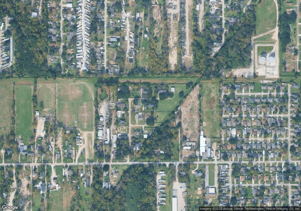
Map
Nearby Homes
- 931 Mitchell Rd
- 1122 Havner Ln
- 12806 Bauman Rd
- 511 Gulf Bank Rd Unit 5
- 1450 Mesquite St
- 13610 Carmilenda St
- 12002 Privada Saratoga Ave
- 1449 Mesquite St
- 12969 W Hardy Rd
- 904 Hill Rd
- 8605 Airline Dr
- 11110 E Hardy Rd
- 7713 Airline Dr
- 1508 Hopper Rd Unit 1
- 28351 W Hardy Rd
- 130 Airway Dr
- 1703 & 0 Sunny Dr
- 8011 Werner St
- 822 Aldine Mail Route Rd
- 382 Airway St
- 951 Hartwick Rd
- 942 Castledale Dr
- 943 Hartwick Rd
- 947 Castledale Dr
- 955 Castledale Dr
- 0 Mcclosky St
- 12811 Mcclosky St
- 935 Castledale Dr
- 942 Hartwick Rd
- 942 Hartwick Rd
- 12710 Mcclosky St
- 12715 Mcclosky St
- 1011 Mitchell Rd
- 12902 Breezeway St
- Lot 4 Mcclosky St
- 929 Mitchell Rd
- 12904 Breezeway St
- 1111 Mitchell Rd
- 12901 Breezeway St
- 12905 Breezeway St