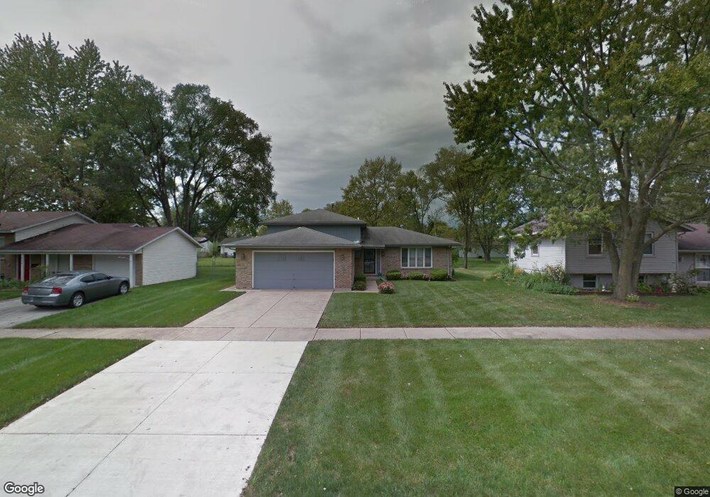
950 Central Ave Matteson, IL 60443
West Matteson NeighborhoodEstimated Value: $220,000 - $261,000
About This Home
This home is located at 950 Central Ave, Matteson, IL 60443 and is currently estimated at $243,965, approximately $186 per square foot. 950 Central Ave is a home located in Cook County with nearby schools including Colin Powell Middle School and Southland College Prep.
Ownership History
We collect this data history from publicly available records. To have your information removed, we recommend requesting removal directly through your county’s website.
Purchase Details
Purchase Details
Purchase Details
Home Financials for this Owner
Home Financials are based on the most recent Mortgage that was taken out on this home.Home Values in the Area
Average Home Value in this Area
Purchase History
We collect this data history from publicly available records. To have your information removed, we recommend requesting removal directly through your county’s website.
| Date | Buyer | Sale Price | Title Company |
|---|---|---|---|
| -- | None Available | ||
| -- | -- | ||
| $73,333 | -- |
Mortgage History
We collect this data history from publicly available records. To have your information removed, we recommend requesting removal directly through your county’s website.
| Date | Status | Borrower | Loan Amount |
|---|---|---|---|
| Previous Owner | $88,000 |
Tax History
We collect this data history from publicly available records. To have your information removed, we recommend requesting removal directly through your county’s website.
| Year | Tax Paid | Tax Assessment Tax Assessment Total Assessment is a certain percentage of the fair market value that is determined by local assessors to be the total taxable value of land and additions on the property. | Land | Improvement |
|---|---|---|---|---|
| 2025 | $5,817 | $20,000 | $3,016 | $16,984 |
| 2024 | $5,817 | $20,000 | $3,016 | $16,984 |
| 2023 | $3,955 | $20,000 | $3,016 | $16,984 |
| 2022 | $3,955 | $13,543 | $2,639 | $10,904 |
| 2021 | $4,079 | $13,543 | $2,639 | $10,904 |
| 2020 | $4,156 | $13,543 | $2,639 | $10,904 |
| 2019 | $4,744 | $14,856 | $2,450 | $12,406 |
| 2018 | $4,669 | $14,856 | $2,450 | $12,406 |
| 2017 | $4,597 | $14,856 | $2,450 | $12,406 |
| 2016 | $4,065 | $12,135 | $2,262 | $9,873 |
| 2015 | $3,881 | $12,135 | $2,262 | $9,873 |
| 2014 | $3,822 | $12,135 | $2,262 | $9,873 |
| 2013 | $5,120 | $15,636 | $2,262 | $13,374 |
Map
- 920 Central Ave
- 5503 Georgetown Dr
- 997 Regent Dr
- 1010 Regent Dr
- 818 Princeton Ave
- 937 Notre Dame Dr
- 848 Notre Dame Dr
- 5631 Colgate Ln
- 651 Central Ave
- 909 Berkshire Dr
- 21223 Alessandra Dr
- 21229 Sophia Dr
- 6216 Pond View Dr
- 6037 Spring Ln
- 21249 Sophia Dr
- 5245 Southwick Ct
- 5620 Feathercreek Rd
- 21218 Shannon Ave
- 301 Providence Dr
- 534 Quail Run Rd
- 957 Dartmouth Ave
- 947 Dartmouth Ave
- 958 Central Ave
- 961 Dartmouth Ave
- 945 Dartmouth Ave
- 954 Central Ave
- 962 Central Ave
- 954 Dartmouth Ave
- 958 Dartmouth Ave
- 941 Dartmouth Ave
- 946 Dartmouth Ave
- 962 Dartmouth Ave
- 5614 Amherst Place
- 944 Central Ave
- 966 Central Ave
- 942 Dartmouth Ave
- 937 Dartmouth Ave
- 966 Dartmouth Ave
- 938 Central Ave
- 953 Princeton Ave
Ask me questions while you tour the home.