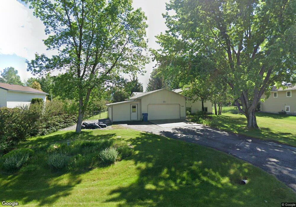
950 Doane Rd Bozeman, MT 59718
Estimated Value: $585,161 - $721,000
3
Beds
3
Baths
2,106
Sq Ft
$308/Sq Ft
Est. Value
About This Home
This home is located at 950 Doane Rd, Bozeman, MT 59718 and is currently estimated at $647,790, approximately $307 per square foot. 950 Doane Rd is a home located in Gallatin County with nearby schools including Whittier School, Chief Joseph Middle School, and Gallatin High School.
Ownership History
Date
Name
Owned For
Owner Type
Purchase Details
Closed on
Oct 13, 2011
Sold by
Johnson Randall C and Johnson Mary W
Bought by
Johnson Mary W
Current Estimated Value
Purchase Details
Closed on
Aug 21, 2009
Sold by
Johnson Randall C and Johnson Mary W
Bought by
Johnson Randall C and Johnson Mary W
Purchase Details
Closed on
Mar 27, 2009
Sold by
Kellar Joshua A and Kellar Elaina
Bought by
Johnson Randall C and Knighton Mary W
Home Financials for this Owner
Home Financials are based on the most recent Mortgage that was taken out on this home.
Original Mortgage
$189,500
Outstanding Balance
$119,402
Interest Rate
5.04%
Mortgage Type
Purchase Money Mortgage
Estimated Equity
$528,388
Create a Home Valuation Report for This Property
The Home Valuation Report is an in-depth analysis detailing your home's value as well as a comparison with similar homes in the area
Purchase History
| Date | Buyer | Sale Price | Title Company |
|---|---|---|---|
| Johnson Mary W | -- | None Available | |
| Johnson Randall C | -- | None Available | |
| Johnson Randall C | -- | Security Title Company |
Source: Public Records
Mortgage History
| Date | Status | Borrower | Loan Amount |
|---|---|---|---|
| Open | Johnson Randall C | $189,500 |
Source: Public Records
Tax History
| Year | Tax Paid | Tax Assessment Tax Assessment Total Assessment is a certain percentage of the fair market value that is determined by local assessors to be the total taxable value of land and additions on the property. | Land | Improvement |
|---|---|---|---|---|
| 2025 | $1,992 | $560,100 | $0 | $0 |
| 2024 | $3,746 | $685,600 | $0 | $0 |
| 2023 | $3,901 | $685,600 | $0 | $0 |
| 2022 | $2,792 | $418,900 | $0 | $0 |
| 2021 | $3,106 | $418,900 | $0 | $0 |
| 2020 | $2,921 | $355,900 | $0 | $0 |
| 2019 | $2,866 | $355,900 | $0 | $0 |
| 2018 | $2,686 | $301,800 | $0 | $0 |
| 2017 | $2,347 | $301,800 | $0 | $0 |
| 2016 | $2,147 | $244,000 | $0 | $0 |
| 2015 | $2,134 | $244,000 | $0 | $0 |
| 2014 | $2,241 | $152,057 | $0 | $0 |
Source: Public Records
Map
Nearby Homes
- Lot 2A Bison Trail
- 456 Bison Trail
- 174 Valley Grove Dr
- TBD E Cameron Bridge Rd
- TBD Harper Puckett
- 2030 and 2032 Love Ln
- TBD Riparian Way
- Lot 10 Riparian Way
- Lot 3 Riparian Way
- 2380 Watts Ln
- 3589 Royal Wolf Way Unit A
- 3589 Royal Wolf Way Unit B
- 3589 Royal Wolf Way Unit C
- 3555 Royal Wolf Way Unit Lot 18
- 3485 Royal Wolf Way Unit B
- 3485 Royal Wolf Way Unit A
- 3481 Royal Wolf Way Unit B
- 3481 Royal Wolf Way Unit A
- TBD Nelson
- TBD Nelson Unit Lot 22
Your Personal Tour Guide
Ask me questions while you tour the home.