Estimated Value: $210,359 - $272,000
3
Beds
1
Bath
1,039
Sq Ft
$229/Sq Ft
Est. Value
About This Home
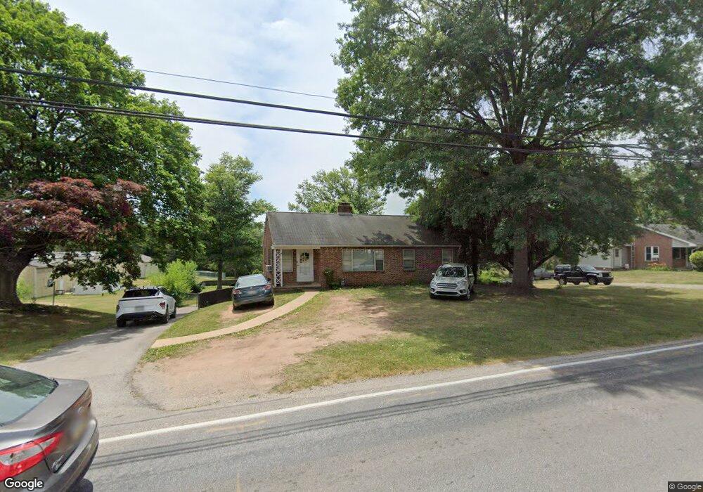
This home is located at 950 E Canal Rd, Dover, PA 17315 and is currently estimated at $237,590, approximately $228 per square foot. 950 E Canal Rd is a home located in York County with nearby schools including Dover Area High School, York Adventist Christian School, and Bible Baptist Christian Academy.
Ownership History
Date
Name
Owned For
Owner Type
Purchase Details
Closed on
Jan 21, 2021
Sold by
Boritz Michael K
Bought by
Miller Heather E
Current Estimated Value
Home Financials for this Owner
Home Financials are based on the most recent Mortgage that was taken out on this home.
Original Mortgage
$200,000
Outstanding Balance
$178,375
Interest Rate
2.67%
Mortgage Type
Purchase Money Mortgage
Estimated Equity
$59,215
Purchase Details
Closed on
May 11, 2015
Sold by
Jacobs M Evelyn
Bought by
Boritz Michael K
Create a Home Valuation Report for This Property
The Home Valuation Report is an in-depth analysis detailing your home's value as well as a comparison with similar homes in the area
Home Values in the Area
Average Home Value in this Area
Purchase History
| Date | Buyer | Sale Price | Title Company |
|---|---|---|---|
| Miller Heather E | $250,000 | Black Abstract Inc | |
| Boritz Michael K | $96,890 | None Available |
Source: Public Records
Mortgage History
| Date | Status | Borrower | Loan Amount |
|---|---|---|---|
| Open | Miller Heather E | $200,000 |
Source: Public Records
Tax History
| Year | Tax Paid | Tax Assessment Tax Assessment Total Assessment is a certain percentage of the fair market value that is determined by local assessors to be the total taxable value of land and additions on the property. | Land | Improvement |
|---|---|---|---|---|
| 2025 | $3,179 | $96,890 | $39,600 | $57,290 |
| 2024 | $3,150 | $96,890 | $39,600 | $57,290 |
| 2023 | $3,150 | $96,890 | $39,600 | $57,290 |
| 2022 | $3,092 | $96,890 | $39,600 | $57,290 |
| 2021 | $2,918 | $96,890 | $39,600 | $57,290 |
| 2020 | $2,891 | $96,890 | $39,600 | $57,290 |
| 2019 | $2,856 | $96,890 | $39,600 | $57,290 |
| 2018 | $2,784 | $96,890 | $39,600 | $57,290 |
| 2017 | $2,784 | $96,890 | $39,600 | $57,290 |
| 2016 | $0 | $96,890 | $39,600 | $57,290 |
| 2015 | -- | $96,890 | $39,600 | $57,290 |
| 2014 | -- | $96,890 | $39,600 | $57,290 |
Source: Public Records
Map
Nearby Homes
- 1030 E Canal Rd
- 856 Shadowbrooke Dr
- 862 Shadowbrooke Dr
- 855 Shadowbrooke Dr
- 285 Grantway Dr
- 880 Shadowbrooke
- 922 Shadowbrooke
- 235 Bella Dr
- 225 Bella Dr
- 215 Bella Dr
- 305 Grantway Dr
- 140 Amber Ln
- 190 Bella Dr
- 180 Bella Dr
- 325 Grantway Dr
- 3332 Glen Hollow Dr
- 227 Waldorf Dr
- 3500 Winter Dr
- 1640 Blue Jay Dr
- 1724 Candle Ln
Your Personal Tour Guide
Ask me questions while you tour the home.