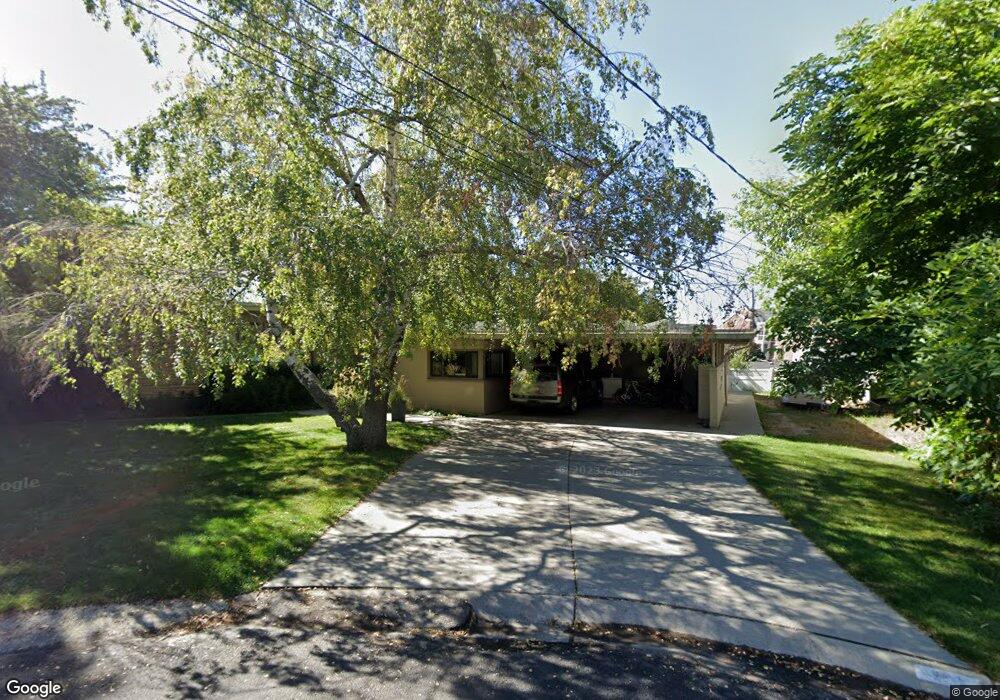
950 Fir Cir Provo, UT 84604
Wasatch NeighborhoodEstimated Value: $661,000 - $950,000
5
Beds
3
Baths
2,899
Sq Ft
$263/Sq Ft
Est. Value
About This Home
This home is located at 950 Fir Cir, Provo, UT 84604 and is currently estimated at $763,522, approximately $263 per square foot. 950 Fir Cir is a home located in Utah County with nearby schools including Wasatch Elementary School, Centennial Middle School, and Timpview High School.
Ownership History
Date
Name
Owned For
Owner Type
Purchase Details
Closed on
Apr 30, 2019
Sold by
Dalton David Aaron
Bought by
Dalton Elise J
Current Estimated Value
Purchase Details
Closed on
Mar 1, 2013
Sold by
Malinka John and Malinka Janette
Bought by
Dalton David Aaron and Dalton Elise J
Home Financials for this Owner
Home Financials are based on the most recent Mortgage that was taken out on this home.
Original Mortgage
$203,400
Outstanding Balance
$143,469
Interest Rate
3.53%
Mortgage Type
New Conventional
Estimated Equity
$620,053
Purchase Details
Closed on
Oct 20, 2010
Sold by
Malinka John G and Malinka Janette
Bought by
Malinka John and Malinka Janette
Create a Home Valuation Report for This Property
The Home Valuation Report is an in-depth analysis detailing your home's value as well as a comparison with similar homes in the area
Home Values in the Area
Average Home Value in this Area
Purchase History
| Date | Buyer | Sale Price | Title Company |
|---|---|---|---|
| Dalton Elise J | -- | Inwest Title Orem | |
| Dalton David Aaron | -- | Access Title Co | |
| Malinka John | -- | None Available |
Source: Public Records
Mortgage History
| Date | Status | Borrower | Loan Amount |
|---|---|---|---|
| Open | Dalton David Aaron | $203,400 |
Source: Public Records
Tax History Compared to Growth
Tax History
| Year | Tax Paid | Tax Assessment Tax Assessment Total Assessment is a certain percentage of the fair market value that is determined by local assessors to be the total taxable value of land and additions on the property. | Land | Improvement |
|---|---|---|---|---|
| 2025 | $3,186 | $332,475 | $261,600 | $342,900 |
| 2024 | $3,186 | $313,610 | $0 | $0 |
| 2023 | $3,074 | $298,265 | $0 | $0 |
| 2022 | $3,038 | $297,275 | $0 | $0 |
| 2021 | $2,470 | $421,600 | $204,300 | $217,300 |
| 2020 | $2,353 | $376,400 | $163,400 | $213,000 |
| 2019 | $2,095 | $348,600 | $163,400 | $185,200 |
| 2018 | $1,922 | $324,400 | $155,700 | $168,700 |
| 2017 | $1,832 | $169,840 | $0 | $0 |
| 2016 | $1,846 | $159,555 | $0 | $0 |
| 2015 | $1,788 | $156,145 | $0 | $0 |
| 2014 | $1,691 | $154,000 | $0 | $0 |
Source: Public Records
Map
Nearby Homes
- 990 Cedar Ave
- 1604 N Willow Ln
- 1175 N Locust Ln
- 1205 N Old Willow Ln
- 907 E 820 N Unit 11
- 915 E 820 N Unit 24
- 360 Sumac Ln
- 788 N 700 E Unit 4
- 1559 Oak Cliff Dr
- 2040 Oakcrest Terrace
- 1754 N 1550 E
- 734 Hillsdale Ln
- 943 N Terrace Dr
- 611 N 700 E Unit 5
- 617 N Seven Peaks Blvd Unit 10
- 561 N 700 E
- 1215 N Terrace Dr
- 664 E 2320 N
- 182 E 2090 N
- 186 E 2100 N