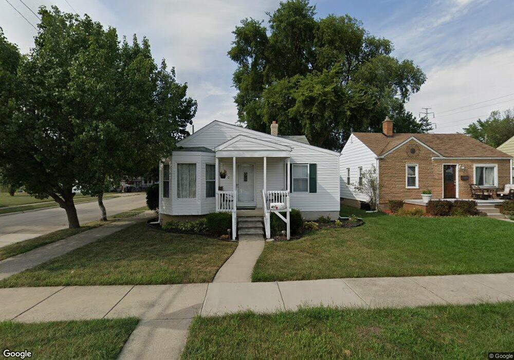
950 Hudson St Unit Bldg-Unit Wyandotte, MI 48192
Estimated Value: $202,224 - $216,000
--
Bed
1
Bath
1,319
Sq Ft
$158/Sq Ft
Est. Value
About This Home
This home is located at 950 Hudson St Unit Bldg-Unit, Wyandotte, MI 48192 and is currently estimated at $208,306, approximately $157 per square foot. 950 Hudson St Unit Bldg-Unit is a home located in Wayne County with nearby schools including Jefferson Elementary School, Woodrow Wilson School, and Roosevelt High School.
Ownership History
Date
Name
Owned For
Owner Type
Purchase Details
Closed on
Feb 28, 2018
Sold by
Boggs Angela
Bought by
Lower Teresa
Current Estimated Value
Purchase Details
Closed on
Feb 11, 2013
Sold by
Estate Of Shirley Lou Kish
Bought by
Kuzdzal Angela
Home Financials for this Owner
Home Financials are based on the most recent Mortgage that was taken out on this home.
Original Mortgage
$48,995
Interest Rate
4.4%
Mortgage Type
FHA
Create a Home Valuation Report for This Property
The Home Valuation Report is an in-depth analysis detailing your home's value as well as a comparison with similar homes in the area
Home Values in the Area
Average Home Value in this Area
Purchase History
| Date | Buyer | Sale Price | Title Company |
|---|---|---|---|
| Lower Teresa | $119,000 | Title Express Llc | |
| Kuzdzal Angela | $49,900 | None Available |
Source: Public Records
Mortgage History
| Date | Status | Borrower | Loan Amount |
|---|---|---|---|
| Previous Owner | Kuzdzal Angela | $48,995 |
Source: Public Records
Tax History Compared to Growth
Tax History
| Year | Tax Paid | Tax Assessment Tax Assessment Total Assessment is a certain percentage of the fair market value that is determined by local assessors to be the total taxable value of land and additions on the property. | Land | Improvement |
|---|---|---|---|---|
| 2025 | $2,663 | $92,500 | $0 | $0 |
| 2024 | $2,663 | $85,100 | $0 | $0 |
| 2023 | $2,539 | $77,600 | $0 | $0 |
| 2022 | $2,941 | $68,900 | $0 | $0 |
| 2021 | $2,883 | $61,600 | $0 | $0 |
| 2020 | $2,843 | $55,400 | $0 | $0 |
| 2019 | $2,804 | $51,100 | $0 | $0 |
| 2018 | $1,596 | $43,100 | $0 | $0 |
| 2017 | $1,333 | $43,100 | $0 | $0 |
| 2016 | $2,558 | $39,200 | $0 | $0 |
| 2015 | $3,444 | $36,400 | $0 | $0 |
| 2013 | $3,330 | $33,300 | $0 | $0 |
| 2012 | $1,576 | $34,900 | $5,400 | $29,500 |
Source: Public Records
Map
Nearby Homes
- 950 Hudson St
- 940 Hudson St
- 932 Hudson St
- 1004 Hudson St
- 951 Antoine St
- 924 Hudson St
- 941 Antoine St Unit Bldg-Unit
- 941 Antoine St
- 914 Hudson St
- 1009 Antoine St
- 951 Hudson St
- 1014 Hudson St
- 1005 Hudson St
- 933 Hudson St
- 925 Antoine St
- 1019 Antoine St
- 1526 10th St
- 1015 Hudson St
- 925 Hudson St
- 915 Antoine St