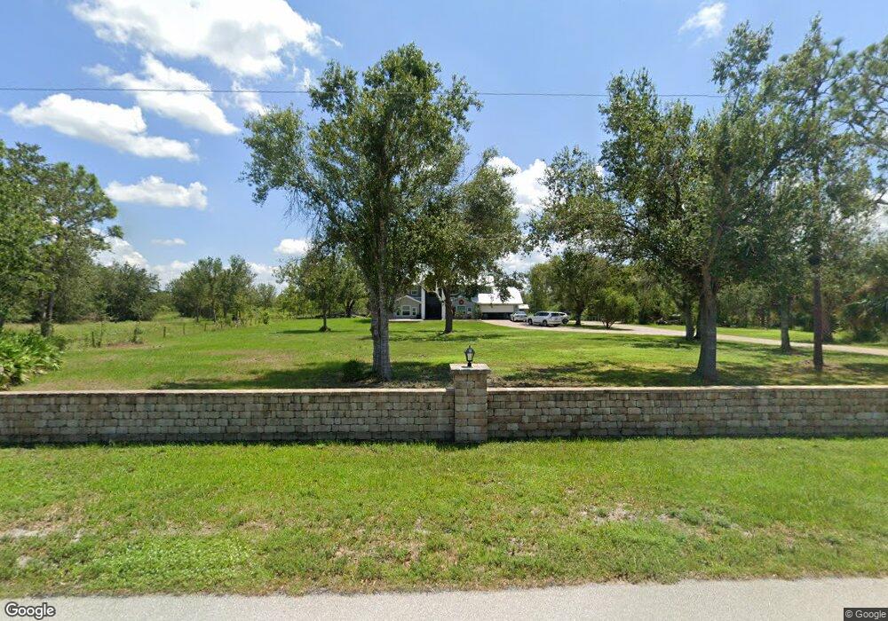
950 Robinhood Dr Punta Gorda, FL 33982
Estimated Value: $612,000 - $684,988
3
Beds
4
Baths
3,051
Sq Ft
$213/Sq Ft
Est. Value
About This Home
This home is located at 950 Robinhood Dr, Punta Gorda, FL 33982 and is currently estimated at $648,747, approximately $212 per square foot. 950 Robinhood Dr is a home located in Charlotte County with nearby schools including East Elementary School, Punta Gorda Middle School, and Charlotte High School.
Ownership History
Date
Name
Owned For
Owner Type
Purchase Details
Closed on
May 15, 2024
Sold by
Giacolone Michael
Bought by
Michael Giacolone And Debra Giacolone Revocab and Giacolone
Current Estimated Value
Purchase Details
Closed on
Oct 21, 2014
Sold by
Brooks Melisa A
Bought by
Giacolone Mike
Home Financials for this Owner
Home Financials are based on the most recent Mortgage that was taken out on this home.
Original Mortgage
$170,000
Interest Rate
4.15%
Mortgage Type
New Conventional
Create a Home Valuation Report for This Property
The Home Valuation Report is an in-depth analysis detailing your home's value as well as a comparison with similar homes in the area
Home Values in the Area
Average Home Value in this Area
Purchase History
| Date | Buyer | Sale Price | Title Company |
|---|---|---|---|
| Michael Giacolone And Debra Giacolone Revocab | $100 | None Listed On Document | |
| Giacolone Mike | $255,400 | Silver King Title Co |
Source: Public Records
Mortgage History
| Date | Status | Borrower | Loan Amount |
|---|---|---|---|
| Previous Owner | Giacolone Mike | $170,000 |
Source: Public Records
Tax History Compared to Growth
Tax History
| Year | Tax Paid | Tax Assessment Tax Assessment Total Assessment is a certain percentage of the fair market value that is determined by local assessors to be the total taxable value of land and additions on the property. | Land | Improvement |
|---|---|---|---|---|
| 2023 | $6,431 | $336,461 | $0 | $0 |
| 2022 | $6,235 | $326,661 | $0 | $0 |
| 2021 | $6,254 | $317,147 | $0 | $0 |
| 2020 | $6,161 | $312,768 | $0 | $0 |
| 2019 | $5,479 | $273,047 | $0 | $0 |
| 2018 | $5,147 | $267,956 | $0 | $0 |
| 2017 | $5,108 | $262,445 | $45,928 | $216,517 |
| 2016 | $5,357 | $273,169 | $0 | $0 |
| 2015 | $5,686 | $220,787 | $0 | $0 |
| 2014 | $3,836 | $145,694 | $0 | $0 |
Source: Public Records
Map
Nearby Homes
- 5301 Sabal Palm Ln
- 28192 Santa Rosa Ct
- 5905 Cleveland Dr
- 1319 Persay Dr
- 1405 Persay Dr
- 1410 Persay Dr
- 27999 Arrowhead Cir
- 28059 Arrowhead Cir
- 6514 Bernadean Blvd
- 5093 Duncan Rd
- 6840 Bernadean Blvd
- 27855 Arrowhead Cir
- 27520 Mitchell Ave
- 4796 Duncan Rd
- 4835 Duncan Rd
- 1858 Keith Dr
- 4780 Duncan Rd
- 2011 Calle Bonito
- 29430 Bermont Rd
- 0 Cleveland Ave
- 970 Robinhood Dr Unit 1
- 970 Drive
- 901 Robinhood Dr
- 1006 Robinhood Dr
- 1010 Drive
- 1010 Robinhood Dr
- 860 Robinhood Dr
- 875 Robinhood Dr
- 6501 Cleveland Dr
- 1075 Robinhood Dr
- 826 Robinhood Dr
- 5300 Sabal Palm Ln
- 6401 Cleveland Dr
- 825 Robinhood Dr
- 5600 Sabal Palm Ln
- 5380 Sabal Palm Ln
- 5640 Sabal Palm Ln
- 5660 Sabal Palm Ln
- 5620 Sabal Palm Ln
- 6510 Cleveland Dr