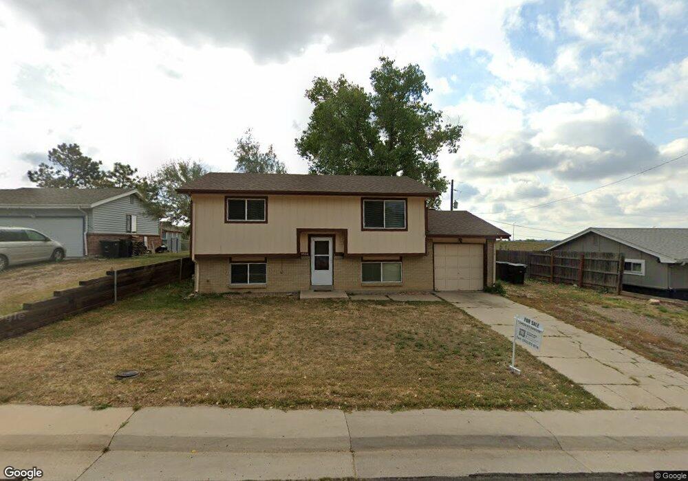
9504 Damon Dr Thornton, CO 80260
Estimated Value: $446,426 - $528,000
3
Beds
2
Baths
1,640
Sq Ft
$301/Sq Ft
Est. Value
About This Home
This home is located at 9504 Damon Dr, Thornton, CO 80260 and is currently estimated at $492,857, approximately $300 per square foot. 9504 Damon Dr is a home located in Adams County with nearby schools including North Mor Elementary School, Northglenn Middle School, and Northglenn High School.
Ownership History
Date
Name
Owned For
Owner Type
Purchase Details
Closed on
Oct 14, 2021
Sold by
Mccandless Timothy and Mccandless Margaret
Bought by
Mccadless Trust
Current Estimated Value
Purchase Details
Closed on
Apr 30, 2019
Sold by
The Mccandless Trust
Bought by
Mccandless Timothy and Mccandless Margaret
Home Financials for this Owner
Home Financials are based on the most recent Mortgage that was taken out on this home.
Original Mortgage
$199,000
Interest Rate
4.2%
Mortgage Type
New Conventional
Purchase Details
Closed on
Aug 9, 2016
Sold by
Mccandless Timothy James and Mccandless Margaret Sue
Bought by
Mccandless Trust
Create a Home Valuation Report for This Property
The Home Valuation Report is an in-depth analysis detailing your home's value as well as a comparison with similar homes in the area
Home Values in the Area
Average Home Value in this Area
Purchase History
| Date | Buyer | Sale Price | Title Company |
|---|---|---|---|
| Mccadless Trust | -- | None Available | |
| Mccandless Timothy | -- | Heritage Title Co | |
| Mccandless Trust | -- | None Available |
Source: Public Records
Mortgage History
| Date | Status | Borrower | Loan Amount |
|---|---|---|---|
| Previous Owner | Mccandless Timothy | $199,000 |
Source: Public Records
Tax History Compared to Growth
Tax History
| Year | Tax Paid | Tax Assessment Tax Assessment Total Assessment is a certain percentage of the fair market value that is determined by local assessors to be the total taxable value of land and additions on the property. | Land | Improvement |
|---|---|---|---|---|
| 2024 | $2,703 | $27,190 | $6,250 | $20,940 |
| 2023 | $2,675 | $29,840 | $5,550 | $24,290 |
| 2022 | $2,710 | $23,810 | $5,700 | $18,110 |
| 2021 | $2,710 | $23,810 | $5,700 | $18,110 |
| 2020 | $2,457 | $22,020 | $5,860 | $16,160 |
| 2019 | $2,462 | $22,020 | $5,860 | $16,160 |
| 2018 | $1,856 | $16,130 | $5,900 | $10,230 |
| 2017 | $1,688 | $16,130 | $5,900 | $10,230 |
| 2016 | $1,425 | $13,260 | $3,180 | $10,080 |
| 2015 | $1,423 | $13,260 | $3,180 | $10,080 |
| 2014 | $1,253 | $11,350 | $2,630 | $8,720 |
Source: Public Records
Map
Nearby Homes
- 9463 Lou Dr
- 8881 Huron St
- 707 W 96th Ave Unit 2
- 707 W 96th Ave Unit 31
- 707 W 96th Ave Unit 12
- 707 W 96th Ave Unit 5
- 707 W 96th Ave Unit 9
- 9708 Covey Ct
- 9650 Huron St Unit 3
- 9650 Huron St Unit 6
- 864 W 96th Place
- 744 W 99th Ave
- 1201 W Thornton Pkwy Unit 223
- 1201 W Thornton Pkwy Unit 19
- 1201 W Thornton Pkwy Unit 170
- 9648 Lane St
- 9052 Gale Blvd Unit 1
- 9769 Croke Dr
- 9759 Lane St Unit 2718
- 9824 Lane St