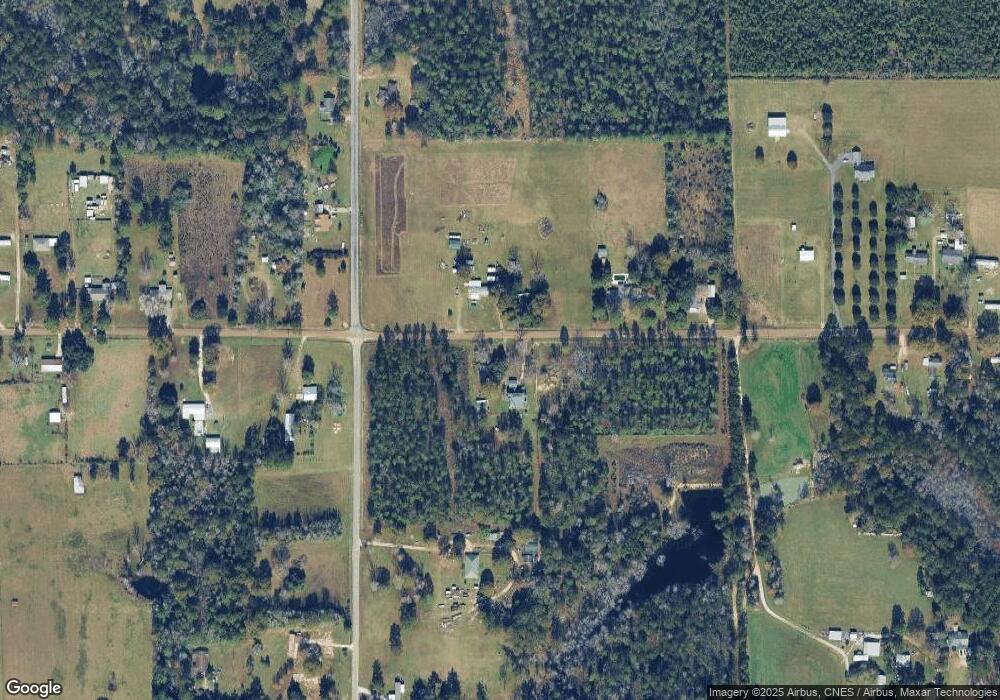
9504 Lewis Rd Deridder, LA 70634
Estimated Value: $325,000 - $470,595
4
Beds
3
Baths
4,060
Sq Ft
$94/Sq Ft
Est. Value
About This Home
This home is located at 9504 Lewis Rd, Deridder, LA 70634 and is currently estimated at $382,532, approximately $94 per square foot. 9504 Lewis Rd is a home located in Vernon Parish.
Ownership History
Date
Name
Owned For
Owner Type
Purchase Details
Closed on
Nov 30, 2016
Sold by
Meadows Robert Steven and Wynn Meadows Valere Jo
Bought by
James Michael David
Current Estimated Value
Home Financials for this Owner
Home Financials are based on the most recent Mortgage that was taken out on this home.
Original Mortgage
$450,000
Outstanding Balance
$362,805
Interest Rate
3.47%
Mortgage Type
Credit Line Revolving
Estimated Equity
$19,727
Purchase Details
Closed on
Apr 19, 2012
Sold by
Keel Tori Daniele Williams and Keel Marlon Todd
Bought by
Meadows Valerie Jo Wynn and Meadows Robert Steven
Home Financials for this Owner
Home Financials are based on the most recent Mortgage that was taken out on this home.
Original Mortgage
$240,350
Interest Rate
4.11%
Mortgage Type
Stand Alone First
Create a Home Valuation Report for This Property
The Home Valuation Report is an in-depth analysis detailing your home's value as well as a comparison with similar homes in the area
Home Values in the Area
Average Home Value in this Area
Purchase History
| Date | Buyer | Sale Price | Title Company |
|---|---|---|---|
| James Michael David | -- | None Available | |
| Meadows Valerie Jo Wynn | $253,000 | -- |
Source: Public Records
Mortgage History
| Date | Status | Borrower | Loan Amount |
|---|---|---|---|
| Open | James Michael David | $450,000 | |
| Previous Owner | Meadows Valerie Jo Wynn | $240,350 | |
| Previous Owner | Meadows Valerie Jo Wynn | $253,000 |
Source: Public Records
Tax History Compared to Growth
Tax History
| Year | Tax Paid | Tax Assessment Tax Assessment Total Assessment is a certain percentage of the fair market value that is determined by local assessors to be the total taxable value of land and additions on the property. | Land | Improvement |
|---|---|---|---|---|
| 2024 | $5,217 | $40,570 | $810 | $39,760 |
| 2023 | $4,880 | $40,630 | $770 | $39,860 |
| 2022 | $3,464 | $26,170 | $740 | $25,430 |
| 2021 | $3,572 | $26,170 | $740 | $25,430 |
| 2020 | $3,544 | $26,170 | $740 | $25,430 |
| 2019 | $3,589 | $26,160 | $730 | $25,430 |
| 2018 | $3,554 | $26,160 | $730 | $25,430 |
| 2017 | $3,556 | $26,160 | $730 | $25,430 |
| 2015 | $2,681 | $19,520 | $520 | $19,000 |
| 2014 | $3,042 | $22,770 | $520 | $22,250 |
| 2013 | $954 | $7,020 | $520 | $6,500 |
Source: Public Records
Map
Nearby Homes
- 10330 Lewis Rd
- 1439 Louisiana 3226
- 2385 Rainwater Rd Unit Road
- 2389 Glendale Rd
- 549 Wingate Rd
- 0 Tbd Land Bayou Pines Lot 57
- 0 Stillwood
- 1938 Glendale Rd
- 341 Carl Thompson Rd
- 2108 Pear St Unit Street
- 2108 Pear St
- 3610 U S 190
- 2107 Peach St
- 3460 U S 190
- 3434 U S 190
- 190 Blue Ridge Rd Unit Blue Ridge
- 131 Eagle Point Dr
- 2570 U S 190
- 0 Glendale Rd
- 1598 Glendale Rd
- 9544 Lewis Rd
- 12479 Lewis Rd
- 12304 Lewis Rd
- 12388 Lewis Rd
- 12292 Lewis Rd
- 252 Simpson Rd
- 189 Simpson Rd
- 3056 Cypress Church Rd
- 188 Simpson Rd
- 249 Simpson Rd
- 0 Cypress Church Rd Unit 15-112
- 0 Cypress Church Rd Unit 15-3261
- 0 Cypress Church Rd Unit RD
- 2805 Cypress Church Rd
- 12089 Lewis Rd
- 12074 Lewis Rd
- 2866 Cypress Church Rd
- 206 Snapp Ln
- 9854 Lewis Rd
- 12157 Lewis Rd
