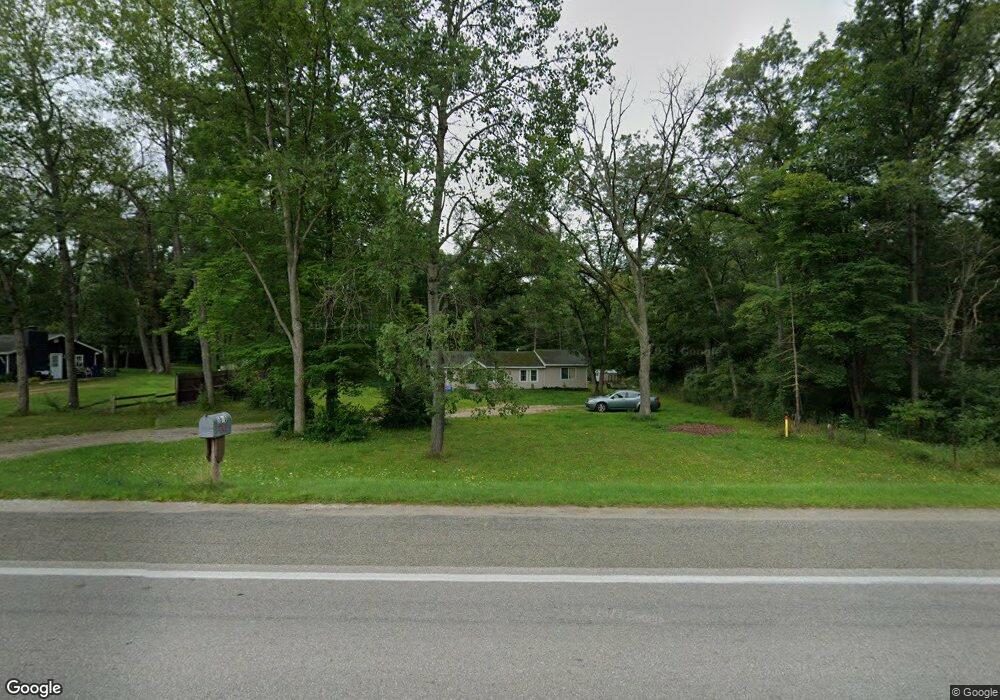
9505 E Us Highway 10 Branch, MI 49402
Estimated Value: $126,946 - $280,000
3
Beds
1
Bath
1,300
Sq Ft
$134/Sq Ft
Est. Value
About This Home
This home is located at 9505 E Us Highway 10, Branch, MI 49402 and is currently estimated at $174,487, approximately $134 per square foot. 9505 E Us Highway 10 is a home located in Mason County with nearby schools including Mason County Eastern Elementary School and Mason County Eastern Middle/High School.
Ownership History
Date
Name
Owned For
Owner Type
Purchase Details
Closed on
Jun 26, 2020
Sold by
Wheaton Wayne B and Wheaton Tonya L
Bought by
Maeur Derek
Current Estimated Value
Home Financials for this Owner
Home Financials are based on the most recent Mortgage that was taken out on this home.
Original Mortgage
$46,969
Outstanding Balance
$41,726
Interest Rate
3.2%
Mortgage Type
New Conventional
Estimated Equity
$132,761
Purchase Details
Closed on
Oct 5, 2005
Sold by
Gmac Mortgage Corp
Bought by
Wheaton Wayne B and Wheaton Tonya L
Home Financials for this Owner
Home Financials are based on the most recent Mortgage that was taken out on this home.
Original Mortgage
$70,000
Interest Rate
5.89%
Mortgage Type
Future Advance Clause Open End Mortgage
Purchase Details
Closed on
Jul 23, 2004
Sold by
Perrigan Greg and Gonzalez Rosalinda
Bought by
Gmac Mortgage Corp
Purchase Details
Closed on
Dec 1, 1999
Create a Home Valuation Report for This Property
The Home Valuation Report is an in-depth analysis detailing your home's value as well as a comparison with similar homes in the area
Purchase History
| Date | Buyer | Sale Price | Title Company |
|---|---|---|---|
| Maeur Derek | $46,500 | None Available | |
| Wheaton Wayne B | $29,900 | None Available | |
| Gmac Mortgage Corp | $44,156 | -- | |
| -- | $50,000 | -- |
Source: Public Records
Mortgage History
| Date | Status | Borrower | Loan Amount |
|---|---|---|---|
| Open | Maeur Derek | $46,969 | |
| Previous Owner | Wheaton Wayne B | $70,000 |
Source: Public Records
Tax History Compared to Growth
Tax History
| Year | Tax Paid | Tax Assessment Tax Assessment Total Assessment is a certain percentage of the fair market value that is determined by local assessors to be the total taxable value of land and additions on the property. | Land | Improvement |
|---|---|---|---|---|
| 2025 | $841 | $53,600 | $53,600 | $0 |
| 2024 | -- | $49,300 | $49,300 | $0 |
| 2023 | -- | $39,400 | $39,400 | $0 |
Source: Public Records
Map
Nearby Homes
- 8570 U S 10
- 0 N Tyndall Rd
- 7832 E Us Highway 10
- 7819 E Chickasaw Trail
- 7460 U S 10
- 161 N Jackpine Rd
- 9554 Highway 10 NW
- 7100 Wever Rd
- 105 N Mike St
- 395 N Campbell Rd
- 3077 S Tyndall Rd
- 8747 E Kinney Rd
- 1754 Maggie St
- 1820 S Reid Rd
- V/L 20A N Campbell Rd
- V/L 1.47A N Tallman Lake Rd
- 2261 N Tallman Lake Rd
- V L 1 47a North Tallman Lake Rd
- 6710 W Dana's Cir
- 6815 W Dana's Cir
- 9525 U S 10
- 9525 E Us Highway 10
- 9539 E Us Highway 10
- 9539 E Us Highway 10
- 9455 U S 10
- 9555 E Us Highway 10
- 9506 U S 10
- 9575 U S 10
- 477 S Tyndall Rd
- 477 S Tyndall Rd
- 461 S Tyndall Rd
- 0 W Us 10 Unit M13049681
- 0 W Us 10
- 0 W Us 10
- 0 E Us 10
- 11987 U S 10
- 11987 W Us Highway 10
- 9434 E Us Highway 10
- 497 S Tyndall Rd
- 3044 S Tyndall Rd