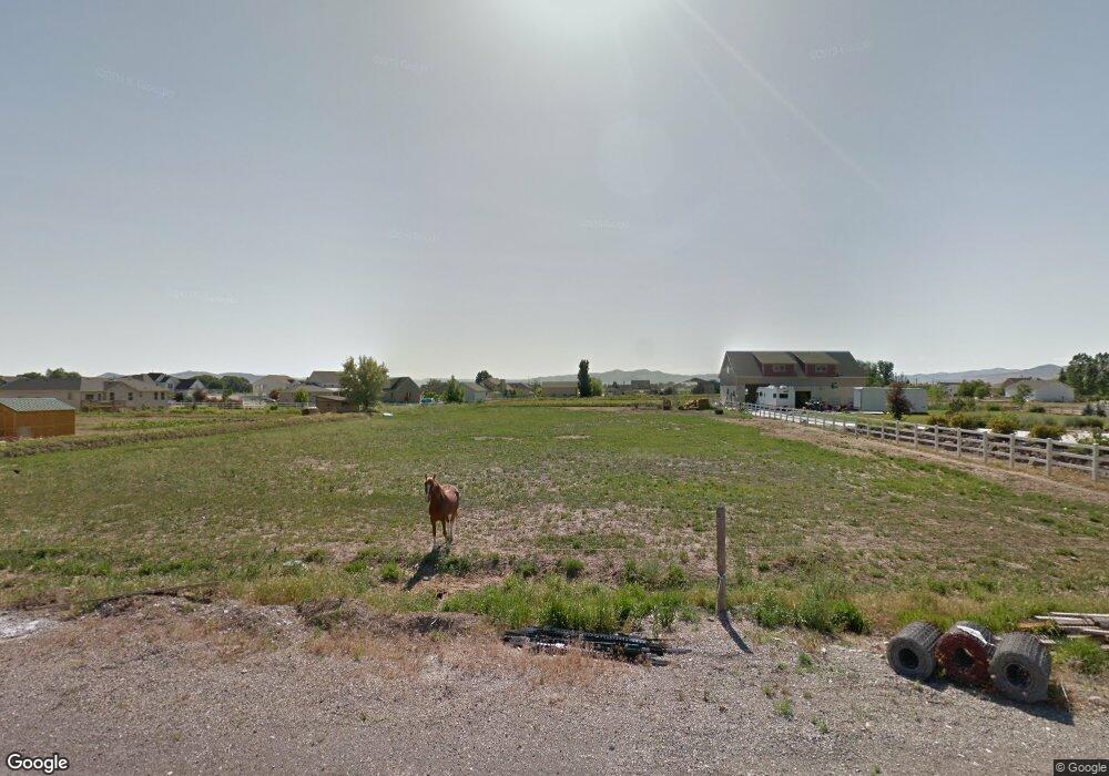
9505 N 4200 W Tremonton, UT 84337
Estimated Value: $758,000 - $904,398
--
Bed
--
Bath
--
Sq Ft
1.28
Acres
About This Home
This home is located at 9505 N 4200 W, Tremonton, UT 84337 and is currently estimated at $862,350. 9505 N 4200 W is a home with nearby schools including McKinley School, Bear River Middle School, and Alice C. Harris Intermediate School.
Ownership History
Date
Name
Owned For
Owner Type
Purchase Details
Closed on
May 20, 2020
Sold by
Gardner Ricky L and Gardner Carissa P
Bought by
Gardner Ricky and Gardner Carissa
Current Estimated Value
Purchase Details
Closed on
Apr 12, 2010
Sold by
Owen Iva and Owen Neil
Bought by
Stocking Jay B
Home Financials for this Owner
Home Financials are based on the most recent Mortgage that was taken out on this home.
Original Mortgage
$50,000
Outstanding Balance
$33,318
Interest Rate
5.01%
Mortgage Type
Unknown
Estimated Equity
$829,032
Purchase Details
Closed on
Sep 7, 2007
Sold by
Ravsten Lola R
Bought by
Owen Iva and Owen Neil
Create a Home Valuation Report for This Property
The Home Valuation Report is an in-depth analysis detailing your home's value as well as a comparison with similar homes in the area
Home Values in the Area
Average Home Value in this Area
Purchase History
| Date | Buyer | Sale Price | Title Company |
|---|---|---|---|
| Gardner Ricky | -- | None Available | |
| Stocking Jay B | -- | -- | |
| Owen Iva | -- | Box Elder Land Title Ins Age |
Source: Public Records
Mortgage History
| Date | Status | Borrower | Loan Amount |
|---|---|---|---|
| Open | Stocking Jay B | $50,000 |
Source: Public Records
Tax History Compared to Growth
Tax History
| Year | Tax Paid | Tax Assessment Tax Assessment Total Assessment is a certain percentage of the fair market value that is determined by local assessors to be the total taxable value of land and additions on the property. | Land | Improvement |
|---|---|---|---|---|
| 2025 | $4,019 | $870,879 | $138,400 | $732,479 |
| 2024 | $4,019 | $851,927 | $136,400 | $715,527 |
| 2023 | $4,045 | $879,308 | $138,360 | $740,948 |
| 2022 | $4,022 | $446,279 | $29,348 | $416,931 |
| 2021 | $3,439 | $602,659 | $53,360 | $549,299 |
| 2020 | $3,493 | $602,659 | $53,360 | $549,299 |
| 2019 | $3,157 | $6,720 | $3,360 | $3,360 |
| 2018 | $3,358 | $284,134 | $22,075 | $262,059 |
| 2017 | $3,479 | $514,725 | $22,075 | $476,470 |
| 2016 | $3,417 | $271,655 | $22,075 | $249,580 |
| 2015 | $492 | $38,255 | $38,255 | $0 |
| 2014 | $492 | $38,255 | $38,255 | $0 |
| 2013 | -- | $38,255 | $35,955 | $2,300 |
Source: Public Records
Map
Nearby Homes
- 4693 W 9120 N
- 9449 N Powerline Rd Unit 2
- 9605 N Highway 38
- 8325 N 3600 W
- 8185 N 4600 W
- 9290 N 5600 W Unit 5
- 9270 N 5600 W Unit 7
- 9480 N 5600 W
- Emerson 1797 Plan at The Estates At Riverview - The Estates
- Ridge Plan at The Estates At Riverview - The Estates
- 4677 W 8100 N
- 9190 N 6000 W
- 10135 N Highway 38
- 1215 S 100 E
- 50 E 1225 S
- Harvest Village Plan at Harvest Village Townhome Community - Harvest Village
- 181 W 1300 S Unit 31
- 9835 N Highway 38 Unit 11
- 9791 N Highway 38 Unit 10
- 9743 N Highway 38 Unit 8