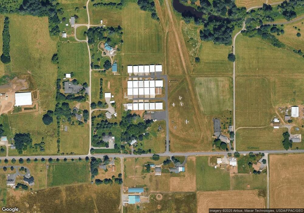
9506 NE 279th St Unit 21 Battle Ground, WA 98604
Estimated Value: $743,199 - $965,000
3
Beds
3
Baths
1,712
Sq Ft
$497/Sq Ft
Est. Value
About This Home
This home is located at 9506 NE 279th St Unit 21, Battle Ground, WA 98604 and is currently estimated at $850,300, approximately $496 per square foot. 9506 NE 279th St Unit 21 is a home located in Clark County with nearby schools including Daybreak Primary School, Daybreak Middle School, and Battle Ground High School.
Ownership History
Date
Name
Owned For
Owner Type
Purchase Details
Closed on
Oct 21, 2020
Sold by
Goheen Barbara
Bought by
Swonger Christina Kaye and Amber Island Living Trust
Current Estimated Value
Purchase Details
Closed on
Jun 12, 2019
Sold by
Swonger Christina
Bought by
Goheen Barbara
Purchase Details
Closed on
Jul 21, 2010
Sold by
Goheen Gordon C
Bought by
Goheen Gordon C and Goheen Barbara K
Create a Home Valuation Report for This Property
The Home Valuation Report is an in-depth analysis detailing your home's value as well as a comparison with similar homes in the area
Home Values in the Area
Average Home Value in this Area
Purchase History
| Date | Buyer | Sale Price | Title Company |
|---|---|---|---|
| Swonger Christina Kaye | -- | None Available | |
| Goheen Barbara | -- | None Available | |
| Goheen Gordon C | -- | None Available |
Source: Public Records
Tax History Compared to Growth
Tax History
| Year | Tax Paid | Tax Assessment Tax Assessment Total Assessment is a certain percentage of the fair market value that is determined by local assessors to be the total taxable value of land and additions on the property. | Land | Improvement |
|---|---|---|---|---|
| 2025 | $6,779 | $788,973 | $248,587 | $540,386 |
| 2024 | $6,021 | $762,339 | $248,587 | $513,752 |
| 2023 | $6,690 | $721,343 | $203,592 | $517,751 |
| 2022 | $5,819 | $781,710 | $203,592 | $578,118 |
| 2021 | $5,723 | $630,524 | $174,017 | $456,507 |
| 2020 | $5,401 | $566,357 | $166,302 | $400,055 |
| 2019 | $4,728 | $523,829 | $159,873 | $363,956 |
| 2018 | $5,724 | $525,067 | $0 | $0 |
| 2017 | $4,994 | $486,602 | $0 | $0 |
| 2016 | $4,725 | $460,966 | $0 | $0 |
| 2015 | $4,620 | $401,831 | $0 | $0 |
| 2014 | -- | $374,218 | $0 | $0 |
| 2013 | -- | $345,216 | $0 | $0 |
Source: Public Records
Map
Nearby Homes
- 28108 NE 82nd Ave
- 27203 NE 103rd Ave
- 8110 NE 272nd Cir
- 9827 NE 299th St
- 11221 NE 279th St
- 28900 NE 112th Ave
- 26619 NE 77th Ave
- 7003 NE 279th St
- 9606 NE 255th Cir
- 11700 NE 279th St
- 7500 NE 299th St
- 9701 NE 299th St
- 11200 NE Gren Fels Dr
- 31305 NE 95th Ave
- 5911 NE 289th St
- 0 NE 279th St Unit 717779825
- 0 NE 279th St Unit 24075001
- 0 NE 279th St Unit 24073819
- 0 NE 279th St Unit 24101609
- 29311 NE 124th Ave
- 9506 NE 279th St
- 28012 NE 93rd Ct
- 0 NE 93rd Ct
- 28011 NE 91st Ave
- 27909 NE 91st Ave
- 28201 NE 91st Ave
- 28010 NE 91st Ave
- 9105 NE 279th St
- 28106 NE 91st Ave
- 9317 NE 279th St
- 27816 NE 97th Ave
- 8806 NE 279th St
- 8806 NE 279th St
- 9716 NE 279th St
- 28316 NE 96th Ave
- 8707 NE 279th St
- 8613 NE 279th St
- 9000 NE 275th St
- 8518 NE 279th St
- 8818 NE 275th St
