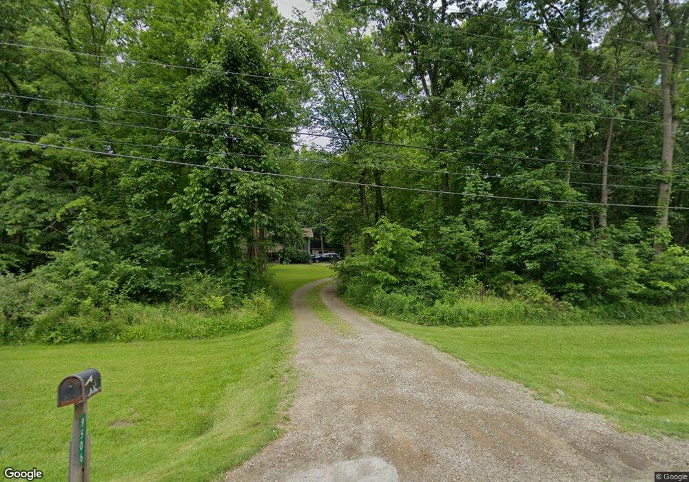
9506 Wadsworth Rd Marshallville, OH 44645
Estimated Value: $307,182 - $363,000
4
Beds
2
Baths
2,412
Sq Ft
$139/Sq Ft
Est. Value
About This Home
This home is located at 9506 Wadsworth Rd, Marshallville, OH 44645 and is currently estimated at $335,046, approximately $138 per square foot. 9506 Wadsworth Rd is a home located in Wayne County with nearby schools including Norwayne Elementary School, Norwayne Middle School, and Norwayne High School.
Ownership History
Date
Name
Owned For
Owner Type
Purchase Details
Closed on
Sep 14, 2010
Sold by
Household Realty Corporation
Bought by
Jarvis Brittany
Current Estimated Value
Home Financials for this Owner
Home Financials are based on the most recent Mortgage that was taken out on this home.
Original Mortgage
$126,299
Interest Rate
4.5%
Mortgage Type
FHA
Purchase Details
Closed on
Sep 15, 1992
Sold by
Hartman Wilmer J and Hartman Lois A
Bought by
Begert Mary C
Create a Home Valuation Report for This Property
The Home Valuation Report is an in-depth analysis detailing your home's value as well as a comparison with similar homes in the area
Home Values in the Area
Average Home Value in this Area
Purchase History
| Date | Buyer | Sale Price | Title Company |
|---|---|---|---|
| Jarvis Brittany | $128,000 | Attorney | |
| Begert Mary C | $120,000 | -- |
Source: Public Records
Mortgage History
| Date | Status | Borrower | Loan Amount |
|---|---|---|---|
| Previous Owner | Jarvis Brittany | $126,299 |
Source: Public Records
Tax History Compared to Growth
Tax History
| Year | Tax Paid | Tax Assessment Tax Assessment Total Assessment is a certain percentage of the fair market value that is determined by local assessors to be the total taxable value of land and additions on the property. | Land | Improvement |
|---|---|---|---|---|
| 2024 | $3,505 | $92,230 | $16,310 | $75,920 |
| 2023 | $3,505 | $92,230 | $16,310 | $75,920 |
| 2022 | $2,746 | $69,350 | $12,260 | $57,090 |
| 2021 | $2,782 | $69,350 | $12,260 | $57,090 |
| 2020 | $2,800 | $69,350 | $12,260 | $57,090 |
| 2019 | $2,343 | $56,020 | $11,040 | $44,980 |
| 2018 | $2,325 | $56,020 | $11,040 | $44,980 |
| 2017 | $2,236 | $56,020 | $11,040 | $44,980 |
| 2016 | $2,193 | $53,350 | $10,510 | $42,840 |
| 2015 | $2,165 | $53,350 | $10,510 | $42,840 |
| 2014 | $2,118 | $53,350 | $10,510 | $42,840 |
| 2013 | $2,218 | $54,320 | $10,090 | $44,230 |
Source: Public Records
Map
Nearby Homes
- 25 Gloria Ave
- 19 Gloria Ave
- 24 Monique Cir
- 9675 Yoder Rd
- 32 E Market St
- 8664 Akron Rd
- 10659 Fox Lake Rd
- 12422 Portage St
- 12098 Porr Rd
- 98 Strawberry Hill
- 10 Windsor Mews
- 10670 Coal Bank Rd
- 0 Warwick Rd
- 11657 Back Massillon Rd
- 56 Salt St
- 70 Salt St
- 54 Salt St
- 1701 Wheat Ridge Dr
- 14990 Back Massillon Rd
- 166 S Main St
- 9552 Wadsworth Rd
- 9456 Wadsworth Rd
- 9485 Wadsworth Rd
- 11827 E Pleasant Home Rd
- 9403 Wadsworth Rd
- 11811 E Pleasant Home Rd
- 12161 Pleasant Home Rd
- 12141 Pleasant Home Rd
- 11830 E Pleasant Home Rd
- 11830 E Pleasant Home Rd
- 9375 Wadsworth Rd
- 9349 Wadsworth Rd
- 9310 Wadsworth Rd
- 9313 Wadsworth Rd
- 9280 Wadsworth Rd
- 11719 Pleasant Home Rd
- 9248 Wadsworth Rd
- 12207 Pleasant Home Rd
- 11724 E Pleasant Home Rd
- 11627 E Pleasant Home Rd