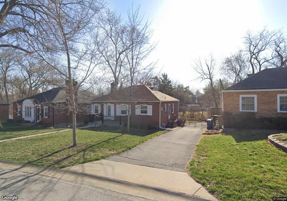
9508 Plainfield Dr Saint Louis, MO 63119
Estimated Value: $255,199 - $285,000
2
Beds
1
Bath
1,015
Sq Ft
$265/Sq Ft
Est. Value
About This Home
This home is located at 9508 Plainfield Dr, Saint Louis, MO 63119 and is currently estimated at $269,300, approximately $265 per square foot. 9508 Plainfield Dr is a home located in St. Louis County with nearby schools including Hudson Elementary School, Hixson Middle School, and Webster Groves High School.
Ownership History
Date
Name
Owned For
Owner Type
Purchase Details
Closed on
Aug 12, 1999
Sold by
Wolfender Velma B and Wolfender Michael
Bought by
Kelly Jerry C and Place Arletta J
Current Estimated Value
Home Financials for this Owner
Home Financials are based on the most recent Mortgage that was taken out on this home.
Original Mortgage
$60,000
Interest Rate
7.25%
Create a Home Valuation Report for This Property
The Home Valuation Report is an in-depth analysis detailing your home's value as well as a comparison with similar homes in the area
Home Values in the Area
Average Home Value in this Area
Purchase History
| Date | Buyer | Sale Price | Title Company |
|---|---|---|---|
| Kelly Jerry C | $75,000 | Capital Title |
Source: Public Records
Mortgage History
| Date | Status | Borrower | Loan Amount |
|---|---|---|---|
| Previous Owner | Kelly Jerry C | $60,000 |
Source: Public Records
Tax History
| Year | Tax Paid | Tax Assessment Tax Assessment Total Assessment is a certain percentage of the fair market value that is determined by local assessors to be the total taxable value of land and additions on the property. | Land | Improvement |
|---|---|---|---|---|
| 2025 | $2,991 | $48,440 | $24,590 | $23,850 |
| 2024 | $2,991 | $41,460 | $19,130 | $22,330 |
| 2023 | $3,026 | $41,460 | $19,130 | $22,330 |
| 2022 | $2,800 | $35,800 | $16,400 | $19,400 |
| 2021 | $2,783 | $35,800 | $16,400 | $19,400 |
| 2020 | $2,719 | $33,440 | $16,400 | $17,040 |
| 2019 | $2,703 | $33,440 | $16,400 | $17,040 |
| 2018 | $2,381 | $25,840 | $13,320 | $12,520 |
| 2017 | $2,369 | $25,840 | $13,320 | $12,520 |
| 2016 | $2,651 | $27,630 | $11,420 | $16,210 |
Source: Public Records
Map
Nearby Homes
- 2918 Wingate Ct
- 203 Almentor Ave
- 619 N Rock Hill Rd
- 112 W Thornton Ave
- 321 Madison Ave
- 9719 Stanley Ave
- 815 Cornell Ave
- 9241 Merritt Ave
- 9239 Merritt Ave
- 515 Crestvale Dr
- 615 Cornell Ave
- 2714 McKnight Crossing Ct
- 2706 McKnight Crossing Ct
- 433 Bismark Ave
- 1048 Martha Ln
- 2837 Manderly Dr
- 2716 McKnight Crossing Ct Unit 114
- 519 Bismark Ave
- 500 Cornell Ave
- 1146 Kortwright Ave
- 9504 Plainfield Dr
- 9512 Plainfield Dr
- 9516 Plainfield Dr
- 9500 Plainfield Dr
- 2926 Wingate Ct
- 9520 Plainfield Dr
- 9454 Plainfield Dr
- 2922 Wingate Ct
- 9524 Plainfield Dr
- 2925 Middlebush Ct
- 9450 Plainfield Dr
- 2925 Wingate Ct
- 9528 Plainfield Dr
- 219 Almentor Ave
- 9446 Plainfield Dr
- 2921 Wingate Ct
- 2921 Middlebush Ct
- 2914 Wingate Ct
- 218 Almentor Ave
- 9442 Plainfield Dr
Your Personal Tour Guide
Ask me questions while you tour the home.