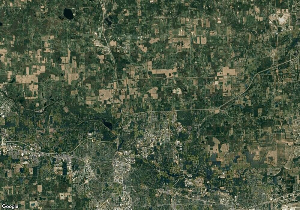
950IN Rd Rd Ann Arbor, MI 48105
Estimated Value: $995,000 - $1,480,408
5
Beds
3
Baths
3,353
Sq Ft
$369/Sq Ft
Est. Value
About This Home
This home is located at 950IN Rd Rd, Ann Arbor, MI 48105 and is currently estimated at $1,237,704, approximately $369 per square foot. 950IN Rd Rd is a home with nearby schools including Wines Elementary School, Forsythe Middle School, and Skyline High School.
Ownership History
Date
Name
Owned For
Owner Type
Purchase Details
Closed on
Sep 7, 2010
Sold by
Dieterle Richard V A and Hertenstein Karen L
Bought by
Dieterle Richard V A and Richard V A Dieterle Trust
Current Estimated Value
Create a Home Valuation Report for This Property
The Home Valuation Report is an in-depth analysis detailing your home's value as well as a comparison with similar homes in the area
Home Values in the Area
Average Home Value in this Area
Purchase History
| Date | Buyer | Sale Price | Title Company |
|---|---|---|---|
| Dieterle Richard V A | -- | None Available |
Source: Public Records
Tax History Compared to Growth
Tax History
| Year | Tax Paid | Tax Assessment Tax Assessment Total Assessment is a certain percentage of the fair market value that is determined by local assessors to be the total taxable value of land and additions on the property. | Land | Improvement |
|---|---|---|---|---|
| 2025 | $2,876 | $580,700 | $0 | $0 |
| 2024 | $5,790 | $551,200 | $0 | $0 |
| 2023 | $5,558 | $491,100 | $0 | $0 |
| 2022 | $7,905 | $462,700 | $0 | $0 |
| 2021 | $7,742 | $432,100 | $0 | $0 |
| 2020 | $7,873 | $430,940 | $0 | $0 |
| 2019 | $7,415 | $421,360 | $421,360 | $0 |
| 2018 | $7,349 | $393,970 | $323,430 | $70,540 |
| 2017 | $7,063 | $388,210 | $0 | $0 |
| 2016 | $4,642 | $178,116 | $0 | $0 |
| 2015 | -- | $177,584 | $0 | $0 |
| 2014 | -- | $172,036 | $0 | $0 |
| 2013 | -- | $172,036 | $0 | $0 |
Source: Public Records
Map
Nearby Homes
- 2277 W Huron River Dr
- 341 Corrie Rd
- 102 Samara Lane Ct
- 3470 Maple Ridge Dr
- 3440 Maple Ridge Dr
- 3250 Oak Hollow Dr
- 3415 Maple Ridge Dr
- Morenci Plan at Barton Ridge
- Brant Plan at Barton Ridge
- Haslett Plan at Barton Ridge
- Alma Plan at Barton Ridge
- Decker Plan at Barton Ridge
- 2650 White Oak Dr
- 2693 Laurentide Dr
- 3500 Pontiac Trail
- 2208 Applewood Ct
- 2136 Newport Rd
- 2865 Dillon Dr
- 1717 Cedar Ln
- 2108 Newport Rd
- 870 Stein Rd
- 850 Stein Rd
- 1080 Stein Rd
- 750 Stein Rd
- 650 Stein Rd
- 1415IN Rd Rd
- 0 Hellner Rd Unit 218030489
- 0 Hellner Rd Unit 4296159
- 0 Hellner Rd Unit 909669
- 0 Hellner Rd Unit 4957260
- 0 Hellner Rd Unit 4972707
- 0 Hellner Rd Unit 4697480
- 0 Hellner Rd Unit 4701085
- 0 Hellner Rd Unit 4718925
- 0 Hellner Rd Unit 5571456
- 0 Hellner Rd Unit 214055741
- 0 Hellner Rd Unit 215010651
- 0 Hellner Rd Unit 3228419
- 0 Hellner Rd Unit 3230885
- 0 Hellner Rd Unit 3233630
