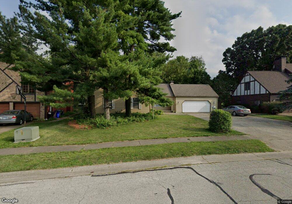
951 Bunker Ln Decatur, IL 62526
Cresthaven NeighborhoodEstimated Value: $257,000 - $282,298
3
Beds
4
Baths
3,797
Sq Ft
$70/Sq Ft
Est. Value
About This Home
This home is located at 951 Bunker Ln, Decatur, IL 62526 and is currently estimated at $267,325, approximately $70 per square foot. 951 Bunker Ln is a home located in Macon County with nearby schools including Parsons Elementary School, Stephen Decatur Middle School, and Our Lady of Lourdes School.
Ownership History
Date
Name
Owned For
Owner Type
Purchase Details
Closed on
May 26, 2005
Sold by
Heard James Robert and Heard Barbara C
Bought by
Munoz Joseph Mark and Munoz Melanie B
Current Estimated Value
Home Financials for this Owner
Home Financials are based on the most recent Mortgage that was taken out on this home.
Original Mortgage
$166,400
Interest Rate
6.62%
Mortgage Type
New Conventional
Purchase Details
Closed on
May 1, 1984
Create a Home Valuation Report for This Property
The Home Valuation Report is an in-depth analysis detailing your home's value as well as a comparison with similar homes in the area
Home Values in the Area
Average Home Value in this Area
Purchase History
| Date | Buyer | Sale Price | Title Company |
|---|---|---|---|
| Munoz Joseph Mark | $208,000 | Decatur Title Co Llc | |
| -- | $170,000 | -- |
Source: Public Records
Mortgage History
| Date | Status | Borrower | Loan Amount |
|---|---|---|---|
| Previous Owner | Munoz Joseph Mark | $166,400 |
Source: Public Records
Tax History Compared to Growth
Tax History
| Year | Tax Paid | Tax Assessment Tax Assessment Total Assessment is a certain percentage of the fair market value that is determined by local assessors to be the total taxable value of land and additions on the property. | Land | Improvement |
|---|---|---|---|---|
| 2024 | $8,302 | $90,085 | $10,631 | $79,454 |
| 2023 | $7,737 | $82,814 | $9,773 | $73,041 |
| 2022 | $7,315 | $76,807 | $9,064 | $67,743 |
| 2021 | $6,894 | $72,458 | $8,475 | $63,983 |
| 2020 | $6,929 | $70,960 | $8,300 | $62,660 |
| 2019 | $6,929 | $70,960 | $8,300 | $62,660 |
| 2018 | $6,895 | $71,467 | $8,359 | $63,108 |
| 2017 | $6,922 | $71,866 | $8,406 | $63,460 |
| 2016 | $6,991 | $72,039 | $8,426 | $63,613 |
| 2015 | $6,667 | $71,185 | $8,326 | $62,859 |
| 2014 | $6,248 | $71,185 | $8,326 | $62,859 |
| 2013 | $6,576 | $74,864 | $8,326 | $66,538 |
Source: Public Records
Map
Nearby Homes
- 4643 Nicklaus Ct
- 4444 N Adams Dr
- 619 Arthur Ct
- 810 Sarah Dr
- 4499 Lawson Dr
- 4616 Lawson Dr
- 4074 Sheffield Ct
- 880 W Frank Dr
- 4636 Lawson Dr
- 933 W Frank Dr
- 3981 N Northbrook Dr
- 365 W Ash Ave
- 278 W Brown Ave
- 0 Route 51 Unit 6241333
- 416 Southampton Dr
- 235 W Ash Ave
- 204 Newcastle Dr
- 16 Surrey Ln
- 1225 W Pineview Ct
- 3707 N Woodridge Dr
- 961 Bunker Ln
- 931 Bunker Ln
- 960 Bunker Ln
- 930 Bunker Ln
- 991 Bunker Ln
- 990 Bunker Ln
- 901 Bunker Ln
- 4473 Palmer Ct
- 1010 Bunker Ln
- 4539 Palmer Ct
- 1021 Bunker Ln
- 1020 Bunker Ln
- 4423 Palmer Ct
- 4520 Palmer Ct
- 4508 Mission Dr
- 4525 Cresthaven Ln
- 4545 Cresthaven Ln
- 1030 Bunker Ln
- 4540 Palmer Ct
- 1031 Bunker Ln