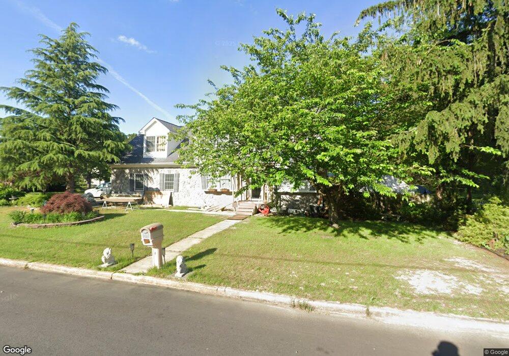
951 Cummings Ave Blackwood, NJ 08012
Estimated Value: $322,000 - $520,000
--
Bed
--
Bath
2,577
Sq Ft
$180/Sq Ft
Est. Value
About This Home
This home is located at 951 Cummings Ave, Blackwood, NJ 08012 and is currently estimated at $464,106, approximately $180 per square foot. 951 Cummings Ave is a home located in Camden County with nearby schools including Glen Landing Middle School, Triton High School, and St. Teresa Regional School.
Ownership History
Date
Name
Owned For
Owner Type
Purchase Details
Closed on
Jul 5, 2001
Sold by
Campbell George S
Bought by
Francis Anna I
Current Estimated Value
Home Financials for this Owner
Home Financials are based on the most recent Mortgage that was taken out on this home.
Original Mortgage
$38,000
Outstanding Balance
$14,687
Interest Rate
7.18%
Estimated Equity
$449,419
Create a Home Valuation Report for This Property
The Home Valuation Report is an in-depth analysis detailing your home's value as well as a comparison with similar homes in the area
Home Values in the Area
Average Home Value in this Area
Purchase History
| Date | Buyer | Sale Price | Title Company |
|---|---|---|---|
| Francis Anna I | $40,000 | -- |
Source: Public Records
Mortgage History
| Date | Status | Borrower | Loan Amount |
|---|---|---|---|
| Open | Francis Anna I | $38,000 |
Source: Public Records
Tax History Compared to Growth
Tax History
| Year | Tax Paid | Tax Assessment Tax Assessment Total Assessment is a certain percentage of the fair market value that is determined by local assessors to be the total taxable value of land and additions on the property. | Land | Improvement |
|---|---|---|---|---|
| 2025 | $12,551 | $298,400 | $71,600 | $226,800 |
| 2024 | $12,199 | $298,400 | $71,600 | $226,800 |
| 2023 | $12,199 | $298,400 | $71,600 | $226,800 |
| 2022 | $12,139 | $298,400 | $71,600 | $226,800 |
| 2021 | $11,882 | $298,400 | $71,600 | $226,800 |
| 2020 | $11,882 | $298,400 | $71,600 | $226,800 |
| 2019 | $11,626 | $298,400 | $71,600 | $226,800 |
| 2018 | $11,584 | $298,400 | $71,600 | $226,800 |
| 2017 | $11,217 | $298,400 | $71,600 | $226,800 |
| 2016 | $10,969 | $298,400 | $71,600 | $226,800 |
| 2015 | $10,184 | $344,900 | $71,600 | $273,300 |
| 2014 | $11,706 | $344,900 | $71,600 | $273,300 |
Source: Public Records
Map
Nearby Homes
- 239 Woodland Ave
- 571 Almonesson Rd
- 28 Hemlock Dr
- 276 Crestview Ave
- 221 Clementon Ave
- 200 W Landing Rd
- 5 Heathrow Ct
- 2 Katherine Ct
- 415 Rankin Ave
- Juniper Plan at Windy Hill Towns
- 87 Oak Ave
- 59 Erial Rd
- 436 Rankin Ave
- 360 Lower Landing Rd
- 432 Oak Ave
- 439 Pine Ave
- 1284 Hurffville Rd
- 427 Fern Ave
- 1280 Hurffville Rd
- 429 Fern Ave
- 941 Cummings Ave
- 348 Woodland Ave
- 371 Woodland Ave
- 353 Woodland Ave
- 950 Cummings Ave
- 345 Woodland Ave
- 933 Cummings Ave
- 940 Cummings Ave
- 962 Cummings Ave
- 991 Cummings Ave
- 403 Oak Ave
- 337 Woodland Ave
- 322 Woodland Ave
- 970 Cummings Ave
- 927 Cummings Ave
- 415 Oak Ave
- 333 Woodland Ave
- 993 Cummings Ave
- 917 Cummings Ave
- 419 Oak Ave