951 Dove Hunter Rd Deland, FL 32724
North DeLand NeighborhoodEstimated Value: $515,000 - $1,309,440
4
Beds
5
Baths
4,071
Sq Ft
$229/Sq Ft
Est. Value
About This Home
This home is located at 951 Dove Hunter Rd, Deland, FL 32724 and is currently estimated at $933,360, approximately $229 per square foot. 951 Dove Hunter Rd is a home located in Volusia County with nearby schools including George W. Marks Elementary School, Deland High School, and Deland Middle School.
Ownership History
Date
Name
Owned For
Owner Type
Purchase Details
Closed on
Sep 22, 1998
Sold by
Stoudenmire Groves Inc
Bought by
Dye Kurt E and Dye Karen R
Current Estimated Value
Home Financials for this Owner
Home Financials are based on the most recent Mortgage that was taken out on this home.
Original Mortgage
$45,000
Interest Rate
8.22%
Mortgage Type
Purchase Money Mortgage
Purchase Details
Closed on
Jul 15, 1966
Bought by
Dye Kurt E and Dye Karen R
Create a Home Valuation Report for This Property
The Home Valuation Report is an in-depth analysis detailing your home's value as well as a comparison with similar homes in the area
Home Values in the Area
Average Home Value in this Area
Purchase History
| Date | Buyer | Sale Price | Title Company |
|---|---|---|---|
| Dye Kurt E | $85,000 | -- | |
| Dye Kurt E | $100 | -- |
Source: Public Records
Mortgage History
| Date | Status | Borrower | Loan Amount |
|---|---|---|---|
| Previous Owner | Dye Kurt E | $45,000 |
Source: Public Records
Tax History Compared to Growth
Tax History
| Year | Tax Paid | Tax Assessment Tax Assessment Total Assessment is a certain percentage of the fair market value that is determined by local assessors to be the total taxable value of land and additions on the property. | Land | Improvement |
|---|---|---|---|---|
| 2025 | $7,002 | $440,510 | -- | -- |
| 2024 | $7,002 | $428,096 | -- | -- |
| 2023 | $7,002 | $415,628 | $0 | $0 |
| 2022 | $6,789 | $396,606 | $0 | $0 |
| 2021 | $7,082 | $385,054 | $0 | $0 |
| 2020 | $6,994 | $379,738 | $0 | $0 |
| 2019 | $7,265 | $371,200 | $0 | $0 |
| 2018 | $7,291 | $364,279 | $0 | $0 |
| 2017 | $7,367 | $356,786 | $0 | $0 |
| 2016 | $7,061 | $349,448 | $0 | $0 |
| 2015 | $7,211 | $347,019 | $0 | $0 |
| 2014 | $7,141 | $344,265 | $0 | $0 |
Source: Public Records
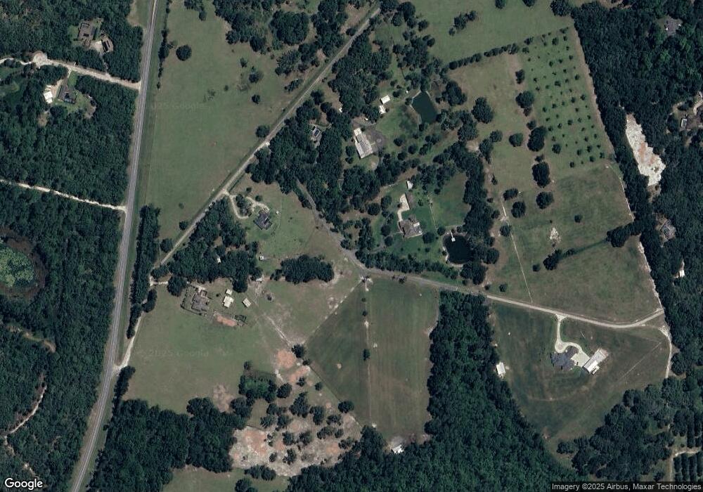
Map
Nearby Homes
- 4370 Grant St
- 3609 Aquamarine Dr
- 3605 Aquamarine Dr
- 3614 Aquamarine Dr
- 3613 Azurite Ct
- 762 Onyx Pkwy
- 3282 Country Ln
- 1061 Marcy Dr
- 1013 Quail Dr
- 1077 Quail Dr
- 924 Quail Dr
- 1020 Quail Dr
- 979 Robin Dr
- 987 Robin Dr
- 1021 Robin Dr
- 1029 Robin Dr
- 1061 Robin Dr
- 3140 Meadowlea Dr
- 1008 Cedar Glen Dr
- 1040 Cedar Glen Dr
- 950 Dove Hunter Rd
- 901 Dove Hunter Rd
- 1020 Stoudenmire Rd
- 3791 State Road 11
- Stoudenmire Rd
- 1001 Dove Hunter Rd
- 1080 Stoudenmire Rd
- 3840 Bird Dog Ln
- 1090 Stoudenmire Rd
- 3860 Bird Dog Ln
- 711 Sunstone Trail
- 710 Sunstone Trail
- 711 Gemstone Trail
- 701 Gemstone Trail
- 710 Gemstone Trail
- 700 Sunstone Trail
- 3761 State Road 11
- Gemstone Trail
- 0 Bird Dog Ln
- 701 Sunstone Trail