951 E Strong Rd Shelton, WA 98584
Estimated Value: $555,000 - $866,000
4
Beds
2
Baths
3,268
Sq Ft
$222/Sq Ft
Est. Value
About This Home
This home is located at 951 E Strong Rd, Shelton, WA 98584 and is currently estimated at $726,691, approximately $222 per square foot. 951 E Strong Rd is a home with nearby schools including Pioneer Primary School, Pioneer Intermediate/Middle School, and Abba's Garden Academy.
Ownership History
Date
Name
Owned For
Owner Type
Purchase Details
Closed on
Jan 31, 2025
Sold by
Paysse Kyle
Bought by
Paysse Rachel
Current Estimated Value
Purchase Details
Closed on
Aug 17, 2007
Sold by
Kiel William J and Kiel Sally D
Bought by
Paysse Kyle R and Paysse Rachel T
Home Financials for this Owner
Home Financials are based on the most recent Mortgage that was taken out on this home.
Original Mortgage
$73,800
Interest Rate
6.62%
Mortgage Type
Purchase Money Mortgage
Create a Home Valuation Report for This Property
The Home Valuation Report is an in-depth analysis detailing your home's value as well as a comparison with similar homes in the area
Purchase History
| Date | Buyer | Sale Price | Title Company |
|---|---|---|---|
| Paysse Rachel | -- | None Listed On Document | |
| Paysse Kyle R | $80,900 | Mason County Title Ins Co |
Source: Public Records
Mortgage History
| Date | Status | Borrower | Loan Amount |
|---|---|---|---|
| Previous Owner | Paysse Kyle R | $73,800 |
Source: Public Records
Tax History
| Year | Tax Paid | Tax Assessment Tax Assessment Total Assessment is a certain percentage of the fair market value that is determined by local assessors to be the total taxable value of land and additions on the property. | Land | Improvement |
|---|---|---|---|---|
| 2025 | $4,651 | $626,735 | $66,625 | $560,110 |
| 2023 | $4,651 | $579,450 | $58,955 | $520,495 |
| 2022 | $3,940 | $405,780 | $47,545 | $358,235 |
| 2021 | $4,756 | $405,780 | $47,545 | $358,235 |
| 2020 | $4,917 | $476,615 | $46,610 | $430,005 |
| 2018 | $4,232 | $393,290 | $41,895 | $351,395 |
| 2017 | $526 | $393,290 | $41,895 | $351,395 |
| 2016 | $510 | $49,920 | $49,920 | $0 |
| 2015 | $479 | $48,360 | $48,360 | $0 |
| 2014 | -- | $49,400 | $49,400 | $0 |
| 2013 | -- | $46,800 | $46,800 | $0 |
Source: Public Records
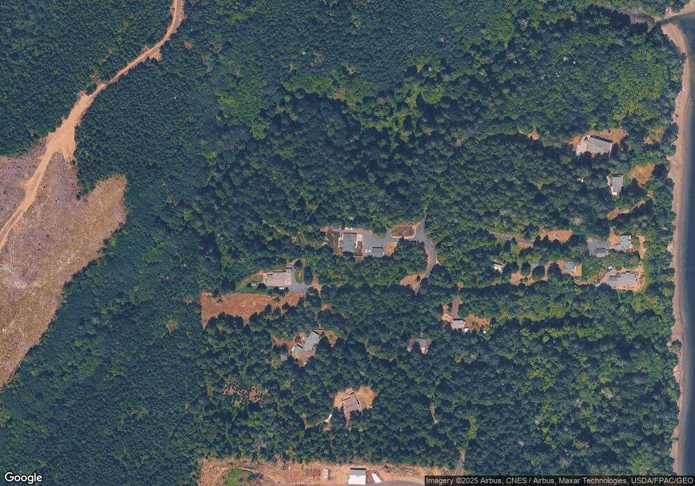
Map
Nearby Homes
- 0 E Cottonwood Dr Unit 13 NWM2308746
- 0 E Cottonwood Dr Unit 40
- 0 E Cottonwood Dr Unit 40 NWM2308766
- 0 E Cottonwood Dr Unit 13 24324515
- 4 E Cottonwood Dr
- 81 E Panorama Way
- 0 E Strong Rd Unit 34 24009692
- 0 E Strong Rd Unit 43 24316768
- 0 E Strong Rd Unit 34 NWM2308734
- 0 E Strong Rd Unit 43 NWM2308755
- 161 E Geist Point Dr
- 11 E Geist Point Rd
- 1130 E Sunset Hill Rd
- 10 E Lynda Ln W
- 51 E Lynda Ln W
- 1236 E Island View Rd
- 382 E Bergeson Rd
- 0 E Pickering Rd Unit 26331204
- 0 E Willchar Blvd
- 0 E Thornton Rd
- 923 E Strong Rd
- 990 E Strong Rd
- 831 E Strong Rd
- 890 E Strong Rd
- 922 E Strong Rd
- 3 Xxx Vineyard Dr
- 0 Tr B & C of Sp 1588 & Sp 1529 Unit 1340841
- 950 E Strong Rd
- 980 E Strong Rd
- 970 E Strong Rd
- 920 E Strong Rd
- 0 Tr 8 of Survey 8 76 Strong Rd Unit 1748765
- 81 E Cottonwood Dr
- 670 E Strong Rd
- 751 E Strong Rd
- 41 E Cottonwood Dr
- 191 E Wood Ln
- 390 E Vineyard Dr
- 801 E Strong Rd
- 410 E Vineyard Dr
Your Personal Tour Guide
Ask me questions while you tour the home.