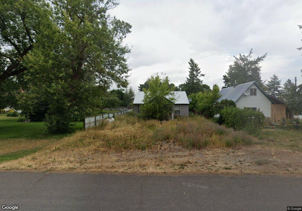
951 Highland St Ashton, ID 83420
Estimated Value: $185,011 - $451,000
2
Beds
2
Baths
1,099
Sq Ft
$278/Sq Ft
Est. Value
About This Home
This home is located at 951 Highland St, Ashton, ID 83420 and is currently estimated at $305,503, approximately $277 per square foot. 951 Highland St is a home located in Fremont County with nearby schools including Ashton Elementary School and North Fremont Junior/Senior High School.
Ownership History
Date
Name
Owned For
Owner Type
Purchase Details
Closed on
Oct 31, 2025
Sold by
Az Realty Llc
Bought by
Zehrung Andrew
Current Estimated Value
Purchase Details
Closed on
Aug 28, 2025
Sold by
Edwards Corey and Edwards Mandy
Bought by
Az Realty Llc
Purchase Details
Closed on
Oct 28, 2011
Sold by
Deutsche Bank National Trust Co
Bought by
Morally Investments Llc
Purchase Details
Closed on
Jul 12, 2011
Sold by
Chriswell Sandy K
Bought by
Deutsche Bank National Trust Co and Novastar Mortgage Funding Trust
Create a Home Valuation Report for This Property
The Home Valuation Report is an in-depth analysis detailing your home's value as well as a comparison with similar homes in the area
Purchase History
| Date | Buyer | Sale Price | Title Company |
|---|---|---|---|
| Zehrung Andrew | -- | None Listed On Document | |
| Az Realty Llc | -- | Alliance Title | |
| Morally Investments Llc | -- | -- | |
| Deutsche Bank National Trust Co | -- | -- |
Source: Public Records
Tax History
| Year | Tax Paid | Tax Assessment Tax Assessment Total Assessment is a certain percentage of the fair market value that is determined by local assessors to be the total taxable value of land and additions on the property. | Land | Improvement |
|---|---|---|---|---|
| 2025 | $1,157 | $100,771 | $15,050 | $85,721 |
| 2024 | $1,154 | $98,681 | $15,050 | $83,631 |
| 2023 | $1,162 | $98,681 | $15,050 | $83,631 |
| 2022 | $1,369 | $84,769 | $14,000 | $70,769 |
| 2021 | $1,400 | $67,981 | $12,250 | $55,731 |
| 2020 | $1,331 | $62,231 | $12,250 | $49,981 |
| 2019 | $1,311 | $62,231 | $12,250 | $49,981 |
| 2018 | $1,287 | $59,134 | $12,250 | $46,884 |
| 2017 | $1,305 | $53,018 | $11,883 | $41,135 |
| 2016 | $1,256 | $53,018 | $11,883 | $41,135 |
| 2015 | $1,243 | $53,018 | $0 | $0 |
| 2014 | $1,035 | $53,018 | $0 | $0 |
| 2013 | $1,035 | $53,018 | $0 | $0 |
Source: Public Records
Map
Nearby Homes
- 108 S 7th St
- LOTS 1-3 E 1300 Rd N
- 641 Fremont St
- 118 N 8th St Unit 2
- 885 Maple St
- 511 Id-47
- Lot 22 Sunflower Ln
- 417 Main St
- L2 BLK 1 E 1300 Rd N
- 540 N 4th St Unit 6
- 161 Walnut St
- 3660 E 1312 N
- TBD Annies Landing
- 1331 N 3687 E
- 1413 U S 20
- 3660 E 1100 N
- 3656 Fishermans Dr
- 1105 N 3400 E
- 3887 Schaefer Ln
- 1316 N 3300 E