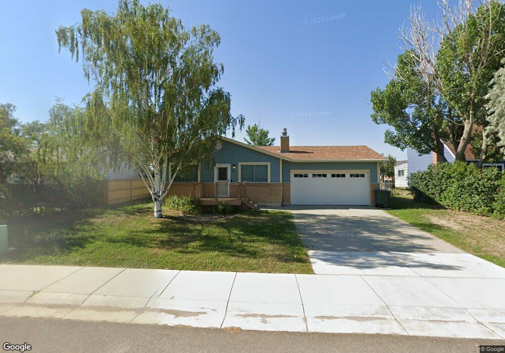
951 Leal St Douglas, WY 82633
Estimated Value: $258,000 - $319,000
4
Beds
2
Baths
1,768
Sq Ft
$166/Sq Ft
Est. Value
About This Home
This home is located at 951 Leal St, Douglas, WY 82633 and is currently estimated at $293,331, approximately $165 per square foot. 951 Leal St is a home located in Converse County with nearby schools including Douglas High School.
Ownership History
Date
Name
Owned For
Owner Type
Purchase Details
Closed on
Oct 31, 2024
Sold by
Shadden Michael and Shadden Deborah
Bought by
Harper Bram and Harper Mallory
Current Estimated Value
Home Financials for this Owner
Home Financials are based on the most recent Mortgage that was taken out on this home.
Original Mortgage
$287,570
Outstanding Balance
$284,691
Interest Rate
6.09%
Mortgage Type
FHA
Estimated Equity
$8,640
Purchase Details
Closed on
Sep 1, 2021
Sold by
Shadden Michael
Bought by
Shadden Michael and Shadden Deborah
Home Financials for this Owner
Home Financials are based on the most recent Mortgage that was taken out on this home.
Original Mortgage
$165,300
Interest Rate
2.1%
Mortgage Type
New Conventional
Purchase Details
Closed on
Sep 11, 2009
Sold by
Rings Penny S
Bought by
Coride Shannon J
Create a Home Valuation Report for This Property
The Home Valuation Report is an in-depth analysis detailing your home's value as well as a comparison with similar homes in the area
Home Values in the Area
Average Home Value in this Area
Purchase History
| Date | Buyer | Sale Price | Title Company |
|---|---|---|---|
| Harper Bram | -- | First American Title | |
| Shadden Michael | -- | First American Title | |
| Coride Shannon J | -- | None Available |
Source: Public Records
Mortgage History
| Date | Status | Borrower | Loan Amount |
|---|---|---|---|
| Open | Harper Bram | $287,570 | |
| Previous Owner | Shadden Michael | $165,300 |
Source: Public Records
Tax History Compared to Growth
Tax History
| Year | Tax Paid | Tax Assessment Tax Assessment Total Assessment is a certain percentage of the fair market value that is determined by local assessors to be the total taxable value of land and additions on the property. | Land | Improvement |
|---|---|---|---|---|
| 2025 | $1,369 | $17,372 | $3,524 | $13,848 |
| 2024 | $1,369 | $20,640 | $4,698 | $15,942 |
| 2023 | $1,404 | $21,038 | $4,698 | $16,340 |
| 2022 | $1,263 | $18,792 | $4,475 | $14,317 |
| 2021 | $1,214 | $17,851 | $4,475 | $13,376 |
| 2020 | $1,169 | $17,522 | $4,475 | $13,047 |
| 2019 | $1,107 | $16,533 | $4,475 | $12,058 |
| 2018 | $1,046 | $15,888 | $4,475 | $11,413 |
| 2017 | $1,154 | $17,501 | $4,475 | $13,026 |
| 2015 | $1,157 | $17,597 | $4,430 | $13,167 |
| 2014 | $1,080 | $16,389 | $4,609 | $11,780 |
Source: Public Records
Map
Nearby Homes
- 807 Leal St
- 310 S Wind River Dr
- 820 Leal St
- 217 S Wind River Dr
- 935 Flicker St
- 217 Monterey Way
- 903 Leal St
- 1304 Leal St
- 214 La Prele Dr
- 127 Angus Loop
- 475 Pearson Dr
- 0 S Riverbend Dr Unit 20231853
- 0 S Riverbend Dr Unit 20253383
- 401 S Russell Lot 116 Ave
- 401 S Russell Lot 46 Ave
- 401 S Ave
- 401 S Russell Lot 175 Ave
- 0 W Richards St
- 870 & 876 Shoshone Dr
- 928 Meadowlark Dr