Estimated Value: $174,000 - $216,000
Studio
2
Baths
1,295
Sq Ft
$151/Sq Ft
Est. Value
About This Home
This home is located at 951 Lige Rd, Axson, GA 31624 and is currently estimated at $195,000, approximately $150 per square foot. 951 Lige Rd is a home located in Atkinson County with nearby schools including Pearson Elementary School, Willacoochee Elementary School, and Atkinson County High School.
Ownership History
Date
Name
Owned For
Owner Type
Purchase Details
Closed on
Sep 17, 2021
Sold by
Merrell Tyler H
Bought by
Escobar Nathaniel T and Escobar Aja Lefan
Current Estimated Value
Purchase Details
Closed on
Mar 24, 2020
Sold by
Merrell Deanne Emerick
Bought by
Merrell Tyler Higgs
Purchase Details
Closed on
Dec 23, 2009
Sold by
Merrell Tyler
Bought by
Merrell Tyler H and Merrell Laura C
Create a Home Valuation Report for This Property
The Home Valuation Report is an in-depth analysis detailing your home's value as well as a comparison with similar homes in the area
Purchase History
| Date | Buyer | Sale Price | Title Company |
|---|---|---|---|
| Escobar Nathaniel T | $47,050 | -- | |
| Merrell Tyler Higgs | -- | -- | |
| Merrell Tyler H | -- | -- |
Source: Public Records
Tax History
| Year | Tax Paid | Tax Assessment Tax Assessment Total Assessment is a certain percentage of the fair market value that is determined by local assessors to be the total taxable value of land and additions on the property. | Land | Improvement |
|---|---|---|---|---|
| 2024 | $1,382 | $47,180 | $2,953 | $44,227 |
| 2023 | $831 | $47,180 | $2,953 | $44,227 |
| 2022 | $1,376 | $47,180 | $2,953 | $44,227 |
| 2021 | $1,451 | $47,180 | $2,953 | $44,227 |
| 2020 | $1,259 | $39,156 | $2,953 | $36,203 |
| 2019 | $1,259 | $39,156 | $2,953 | $36,203 |
| 2018 | $1,266 | $39,156 | $2,953 | $36,203 |
| 2017 | $1,180 | $39,156 | $2,953 | $36,203 |
| 2016 | $858 | $28,666 | $2,953 | $25,713 |
| 2015 | -- | $28,665 | $2,953 | $25,713 |
| 2014 | -- | $28,666 | $2,953 | $25,713 |
Source: Public Records
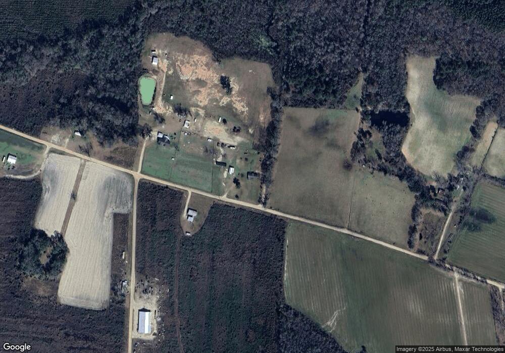
Map
Nearby Homes
- 129 Hoot Owl Ln Unit 1
- 0 Doc Sutton Rd
- 0 Mount Zion Church Rd
- 21 A Gun Metal Rd
- 1398 Adventure Trail
- 0 Duncan Bridge Rd
- 7291 Grey Hawk Rd
- 0 Grey Hawk Rd
- 1820 Cogdell Hwy
- 8708 Cogdell Hwy
- 74 Pearson St
- 82 Old 122 Hwy E
- 144 Heidi Ln
- 0 Honeysuckle Ln Unit 10623320
- 120 S Farms Edge Rd
- 121 Farms Edge Rd
- 754 U S 221
- 00 Farms Edge Rd
- 6436 Old Axson Rd
- 695 Jasmine Dr
Your Personal Tour Guide
Ask me questions while you tour the home.