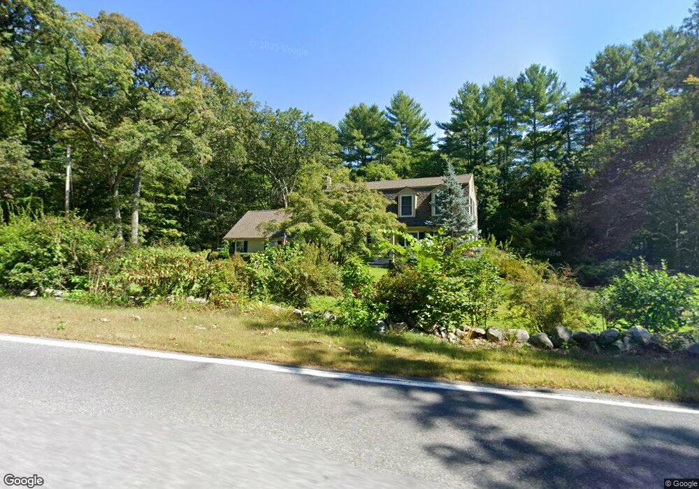
951 Main St Dunstable, MA 01827
Estimated Value: $679,000 - $771,000
4
Beds
2
Baths
2,075
Sq Ft
$355/Sq Ft
Est. Value
About This Home
This home is located at 951 Main St, Dunstable, MA 01827 and is currently estimated at $735,734, approximately $354 per square foot. 951 Main St is a home located in Middlesex County with nearby schools including Groton Dunstable Regional High School and 2nd Nature Academy.
Ownership History
Date
Name
Owned For
Owner Type
Purchase Details
Closed on
Jan 16, 2025
Sold by
West Jennifer L and West Joshua C
Bought by
Spring Piece T and Spring West
Current Estimated Value
Create a Home Valuation Report for This Property
The Home Valuation Report is an in-depth analysis detailing your home's value as well as a comparison with similar homes in the area
Home Values in the Area
Average Home Value in this Area
Purchase History
| Date | Buyer | Sale Price | Title Company |
|---|---|---|---|
| Spring Piece T | -- | None Available | |
| Spring Piece T | -- | None Available |
Source: Public Records
Tax History Compared to Growth
Tax History
| Year | Tax Paid | Tax Assessment Tax Assessment Total Assessment is a certain percentage of the fair market value that is determined by local assessors to be the total taxable value of land and additions on the property. | Land | Improvement |
|---|---|---|---|---|
| 2025 | $8,315 | $604,700 | $212,000 | $392,700 |
| 2024 | $7,968 | $570,800 | $195,700 | $375,100 |
| 2023 | $7,946 | $530,800 | $195,700 | $335,100 |
| 2022 | $7,325 | $480,300 | $195,700 | $284,600 |
| 2021 | $150 | $444,500 | $179,400 | $265,100 |
| 2020 | $15,431 | $433,600 | $179,400 | $254,200 |
| 2019 | $7,140 | $418,500 | $179,400 | $239,100 |
| 2018 | $6,272 | $400,800 | $179,400 | $221,400 |
| 2017 | $6,765 | $397,500 | $179,400 | $218,100 |
| 2016 | $6,448 | $389,600 | $171,200 | $218,400 |
| 2015 | $6,105 | $364,900 | $143,500 | $221,400 |
| 2014 | $5,368 | $340,400 | $143,500 | $196,900 |
Source: Public Records
Map
Nearby Homes
- 91 Century Way
- 62 Brook St
- 319 Pleasant St
- 121 Cherrywood Dr
- 4 Thorndike St
- 5 Doucet Ave
- 1 Doucet Ave
- 7 Wilderness Dr
- 2 Wilderness Dr
- 1 Wilderness Dr
- 3 Wilderness Dr
- 79 Wilderness Dr
- 4 Wilderness Dr
- 6 Wilderness Dr
- 58 Wilderness Dr
- 57 Wilderness Dr
- 65 Wilderness Dr
- 59 Wilderness Dr
- 61 Wilderness Dr
- 4 Hikers Ln