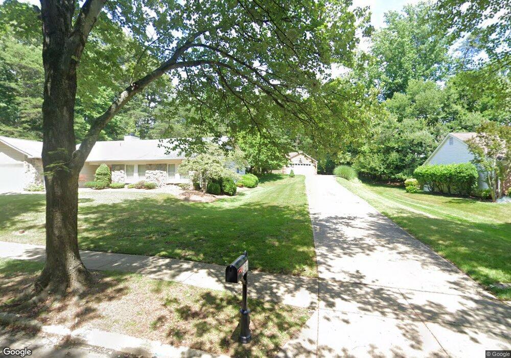
951 Mastline Dr Annapolis, MD 21401
Parole NeighborhoodEstimated Value: $636,809 - $721,000
--
Bed
2
Baths
2,038
Sq Ft
$328/Sq Ft
Est. Value
About This Home
This home is located at 951 Mastline Dr, Annapolis, MD 21401 and is currently estimated at $668,202, approximately $327 per square foot. 951 Mastline Dr is a home located in Anne Arundel County with nearby schools including Rolling Knolls Elementary School, Wiley H. Bates Middle School, and Annapolis High School.
Ownership History
Date
Name
Owned For
Owner Type
Purchase Details
Closed on
May 15, 2001
Sold by
Henritzy Adam F
Bought by
Wishard Stuart L and Wishard Wanda L
Current Estimated Value
Purchase Details
Closed on
Oct 18, 1991
Sold by
Miller Edward E
Bought by
Henritzy Adam F
Home Financials for this Owner
Home Financials are based on the most recent Mortgage that was taken out on this home.
Original Mortgage
$148,250
Interest Rate
8.82%
Purchase Details
Closed on
Nov 13, 1987
Sold by
U S Home Corp
Bought by
Miller Edward E
Home Financials for this Owner
Home Financials are based on the most recent Mortgage that was taken out on this home.
Original Mortgage
$128,000
Interest Rate
10.66%
Create a Home Valuation Report for This Property
The Home Valuation Report is an in-depth analysis detailing your home's value as well as a comparison with similar homes in the area
Home Values in the Area
Average Home Value in this Area
Purchase History
| Date | Buyer | Sale Price | Title Company |
|---|---|---|---|
| Wishard Stuart L | $207,000 | -- | |
| Henritzy Adam F | $200,000 | -- | |
| Miller Edward E | $150,000 | -- |
Source: Public Records
Mortgage History
| Date | Status | Borrower | Loan Amount |
|---|---|---|---|
| Previous Owner | Henritzy Adam F | $148,250 | |
| Previous Owner | Miller Edward E | $128,000 |
Source: Public Records
Tax History Compared to Growth
Tax History
| Year | Tax Paid | Tax Assessment Tax Assessment Total Assessment is a certain percentage of the fair market value that is determined by local assessors to be the total taxable value of land and additions on the property. | Land | Improvement |
|---|---|---|---|---|
| 2025 | $4,491 | $526,767 | -- | -- |
| 2024 | $4,491 | $490,833 | $0 | $0 |
| 2023 | $4,344 | $454,900 | $231,200 | $223,700 |
| 2022 | $4,077 | $454,900 | $231,200 | $223,700 |
| 2021 | $3,924 | $454,900 | $231,200 | $223,700 |
| 2020 | $3,924 | $462,900 | $241,200 | $221,700 |
| 2019 | $3,852 | $447,800 | $0 | $0 |
| 2018 | $4,388 | $432,700 | $0 | $0 |
| 2017 | $3,613 | $417,600 | $0 | $0 |
| 2016 | -- | $405,067 | $0 | $0 |
| 2015 | -- | $392,533 | $0 | $0 |
| 2014 | -- | $380,000 | $0 | $0 |
Source: Public Records
Map
Nearby Homes
- 932 Riversedge Cir
- 1007 Boom Ct
- 1003 Mastline Dr
- 916 Sextant Way
- 1012 Mastline Dr
- 1909 Marconi Cir
- 2671 Cunningham Hole Rd
- 2600 Compass Dr
- 2601 Compass Dr
- 940 Astern Way Unit 604
- 940 Astern Way Unit 309
- 2664 Compass Dr
- 930 Astern Way Unit 609
- 930 Astern Way Unit 502
- 930 Astern Way Unit 405
- 930 Astern Way Unit 511
- 2900 Shipmaster Way Unit 216
- 2900 Shipmaster Way Unit 211
- 2737 Yeomans Lantern Ct
- 772 Ballast Way
- 949 Mastline Dr
- 953 Mastline Dr
- 944 Schooner Cir
- 801 Bridgeport Way
- 942 Schooner Cir
- 803 Bridgeport Way
- 805 Bridgeport Way
- 955 Mastline Dr
- 946 Schooner Cir
- 800 Bridgeport Way
- 807 Bridgeport Way
- 938 Schooner Cir
- 954 Shadewater Way
- 936 Schooner Cir
- 950 Mastline Dr
- 951 Heather Way
- 806 Bridgeport Way
- 804 Bridgeport Way
- 2566 Glen Cove
- 2566 Glen Cove Unit 81