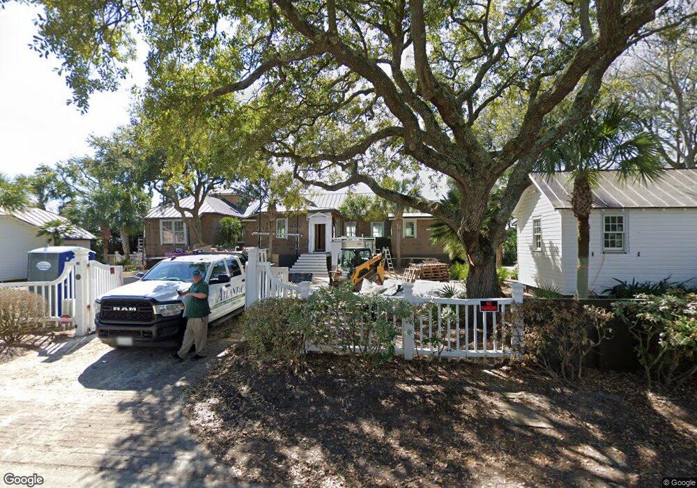
951 Middle St Sullivans Island, SC 29482
Sullivan's Island NeighborhoodEstimated Value: $5,778,000 - $7,101,768
5
Beds
7
Baths
5,180
Sq Ft
$1,269/Sq Ft
Est. Value
About This Home
This home is located at 951 Middle St, Sullivans Island, SC 29482 and is currently estimated at $6,572,589, approximately $1,268 per square foot. 951 Middle St is a home located in Charleston County with nearby schools including Sullivans Island Elementary School, Moultrie Middle School, and Wando High School.
Ownership History
Date
Name
Owned For
Owner Type
Purchase Details
Closed on
Oct 16, 2024
Sold by
King W Kirkwood
Bought by
King Tara E and Kirkwood King W
Current Estimated Value
Purchase Details
Closed on
Oct 8, 2024
Sold by
King Tara E
Bought by
King W Kirkwood
Purchase Details
Closed on
Jun 15, 2012
Sold by
Long Anne Osborne
Bought by
King Tara E
Home Financials for this Owner
Home Financials are based on the most recent Mortgage that was taken out on this home.
Original Mortgage
$2,500,000
Interest Rate
2.75%
Mortgage Type
Future Advance Clause Open End Mortgage
Create a Home Valuation Report for This Property
The Home Valuation Report is an in-depth analysis detailing your home's value as well as a comparison with similar homes in the area
Home Values in the Area
Average Home Value in this Area
Purchase History
| Date | Buyer | Sale Price | Title Company |
|---|---|---|---|
| King Tara E | -- | None Listed On Document | |
| King W Kirkwood | -- | None Listed On Document | |
| King Tara E | $5,000,000 | -- |
Source: Public Records
Mortgage History
| Date | Status | Borrower | Loan Amount |
|---|---|---|---|
| Previous Owner | King Tara E | $2,500,000 |
Source: Public Records
Tax History Compared to Growth
Tax History
| Year | Tax Paid | Tax Assessment Tax Assessment Total Assessment is a certain percentage of the fair market value that is determined by local assessors to be the total taxable value of land and additions on the property. | Land | Improvement |
|---|---|---|---|---|
| 2024 | $20,436 | $180,480 | $0 | $0 |
| 2023 | $20,436 | $180,480 | $0 | $0 |
| 2022 | $20,186 | $180,480 | $0 | $0 |
| 2021 | $20,926 | $180,480 | $0 | $0 |
| 2020 | $21,359 | $180,480 | $0 | $0 |
| 2019 | $25,225 | $222,800 | $0 | $0 |
| 2017 | $22,206 | $222,800 | $0 | $0 |
| 2016 | $20,873 | $220,000 | $0 | $0 |
| 2015 | $21,893 | $220,000 | $0 | $0 |
| 2014 | $18,005 | $0 | $0 | $0 |
| 2011 | -- | $0 | $0 | $0 |
Source: Public Records
Map
Nearby Homes
- 932 Middle St
- 904 Middle St
- 1651 Atlantic Ave
- 1714 Middle St
- 1727 Atlantic Ave
- 1750 Ion Ave
- 967 Royall Ave
- 1773 Atlantic Ave
- 242 Middle St
- 301 Center St
- 521 London Bridge Rd
- 3 Pierates Cruz
- 1647 Marsh Harbor Ln
- 1602 Marsh Harbor Ln Unit A
- 721 Royall Ave
- 208 Mccormick St
- 551 Klein St
- 1608 Marsh Harbor Ln Unit C
- 1520 Barquentine Dr
- 558 Center St
- 957 Middle St
- 933 Middle St
- 950 Middle St
- 956 Middle St Unit B
- 956 Middle St Unit A
- 956 Middle St
- 1001 Middle St
- 927 Middle St
- 1002 Middle St
- 308 Station 9 1/2 St
- 956 Osceola Ave
- 1009 Middle St
- 923 Middle St
- 312 Station 10 St
- 1010 Middle St
- 924 Middle St
- 933 Osceola Ave
- 927 Osceola Ave
- 919 Middle St
- 1013 Middle St